Everything there is to do
Every activity belongs to one area, or stands on its own, like the Blausee. Choose a season below; that choice applies to the whole site.
 Winter
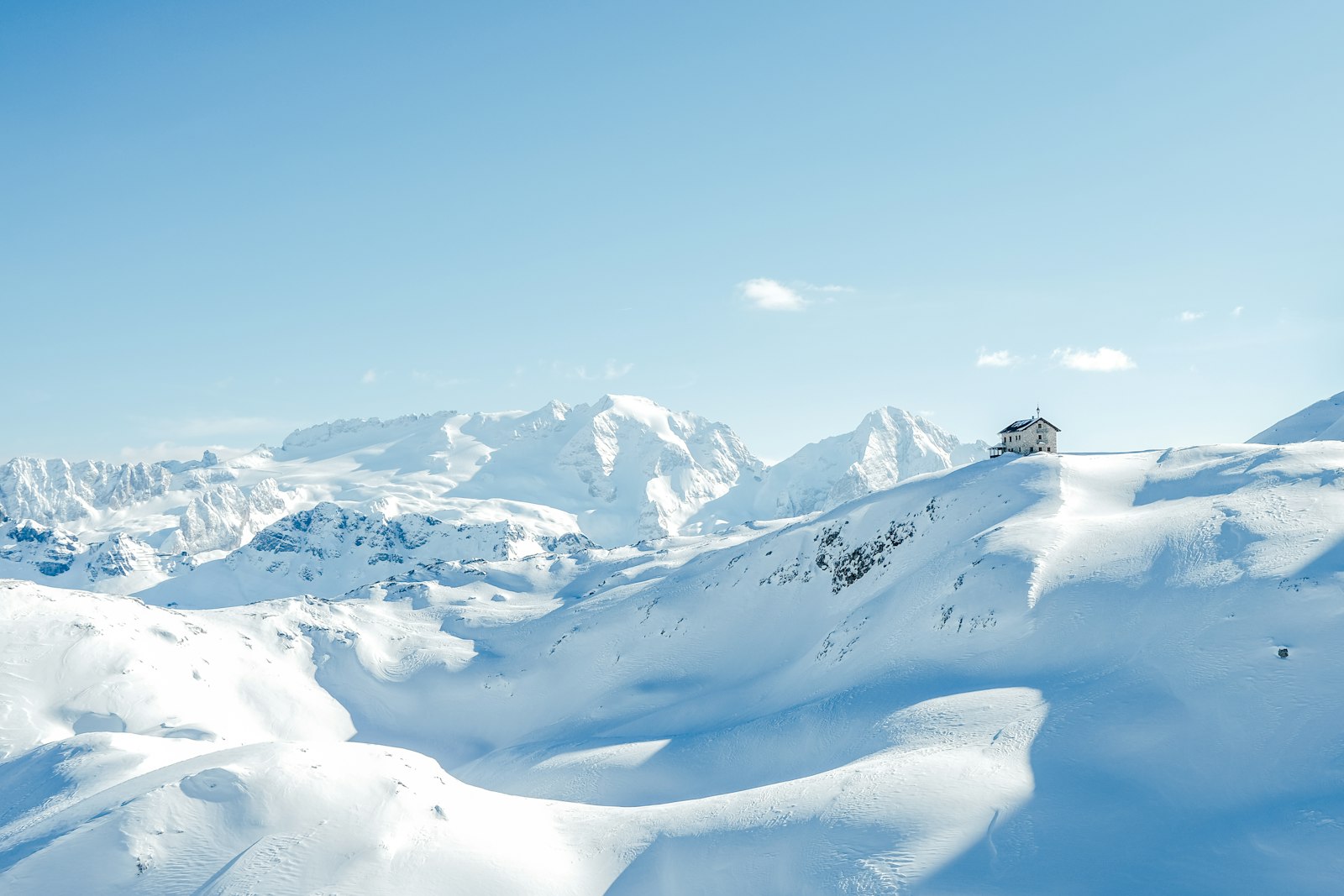
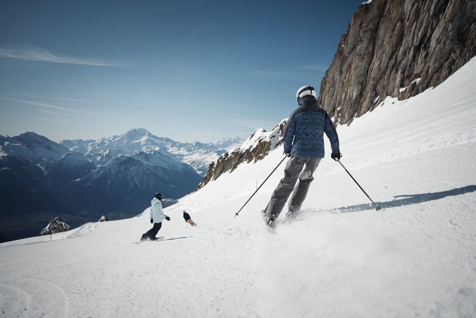
Twenty-five kilometres of piste between 1,800 and 2,600 metres, served by the gondola and four drag lifts. The runs are mostly blue and red, generously wide and rarely crowded. Because the area is used mainly by locals, you'll barely queue here even during the Christmas holidays. The cable car departs from Basweri in Ried-Brig, less than ten minutes from the chalet. At Restaurant Fleschboden, at 2,135 metres, you eat with the whole Valais Alpine panorama in front of you.
 Winter
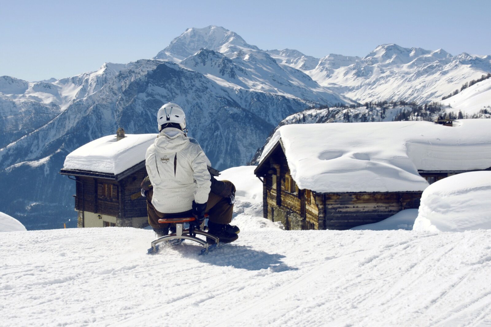
At seven to eight kilometres, the Rosswald toboggan run is among the longest in Valais. You cover more than 760 metres of descent in a string of bends that winds through the forest down to the valley station. Toboggans can be hired at the top, so you don't need to bring anything. It's manageable for children from around six, though the first run is usually the most cautious one. Allow a good hour per ride, including the gondola back up.
 Winter
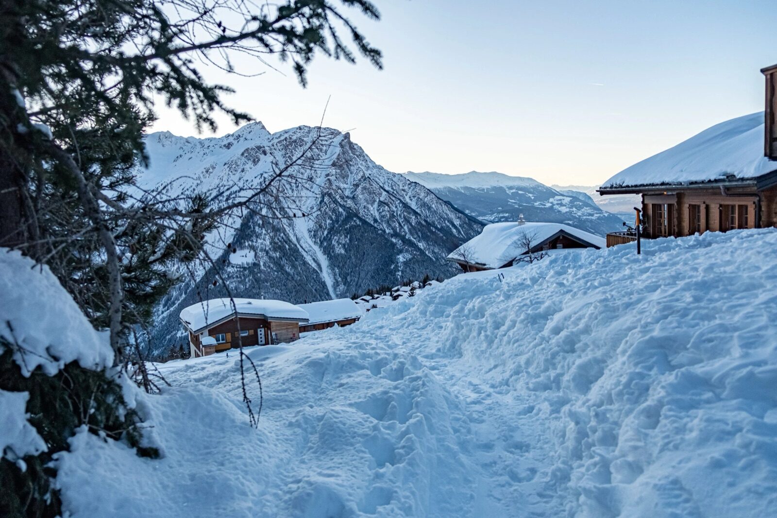
A signposted snowshoe route of 3.73 kilometres with 304 metres of ascent, for which you should allow around one and a half to two hours. The route climbs from the mountain station to the Fleschboden and then crosses open snowfields with clear views of the mountains on the other side of the valley. The level is moderate: you don't need to be an experienced mountain walker, but a bit of fitness helps. Snowshoes can be hired in Ried-Brig and at the top. Along the way you meet almost no one, which is rather the point.
 Summer
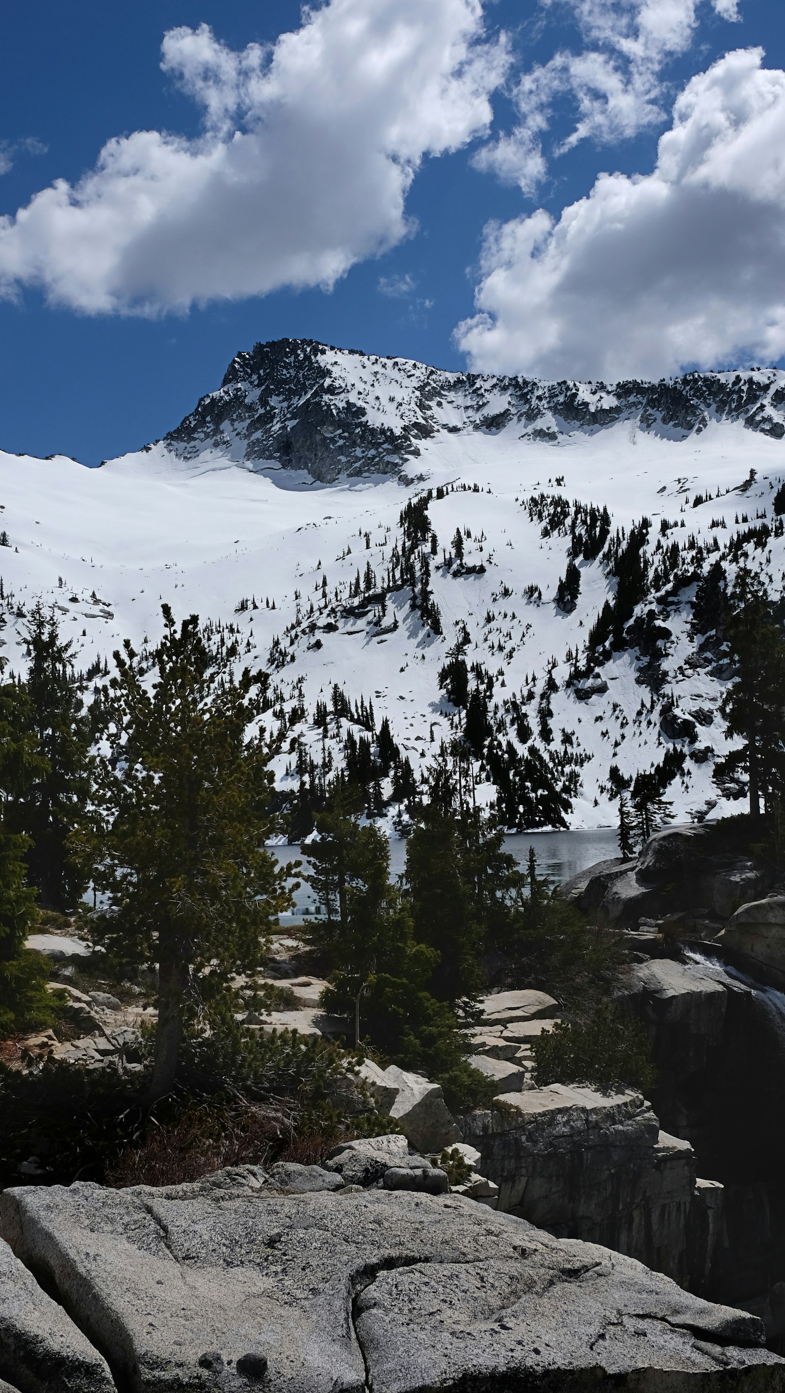
A 4.7-kilometre circular walk taking around an hour and a half, following the old mountain water channel. The path traces the suone, the centuries-old irrigation channel that once carried meltwater across the dry south-facing slope, and stays almost level as a result. That makes it one of the few mountain walks where you look at the view more than at your feet. Along the way you pass alpine meadows and larch forest. Those wanting more can continue on the hut walk to the Bortelhütte, 7.2 kilometres in about three hours.
 Summer
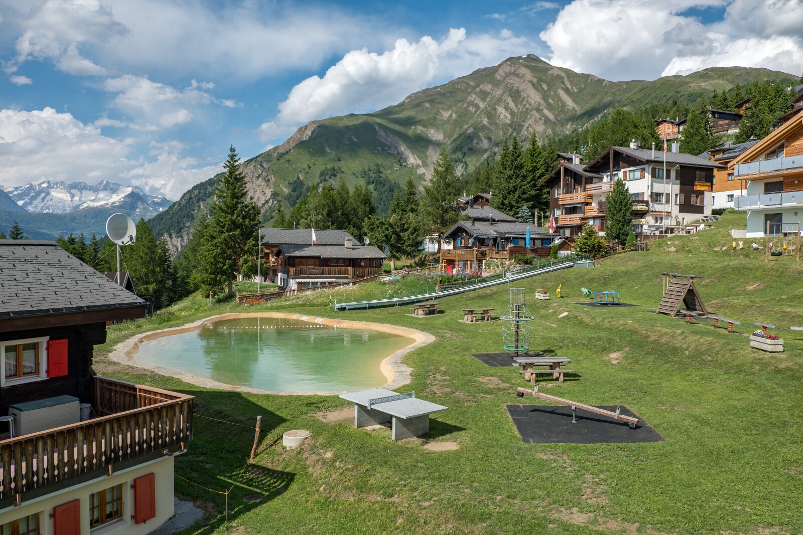
Beside the mountain station lies a small bathing lake with a playground next to it, at eighteen hundred metres. The water is cold but just right on a warm July day, and the meadow around it is flat enough to spread out a blanket for the afternoon. There's a free barbecue spot with wood provided, turning an easy walk into a full day out. Children are usually reluctant to leave. Everything is within walking distance of the gondola, so there's no need to lug heavy bags.
 Summer
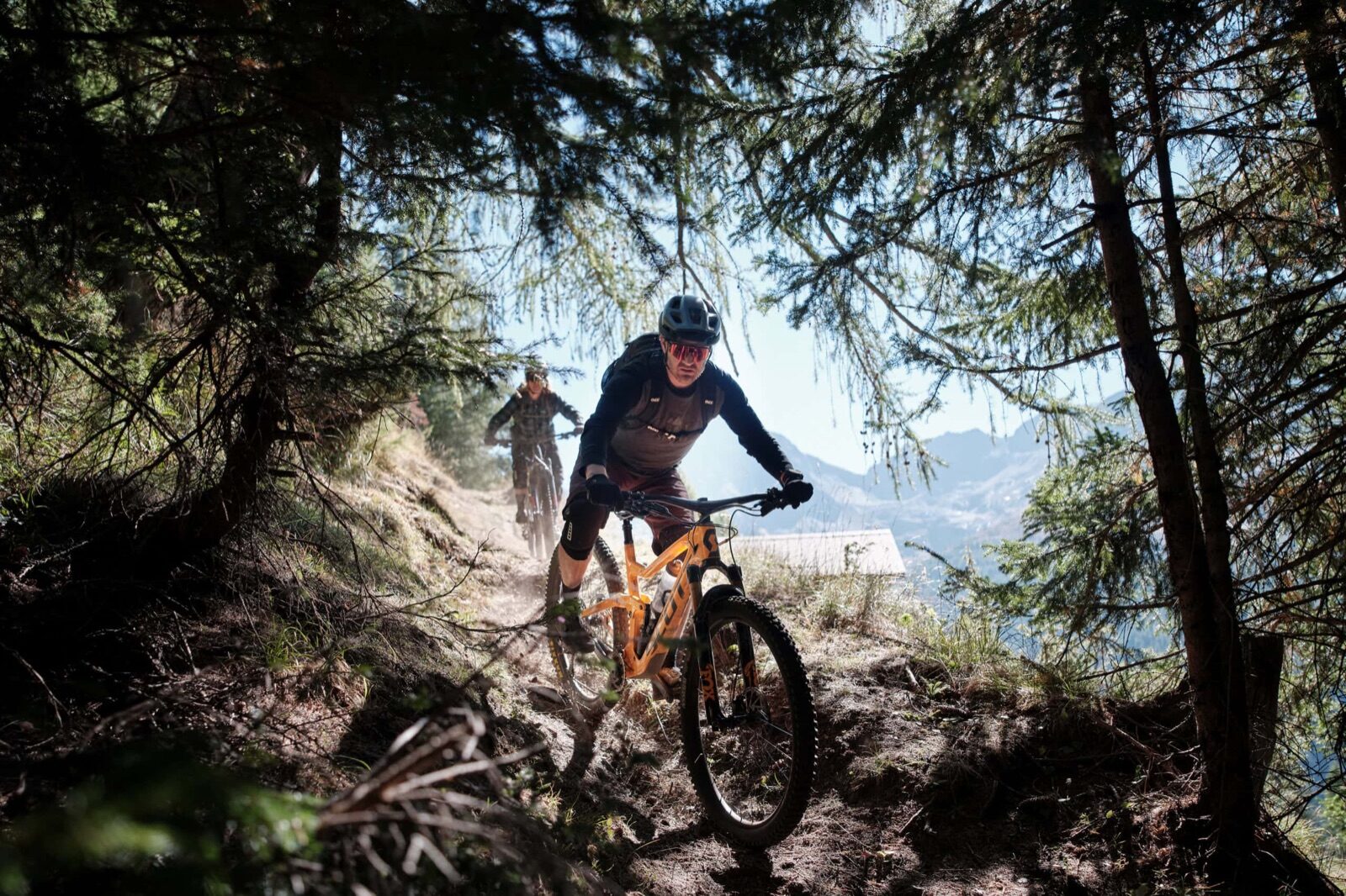
The Rosswald Bike trail covers nine kilometres with 840 metres of climbing and is the area's home route. Those wanting more can ride the Saflisch Bike, almost thirty-five kilometres long, an official stage of the Valais Alpine Bike Route that crosses the Saflisch Pass. Both routes run along alpine roads and farm tracks rather than technical singletrack, so they're manageable on an ordinary mountain bike. The gondola takes bikes, making the climb optional. There's little shade along the way, so set off early.
 Year-round
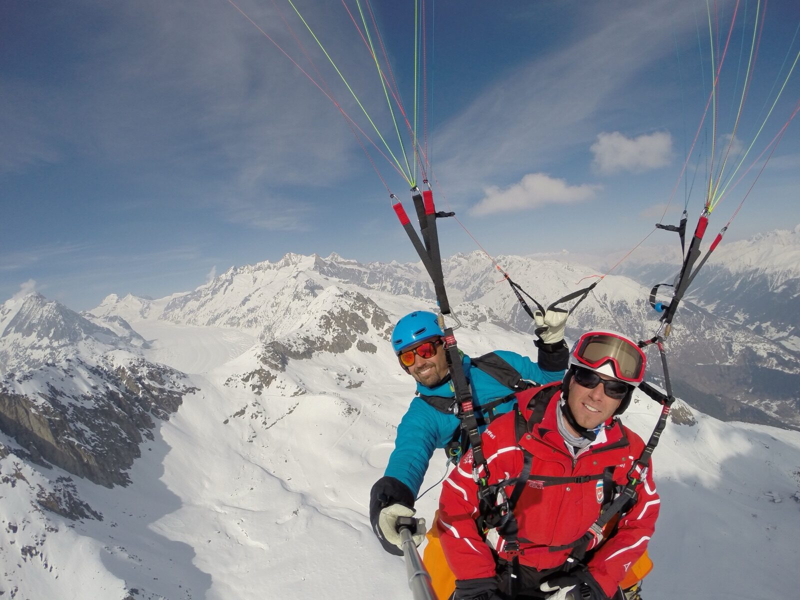
Tandem paragliding flights depart from Rosswald all year round. You walk a few metres down the slope with the pilot before soaring out over the Rhône valley with Brig and the Stockalper Palace below you. In winter you launch from snow, in summer from the alpine meadow; both are equally impressive. No experience is needed, just a little nerve for the first few steps. Flights are booked from Brig and last between ten and thirty minutes depending on the wind.
 Year-round
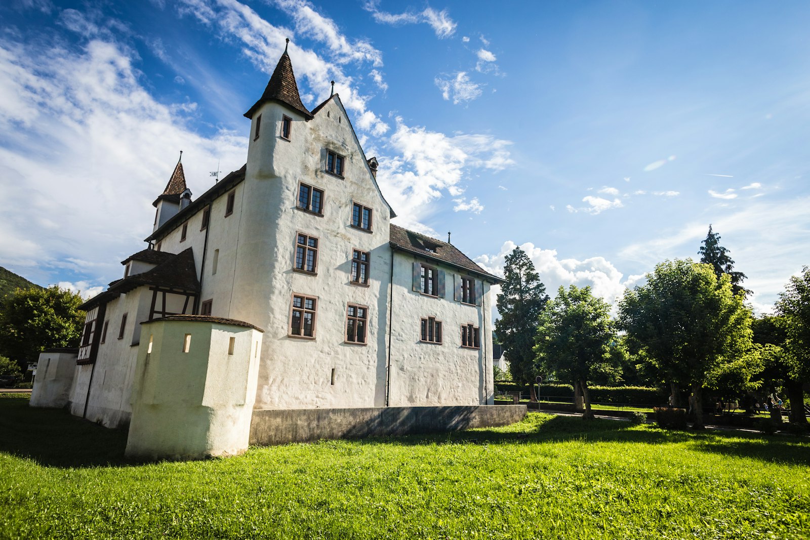
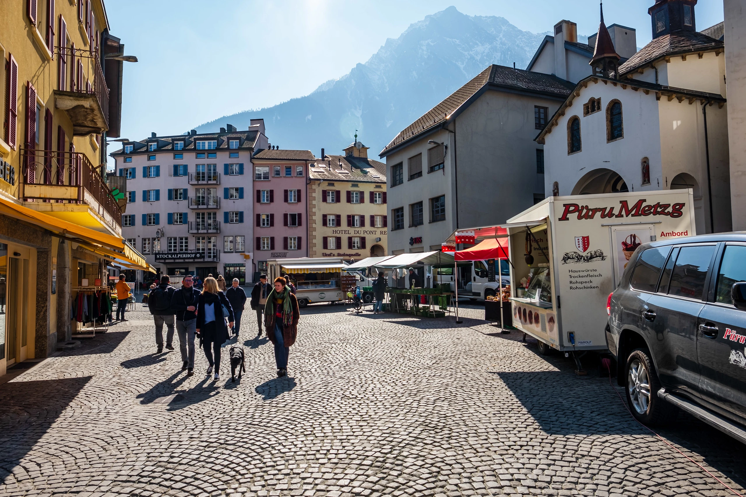
From 1649 Kaspar Stockalper vom Thurm built the most powerful secular baroque building in present-day Switzerland, funded by the proceeds of his salt and transport trade across the Simplon. Three granite towers with gilded onion domes enclose a Renaissance arcaded courtyard that is free to enter during the day. Today it houses the municipal council, the district court and the Passage Simplon museum. A guided tour costs from CHF 12 per person, or CHF 17 combined with the town walk. Even without a ticket, the courtyard is one of the finest spots in town.
 Year-round
Every Saturday morning from eight until noon, the Stadtplatz fills with stalls selling local vegetables, fruit, meat, cheese and bread. It's a genuine local shopping market rather than a tourist one, so quality is high and prices are fair. Valais rye bread, dried meat and mountain cheese are the things you buy here and miss once home. Cafés around the market let you take it all in over a coffee. For guests arriving on a Saturday, this is the handiest first stop of the week.
 Summer
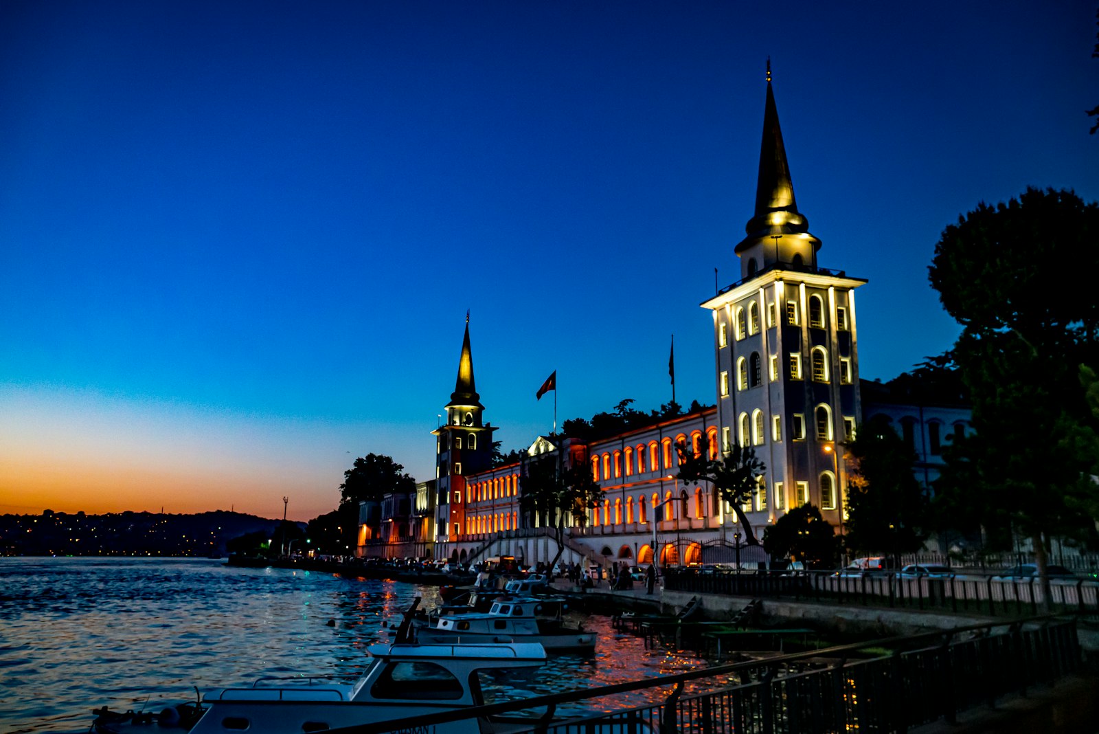
From June to October, a public town walk of an hour and a half departs every Thursday at quarter past five. The starting point is the Chavez fountain on Sebastiansplatz, named after the aviator who was the first to fly over the Alps in 1910 and died in the landing at Domodossola. The guide takes you past the Stockalper Palace, the old trade routes and the places where the Simplon Tunnel transformed the town. Participation costs CHF 15 per person. In 2026 Brig-Glis received the Wakker Prize for precisely this carefully preserved old town.
 Year-round
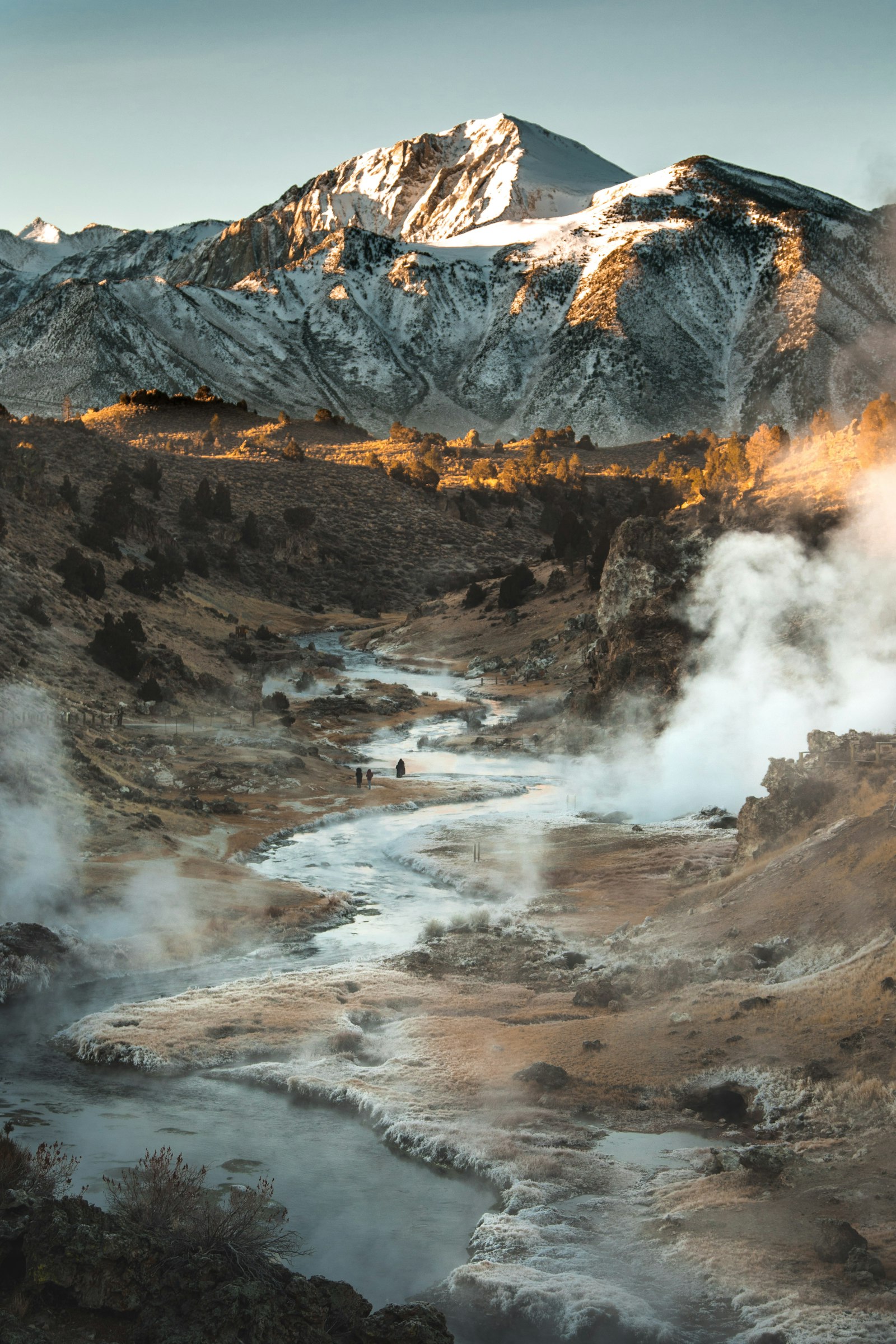
The thermal spring at Brigerbad was already used by the Romans and supplies fifty litres per second of lithium-rich sodium-calcium-sulphate water at 21 to 50 degrees. The complex has more than 2,600 square metres of pools, including a large outdoor pool where you lie in warm water with snow on the edge in winter. There's a grotto pool, a sports pool and a children's section. It's open all year, even when it's freezing outside. For a day when the weather turns, this is the best fallback in the region.
 Summer
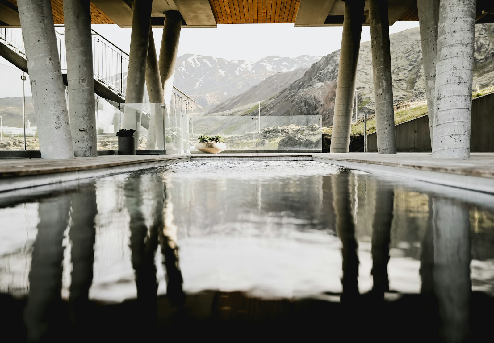
Brig's municipal outdoor pool lies on the edge of town and opens in summer. There's a diving tower, a water slide, a separate children's pool and a spacious lawn with trees for shade. It's considerably cheaper than the thermal baths and geared much more towards swimming and play than gentle floating. On warm days half of Brig comes to spend the afternoon here. Handy to combine with shopping or a market visit in the centre.
 Year-round
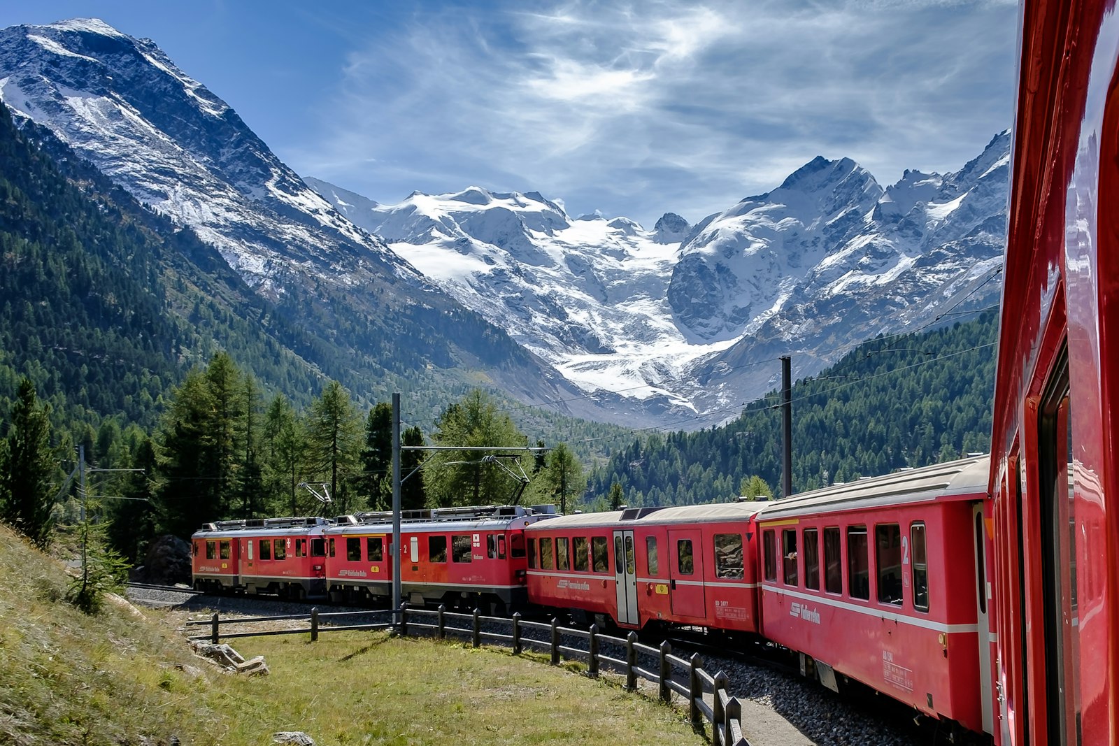
The Glacier Express runs between Zermatt and St Moritz and stops in Brig, meaning one of the world's most beautiful train journeys begins seven minutes from the chalet. The carriages have panoramic windows that curve up into the roof, and the route climbs over the Oberalp Pass to almost two thousand metres. You can ride the whole line or just the stretch to Zermatt or the Goms. Reservations are compulsory and worth making well ahead in high season. Even those who normally have no interest in trains will spend the whole day looking out of the window.
 Winter
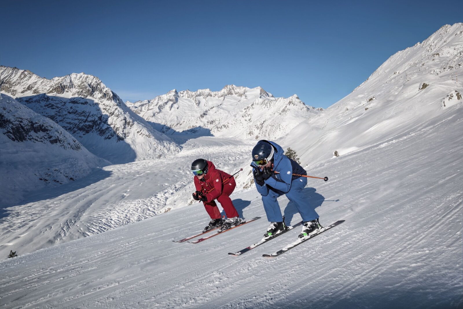
A single ski pass opens up the whole Aletsch Arena: 104 kilometres of piste plus fifteen kilometres of ski routes, served by thirty-five lifts between 1,845 and 2,869 metres. The three base villages, Riederalp, Bettmeralp and Fiescheralp, are linked by lifts, so you can start the day in one village and finish in another. Of the pistes, 42 kilometres are blue, fifty red and twelve black. All three villages are car-free and reachable only by cable car. From Ried-Brig you're at Mörel in a good quarter of an hour.
 Summer
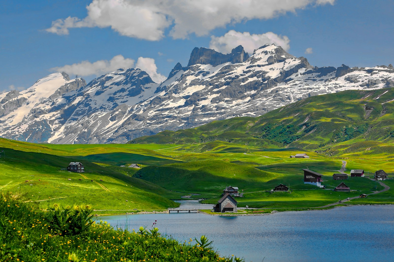
Villa Cassel is an early twentieth-century mansion standing at two thousand metres on the Riederfurka, now home to Pro Natura's nature centre. In 2026 it's open from 13 June to 18 October, with exhibitions on the glacier, the climate and alpine flora. Right next door begins the Aletsch Forest, a reserve of Arolla pines that are centuries old. The walk from Riederalp to the villa is short and level, manageable with children too. The view over the glacier from the terrace is among the finest in the region.
 Summer
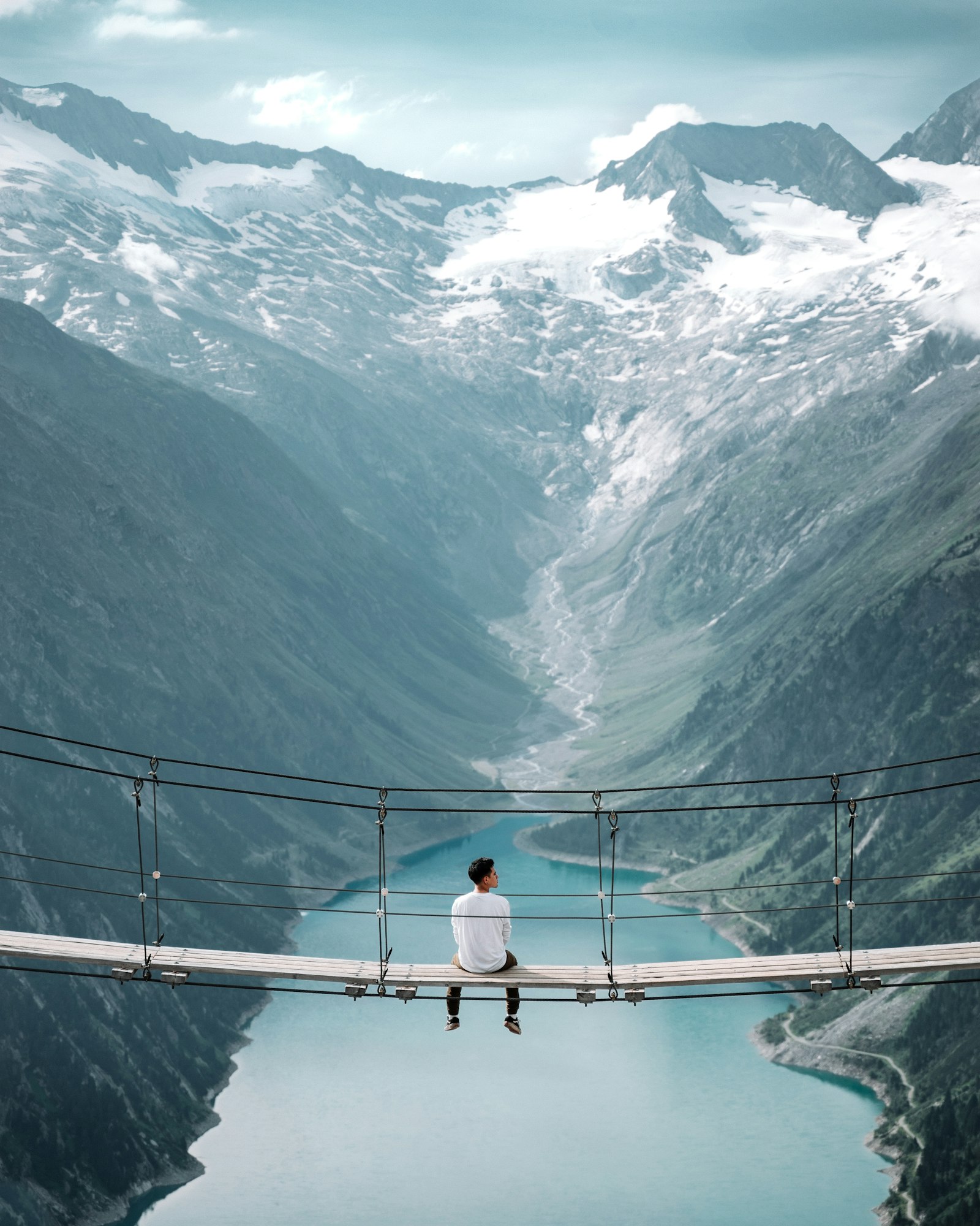
The suspension bridge over the Massa Gorge is 124 metres long and hangs eighty metres above the ravine, right where the meltwater of the Aletsch Glacier emerges from the mountain. Built in 2008, it links Riederalp with Belalp, making a day trip between the two areas possible. The walkway noticeably sways underfoot, turning the crossing into a small test of nerve. The walk there is demanding but well signposted. Anyone afraid of heights is better off watching from the side.
 Winter
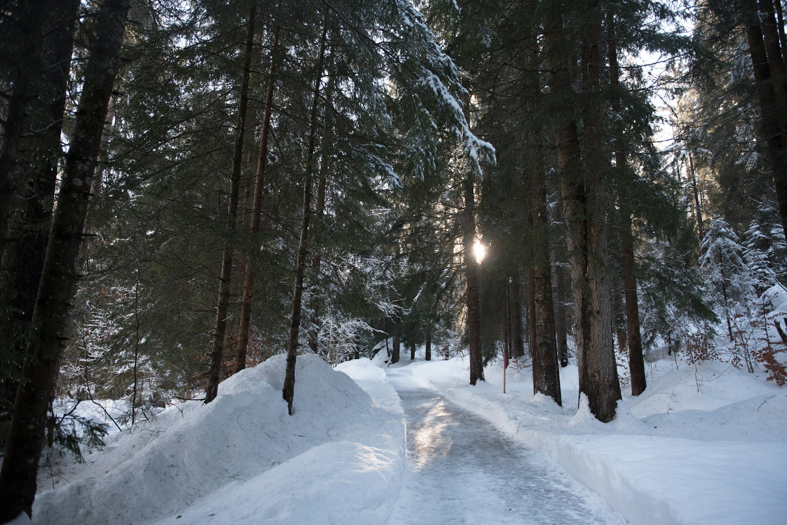
The Aletsch Arena maintains 72 kilometres of groomed winter walking trails and fourteen kilometres of snowshoe routes. The finest runs from Riederalp via the Riederfurka into the Aletsch Forest, where the old Arolla pines hang heavy with snow. The paths are rolled flat, so ordinary winter boots are enough and snowshoes aren't needed. Mountain huts along the way let you warm up indoors. For those who don't ski, this is the way to still spend a full day on the mountain.
 Winter
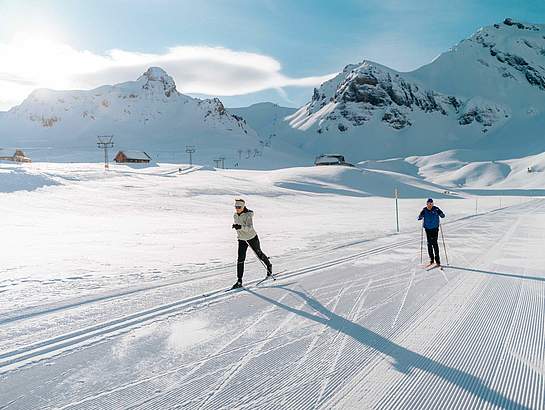
At Bux there's a free cross-country ski trail with both a classic and a skating track, each around a kilometre long, at just over two thousand metres. It's a short loop, so more of a practice circuit than a proper tour. That's exactly what makes it a good place to try cross-country skiing for the first time without buying a full day pass straight away. The altitude ensures reliable snow late into the season. Equipment can be hired in the villages.
 Summer
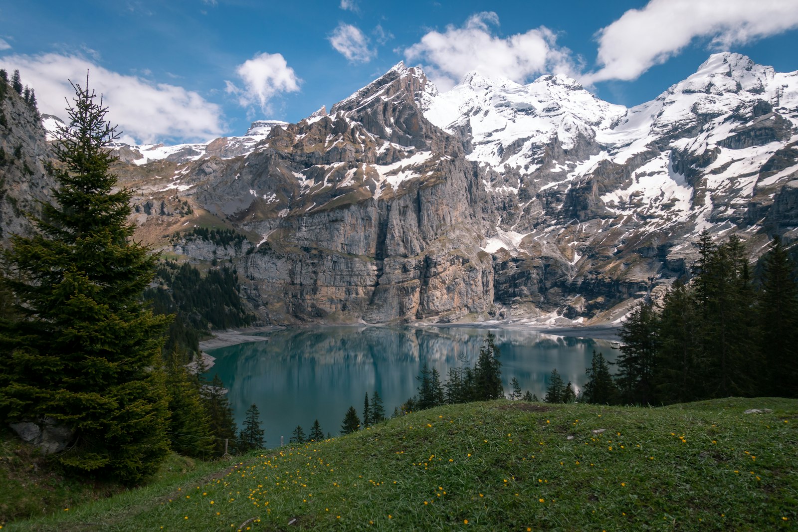
The Blausee is the small mountain lake between Riederalp and Bettmeralp, with a wooden jetty where you can sit with your feet in the water. The lake is too small and too cold for a proper swim, but just right for a break halfway through a walk. Alpine meadows surround it, full of flowers in June and July. The chairlift from Bettmeralp sets you down almost right beside it. On a still morning the glacier wall is mirrored in its surface.
 Summer
At two thousand metres lies a nine-hole golf course looking out over the Rhône valley and the mountains beyond. The altitude does something to the ball: it flies noticeably further than you're used to, making the first few holes an education in themselves. The course is short and hilly, suiting players who don't play every day. Clubs can be hired on site. Even non-golfers enjoy walking the round for the view alone.
 Winter
Around forty-five kilometres of piste between 1,322 and 3,112 metres, served by ten or eleven lifts. The highest point is the Hohstock, where the slopes locally reach sixty per cent gradient and where freeriders gather. Lower down lie broad red runs with clear views of the Aletsch Glacier, something few ski areas offer. For children there's the Hexenland practice area with a carpet lift. You park at Blatten and ride up in four minutes on the eighty-person cable car.
 Winter
Since 1983, more than fifteen hundred participants in witch costume have descended from the Hohstock to Blatten every January: twelve kilometres and around 1,800 metres of descent. It's not a competition for specialists but a village-wide festival that draws the whole valley in, complete with broomsticks, green faces and music along the way. Spectators gather along the piste and in the village. The next edition is planned for January 2027. Guests can also sign up, but early booking is advised.
 Winter
The toboggan run from Belalp to Blatten measures seven to almost ten kilometres and covers 767 metres of descent. Toboggans can be hired at the top from around CHF 14, so all you need is warm clothing. The run passes largely through open terrain with views, making it more pleasant than a toboggan run that stays buried in forest. Halfway down you can stop at a mountain hut. You return to the top on the same cable car used by skiers.
 Summer
The Hexenkessel rope park lies in the larch forest near Blatten and has courses at various heights, from low to the ground for children to lines that hang well above the treetops. Its showpiece is a two-hundred-metre zip line. Equipment and instruction are included, and staff are always on hand at the start of each course. Allow two to three hours for a full visit. The park sits right by the valley station, so you don't even need to take the cable car to reach it.
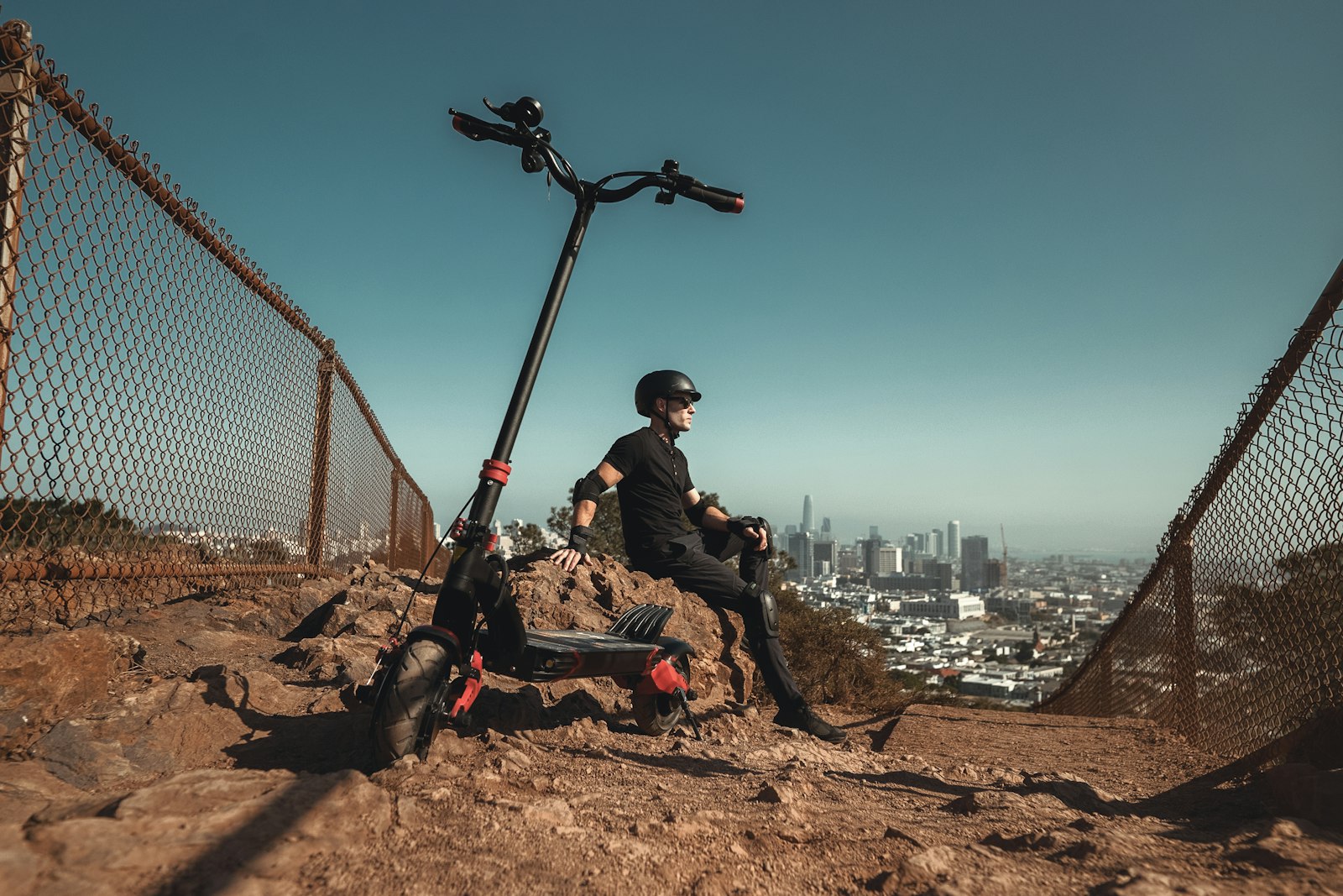 Summer
On a Trotti-Bike, a kind of heavy-duty scooter with fat tyres and strong brakes, you roll eight kilometres from Belalp back down to Blatten. The descent takes around an hour and a half if you stop to look along the way, and costs CHF 10 per ride. You don't pedal, only steer and brake, so it suits anyone from around ten years old. The road is surfaced and wide. Along the way you have an almost constant view of the mountains on the other side of the Rhône valley.
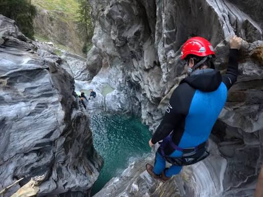 Summer
The Massa Gorge carries meltwater from the Aletsch Glacier and is one of the coldest and most dramatic gorges in Valais as a result. Under guidance you descend it with a thirty-metre abseil and an eight-metre jump into a glacial pool. Wetsuit, helmet and equipment are provided; you do need to be able to swim. It's a half-day outing and certainly no gentle stroll, but not an extreme sport for experts either. Booking runs through the Belalp cable car.
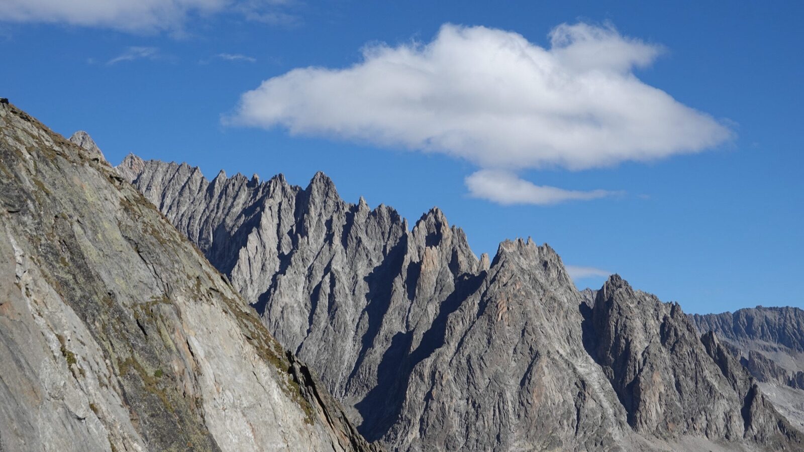 Summer
At 3,021 metres, the Sparrhorn is a three-thousand-metre peak you can climb without rope or glacier equipment, which is rare in the Alps. The route starts at Belalp's mountain station and climbs a signposted mountain path to the summit in around three hours. At the top you look straight along the Great Aletsch Glacier, with the 4,194-metre Aletschhorn directly opposite. The final stretch is steep and rocky, so sturdy boots are not a luxury. For many guests this is the walk they talk about longest afterwards.
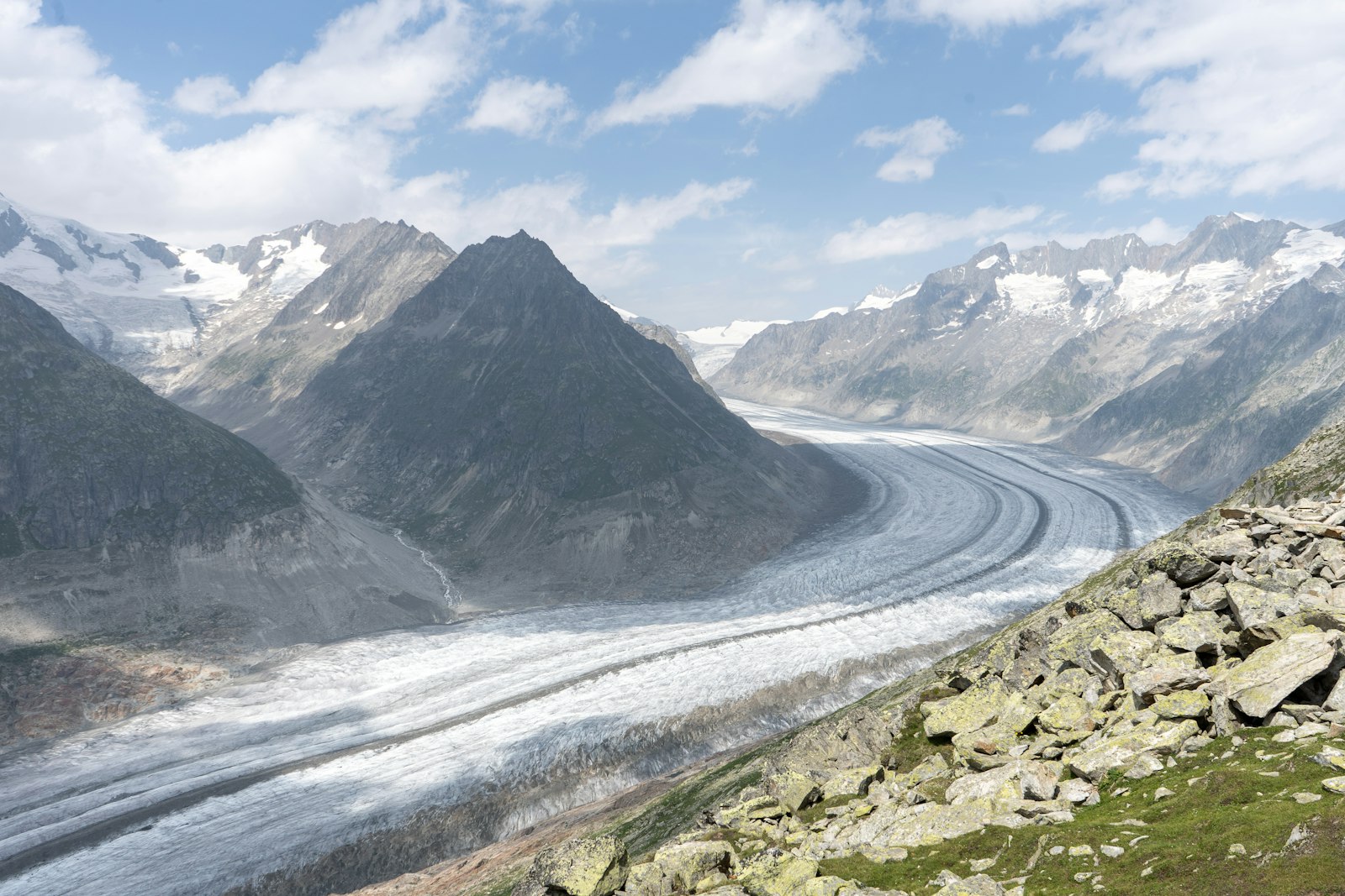 Year-round
The gondola, built in 1995, carries you from Bettmeralp to the mountain station at 2,647 metres, where a viewing platform hangs directly above the Aletsch Glacier. You look out over more than twenty kilometres of ice that has been on the UNESCO World Heritage list since 2001. Those who climb on for another half hour reach the true summit at 2,872 metres, with views there of the Matterhorn, Dom and Weisshorn. The restaurant at the station has a terrace on the same side. Accessible in both winter and summer.
 Year-round
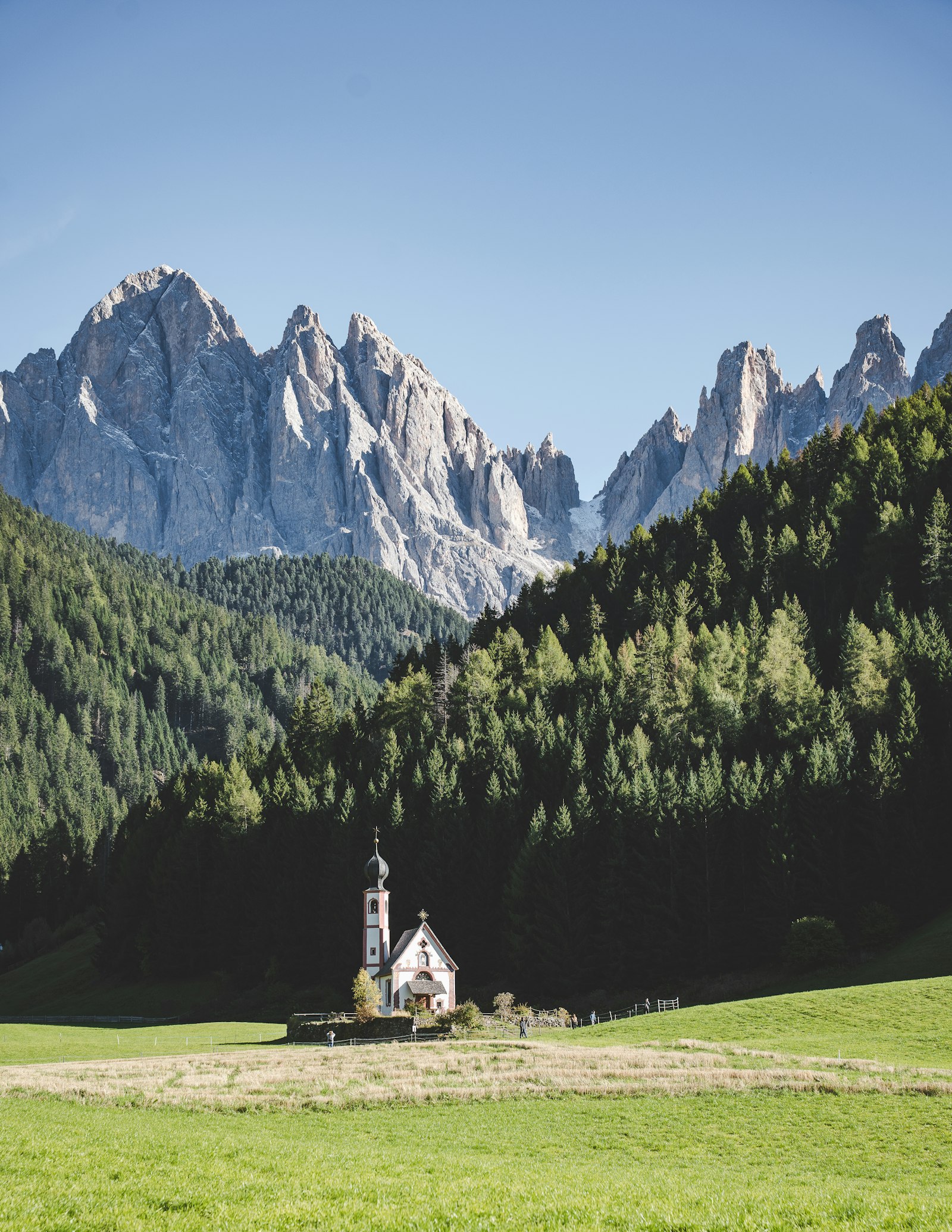
The white Maria zum Schnee chapel stands at the heart of the car-free village and is the image everyone associates with Bettmeralp from every postcard. In winter the snow reaches its door with skiers gliding right past; in summer the meadow around it is full of flowers. The chapel is open during the day and simple and small inside. Services are still held there. It's the place where everyone pauses for a moment, even those who don't normally visit churches.
 Winter
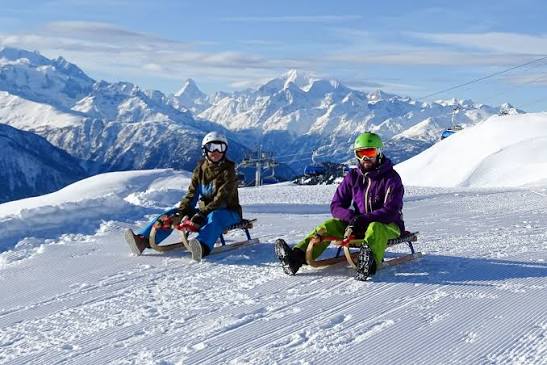
The toboggan run from the Moosfluh to Bettmeralp measures 2.7 kilometres with 319 metres of descent and takes around a quarter of an hour. It's a short, brisk run well suited to several rides in a row. The Aletsch Arena sells a separate toboggan pass for it from around CHF 36. There's a second, shorter run at the Gopplerlücke. Toboggans are hired in the village, and since everything is car-free, you simply walk from your accommodation to the lift.
 Summer
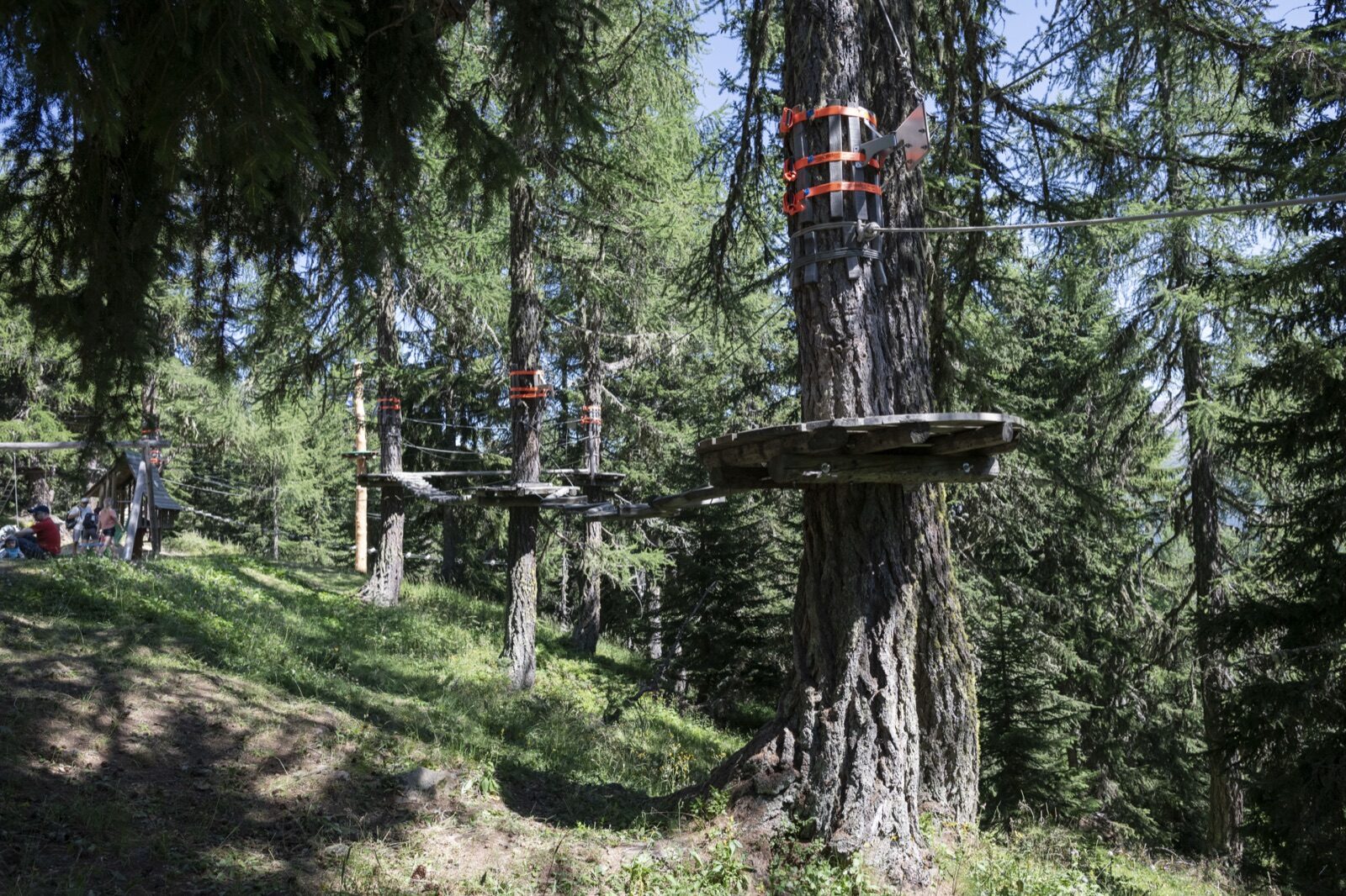
At almost two thousand metres, Baschweri is Switzerland's highest-altitude rope course. There are six courses of increasing difficulty plus a two-hundred-metre zip line, and children can join the lowest circuit from age four. The park lies in the forest just outside the village, within walking distance of the cable car. Instruction and equipment are included in the price. Allow half a day, longer if the children are enjoying themselves.
 Summer
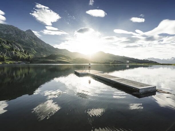
The Bettmersee is a 5.5-hectare alpine lake at 2,006 metres where you can genuinely swim, rare at this altitude. In summer the water warms enough to stay in for more than a minute, though it remains cool. A flat walking path of around two kilometres circles it, manageable even with a pushchair. There are lawns and a small beach. In winter, the cross-country ski trail runs across the very same spot.
 Summer
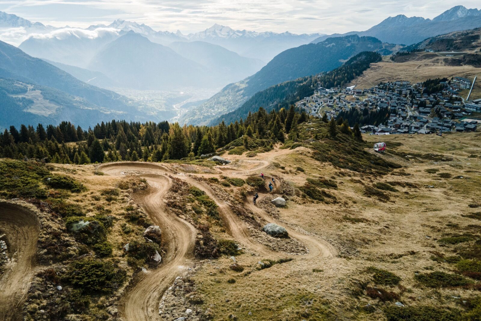
The Wurzenbord flow trail is Bettmeralp's mountain-bike descent: a purpose-built singletrack with bends and small jumps that flows smoothly downhill. It's built for rolling down, not climbing, so you take the lift up. The level suits anyone who has ridden a mountain bike before, without needing to be a downhill specialist. The cable cars take bikes. Equipment can be hired in the village.
 Summer
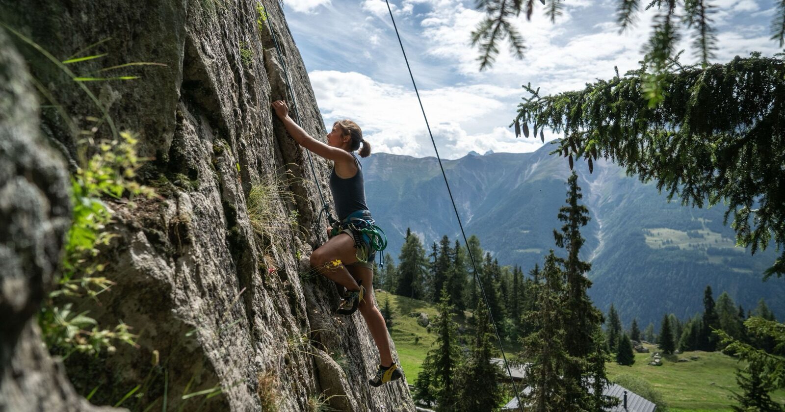
Below the Bettmerhorn, at the Hohbalm, lies a climbing area with more than thirty bolted routes across a range of difficulties. At the Bettmersee there are another fifteen routes, and eighteen more at the Adler, so there's enough for a full week. The rock is compact granite and approach times are short. You climb here with the glacier in view the whole time, making it one of the more beautifully situated climbing areas in Valais. Bring your own gear or book a guide through the Arena.
 Winter
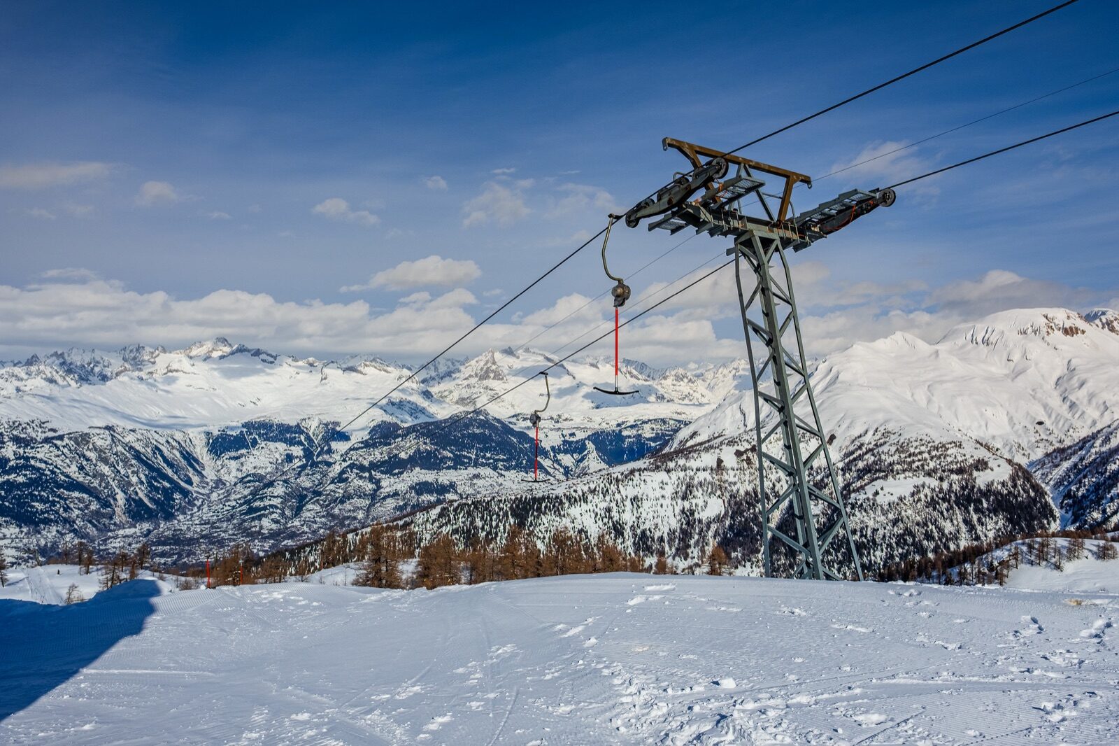
Twenty-five kilometres of piste, two drag lifts and a children's lift, that's all there is, and that's exactly its charm. You drive right up to the slope, there's no cable car and no queue, and a day pass costs around CHF 44. The split is twenty per cent easy, sixty per cent intermediate and twenty per cent difficult. The season runs roughly from late December to the end of March. For an afternoon of skiing without any fuss, this is the closest alternative to the big resorts.
 Winter
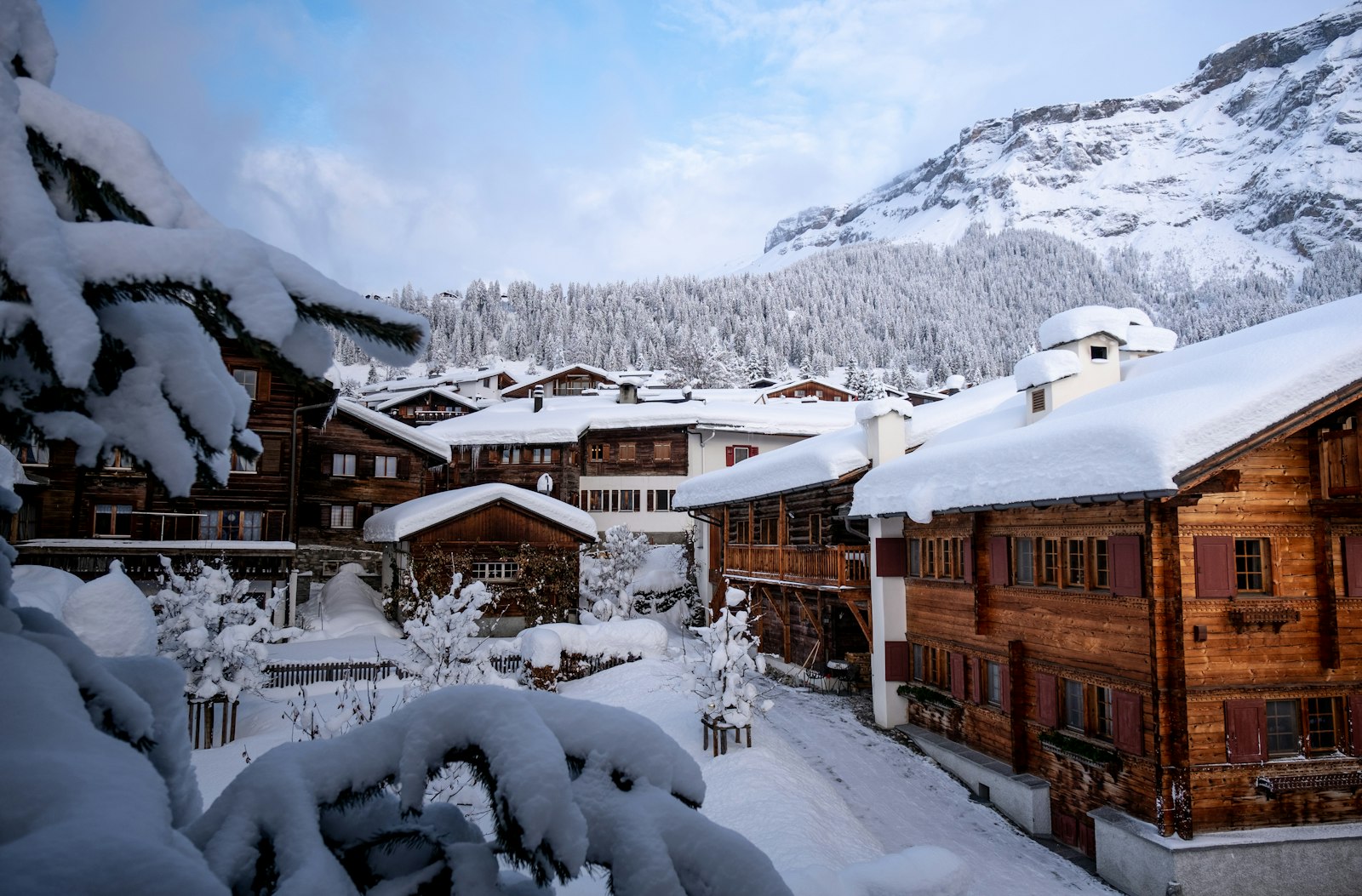
Rothwald is known locally as a freeride area: the terrain beside the piste is broad, open and ridden so rarely that you can still find fresh tracks days after a snowfall. There's no built infrastructure, just the two drag lifts that drop you at the start. That also means you're responsible for your own avalanche gear and judgement. Berggasthaus Wasenalp organises guided tours and courses for those who want to learn it properly. If in doubt: get a guide first, then head into the trees.
 Winter
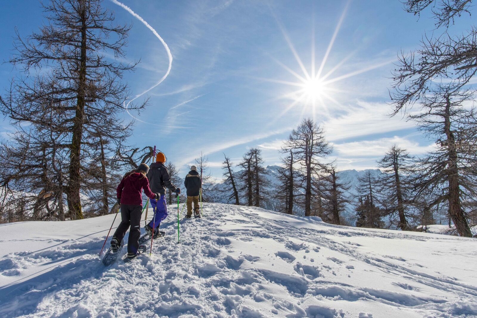
A signposted snowshoe route of 6.26 kilometres that climbs from 1,752 to 2,223 metres and takes around three hours. What makes it special is what it passes through: the larch forest of Rothwald is said to be the highest-altitude in Europe. In winter the trees stand bare and black against the snow, giving quite a different picture from a pine forest. The route is well marked but does involve serious altitude gain. Set off early enough to be back before dark.
 Summer
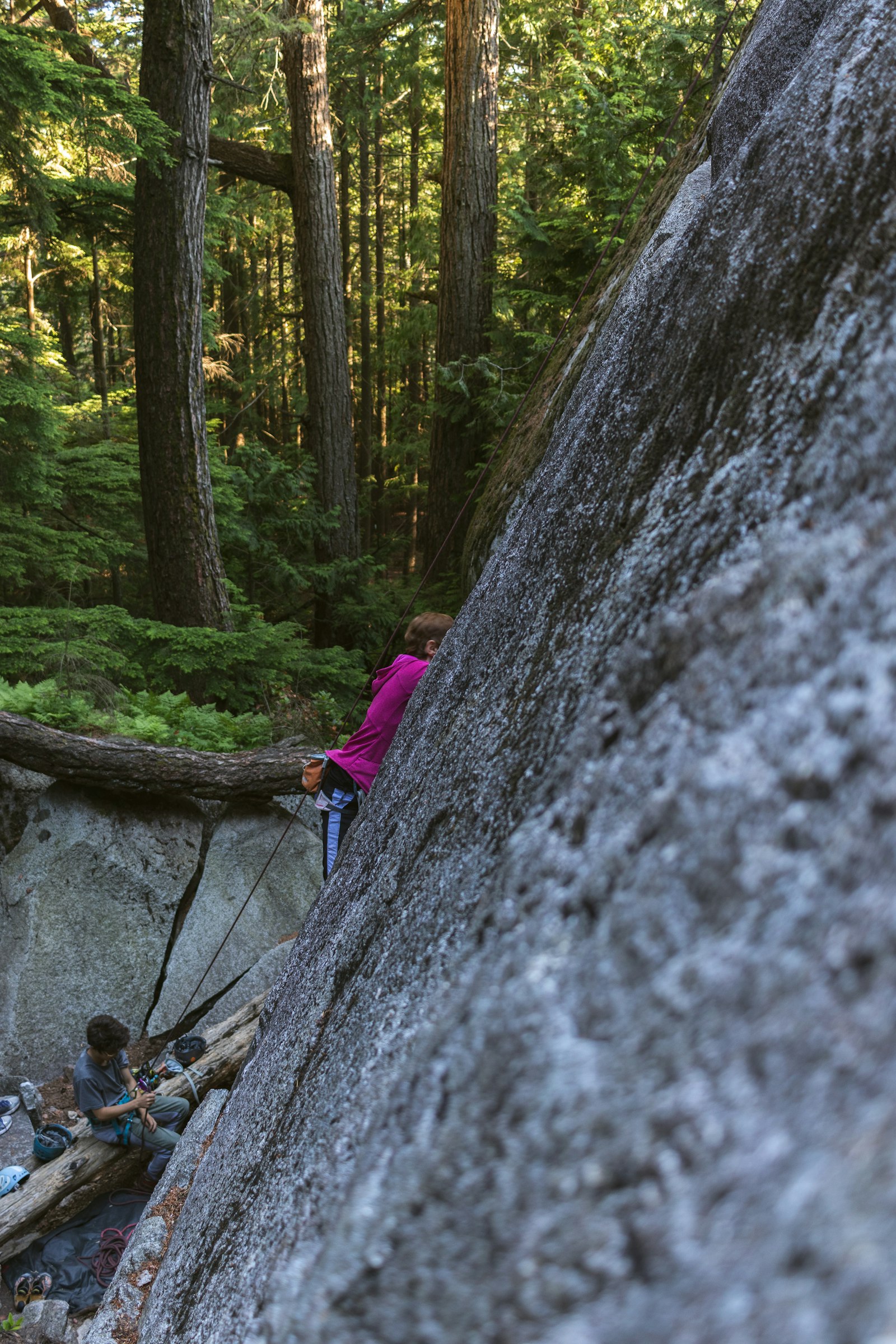
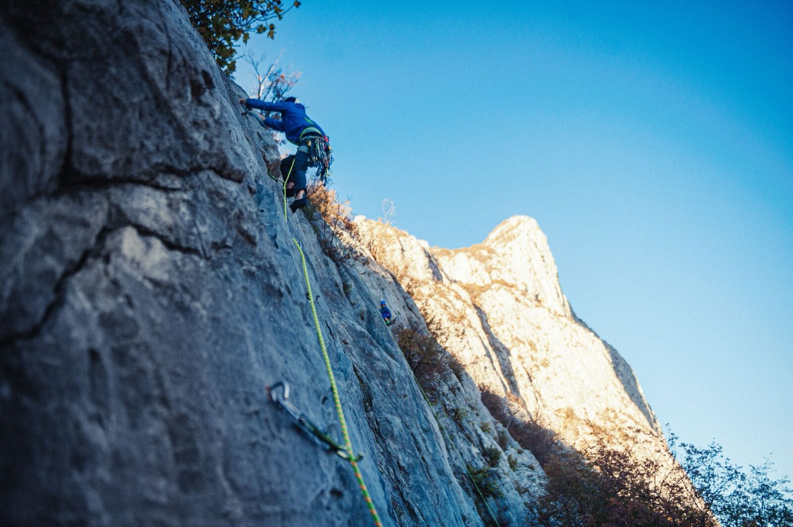
Just above Berggasthaus Wasenalp, at 1,960 metres, lies a rock face set up for guided climbing and abseiling. No prior experience is needed: you're given equipment, instruction and guidance, then head up the wall yourself. A session lasts four to six hours and costs from around CHF 650 for a group, making it well suited to families or groups of friends together. The season runs from June to November. Book directly with the Berggasthaus.
 Summer
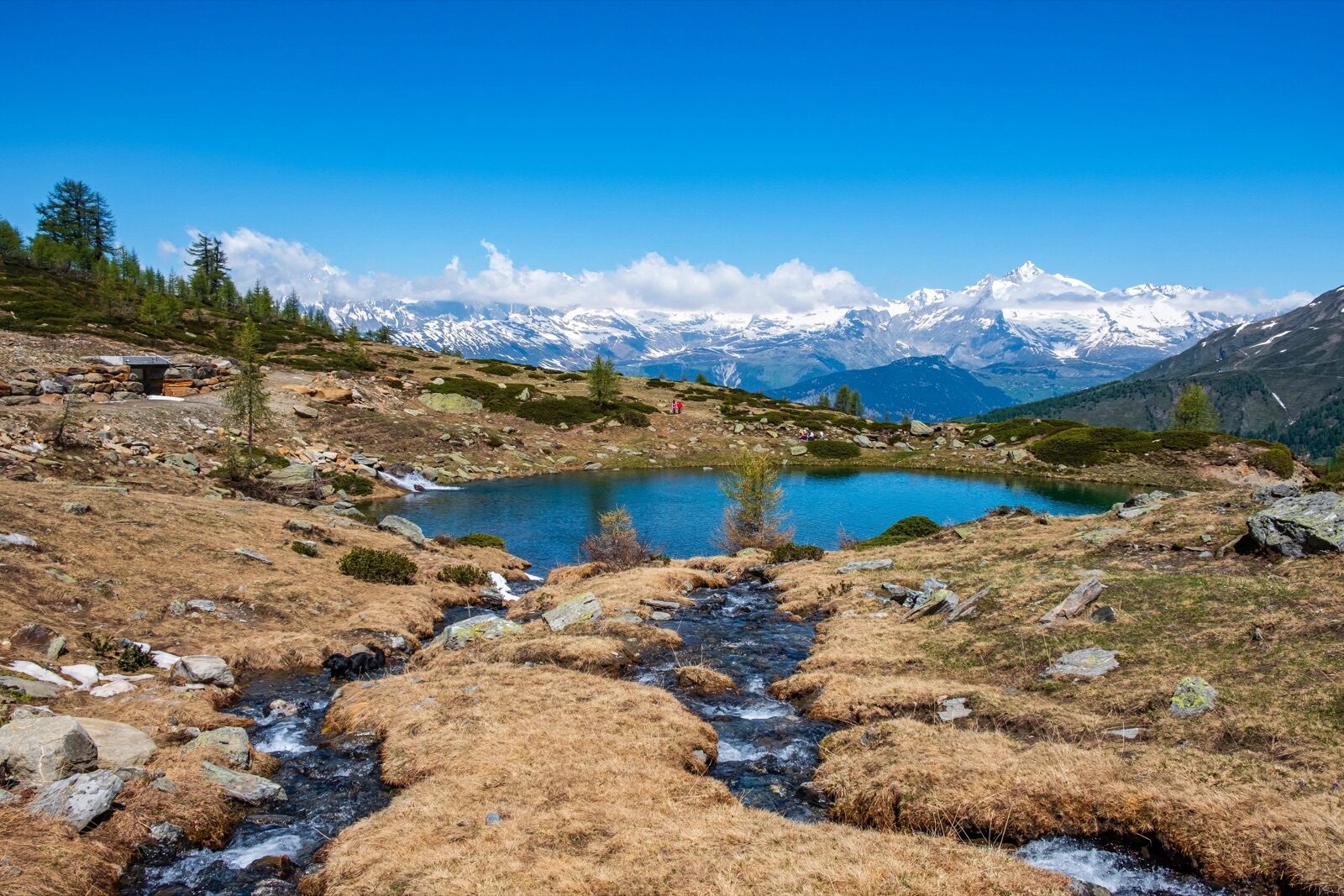
A mountain path leads from Berggasthaus Wasenalp to the Wasmerseeli, a small mountain lake set in a hollow beneath the peaks. The walk is short enough for half a day and passes through alpine meadows where the flowers are at their peak in July. Those wanting more can continue on the Alpenpassenweg towards Rosswald and the Simplon Pass. The reward afterwards awaits on the terrace of the Berggasthaus. The area is so peaceful that you're more likely to hear marmots than people along the way.
 Year-round
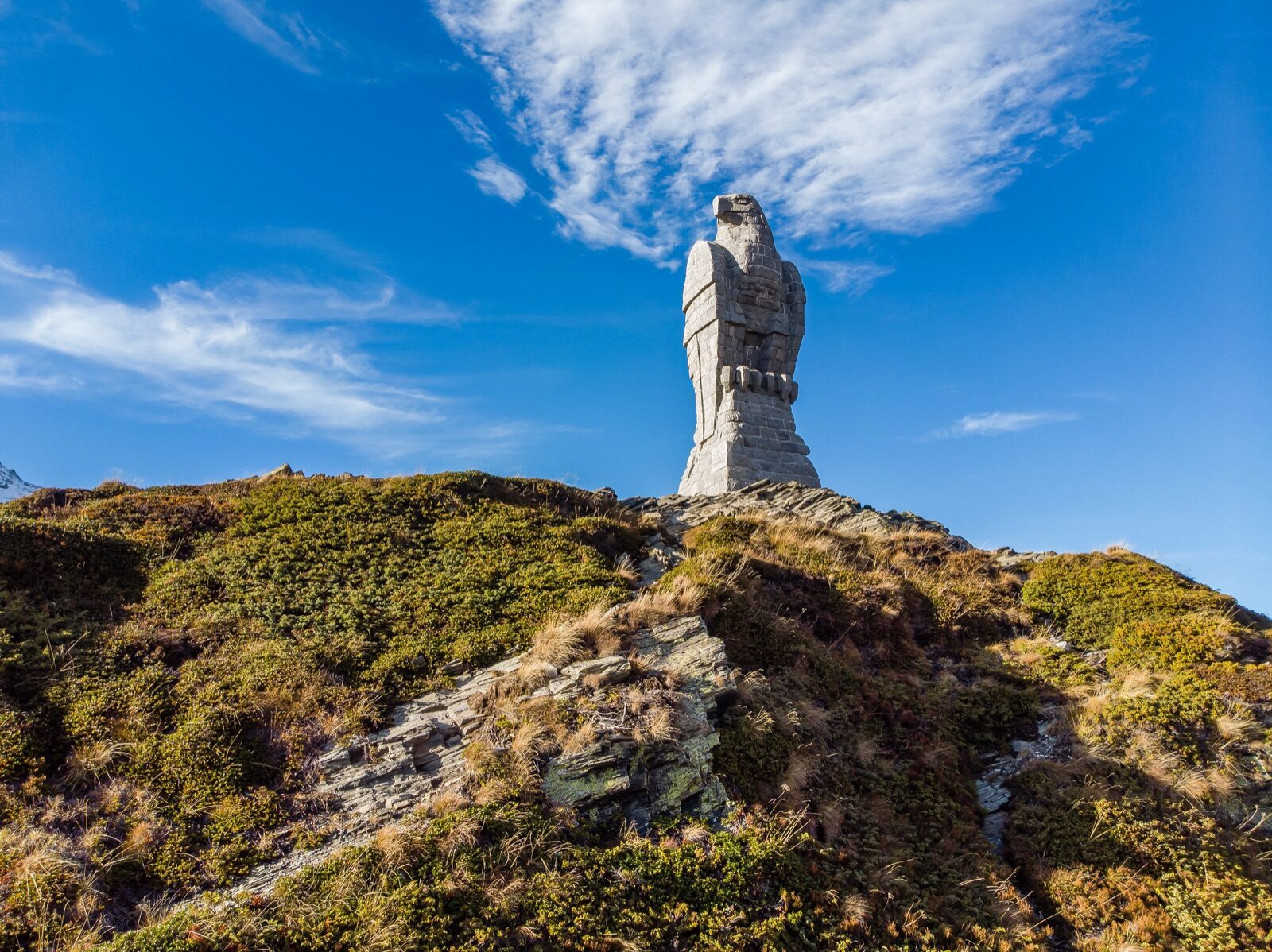
At the top of the pass, 2,005 metres up, stands a nine-metre-high eagle carved from stone as a symbol of vigilance. It commemorates the Wacht am Simplon, the guarding of the pass during the Second World War when Switzerland kept its borders defended. You can drive right up to it and walk around. It's the image that stays with everyone who has ever driven this road. In winter it stands black against the snowy plateau, in summer against a blue sky.
 Winter
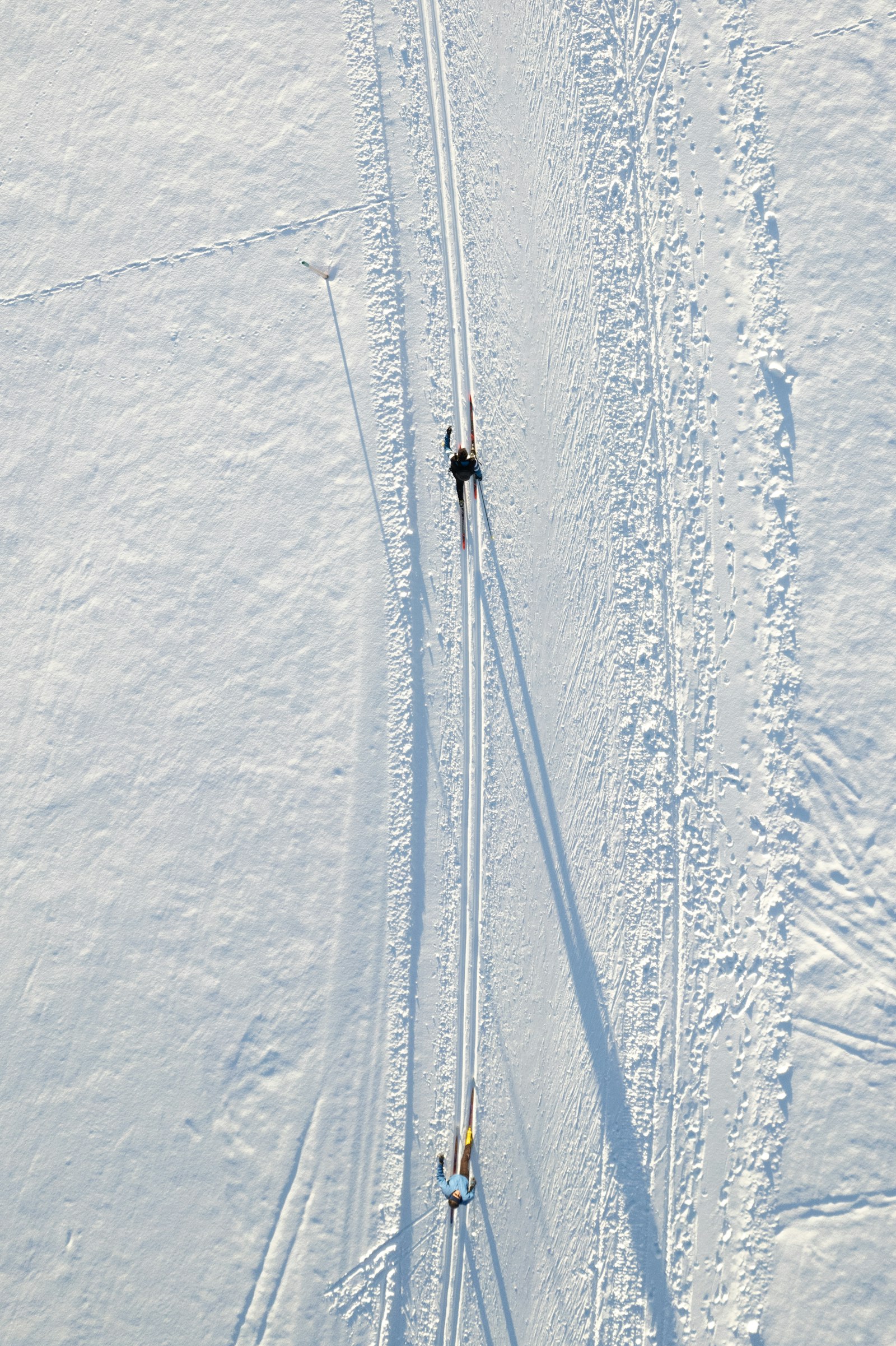
A trail of around 1.8 kilometres runs from the Spittelmatte past the Barralhaus to the old hospice, with separate tracks for classic and skating style. A day pass costs CHF 5, a season pass CHF 50, making it one of the cheapest ways to try cross-country skiing. At nearly two thousand metres the snow is reliable and the air clear. The trail is flat and short, making it excellent for beginners. Equipment can be hired in Brig.
 Winter
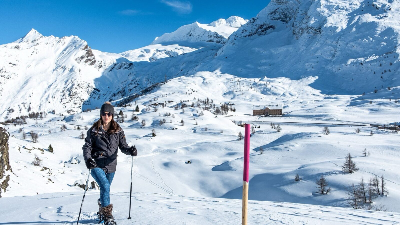
A signposted snowshoe route of 3.85 kilometres with 178 metres of ascent, taking around two hours and rated easy. There's also a weekly-groomed five-kilometre winter walking trail for those who'd rather just walk. The pass plateau is open and wide, so you have views all around the whole time, quite unlike a walk through forest. It's also noticeably windier up here, so dress warmly. Both routes start at the car parks on the pass.
 Summer
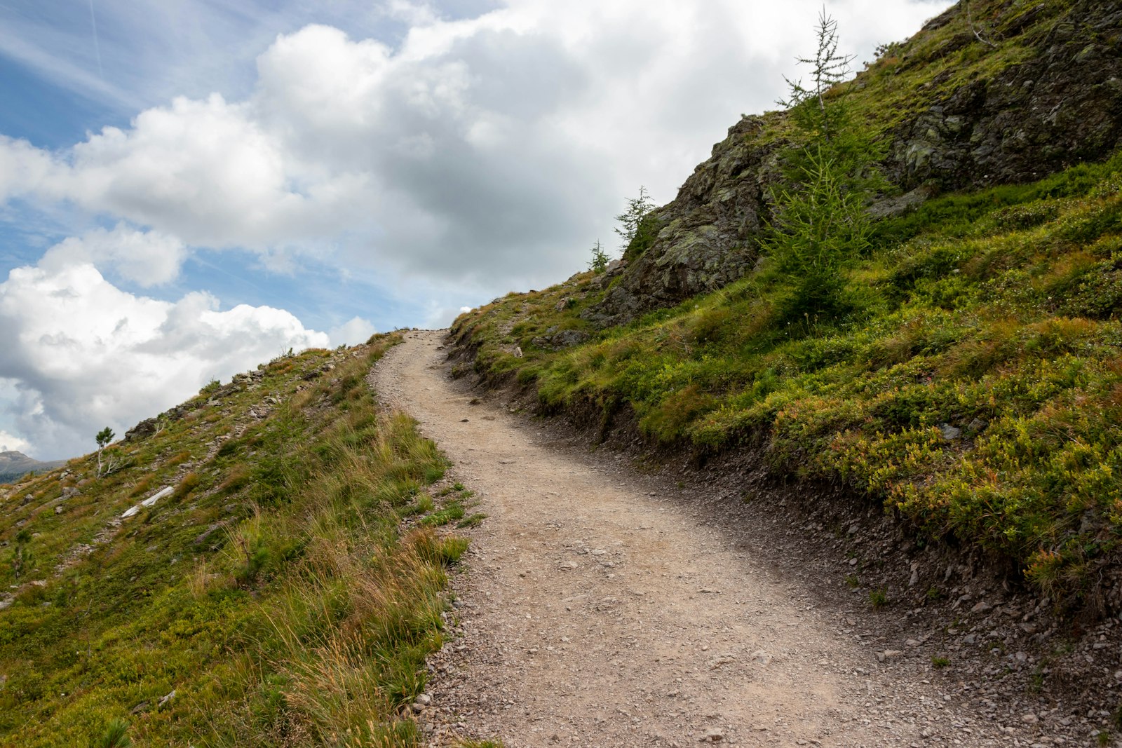
The Stockalperweg is the old mule track along which Kaspar Stockalper had salt and goods carried from Italy to the north in the seventeenth century. The section near the top of the pass measures 9.26 kilometres with 525 metres of ascent and takes around two and a half hours. Along the way you pass the Simplon Hospice and old waymarkers that have stood there for centuries. The path is well signposted and not technical. Those wanting to walk the whole route can continue it in stages all the way to Gondo.
 Summer
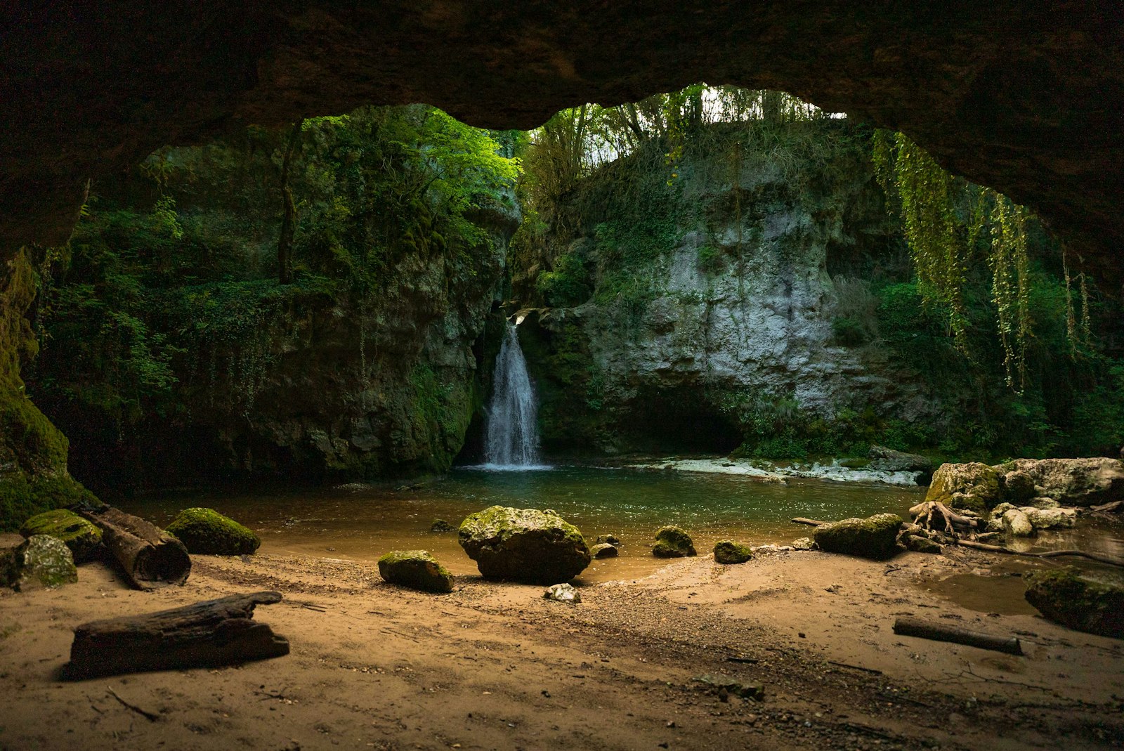
On the south side of the pass, the Gondo Gorge cuts deep into the rock, with the road running partly through tunnels and across galleries. In the village of Gondo lies a Second World War infantry fort, whose 350-metre connecting tunnel now forms part of the Stockalperweg. On Saturdays from June to October there are ninety-minute guided tours for CHF 10, paid in cash and conducted in German. The drive there is worth it on its own. Italy lies just across the border, with coffee to match.
 Summer
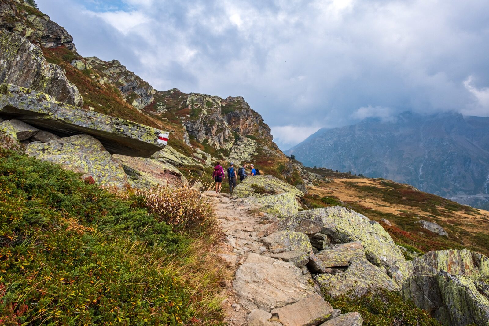
A mountain walk of 7.75 kilometres with 507 metres of ascent, taking around three hours and starting practically at the car park. The Staldhorn itself can be reached from the pass in a good hour, after which the route continues over open slopes. On one side you look into Valais, on the other towards Italy. The path is signposted but narrow in places. Those wanting more can take the Glishorn high-altitude route, seventeen kilometres with over two thousand metres of ascent.
 Year-round
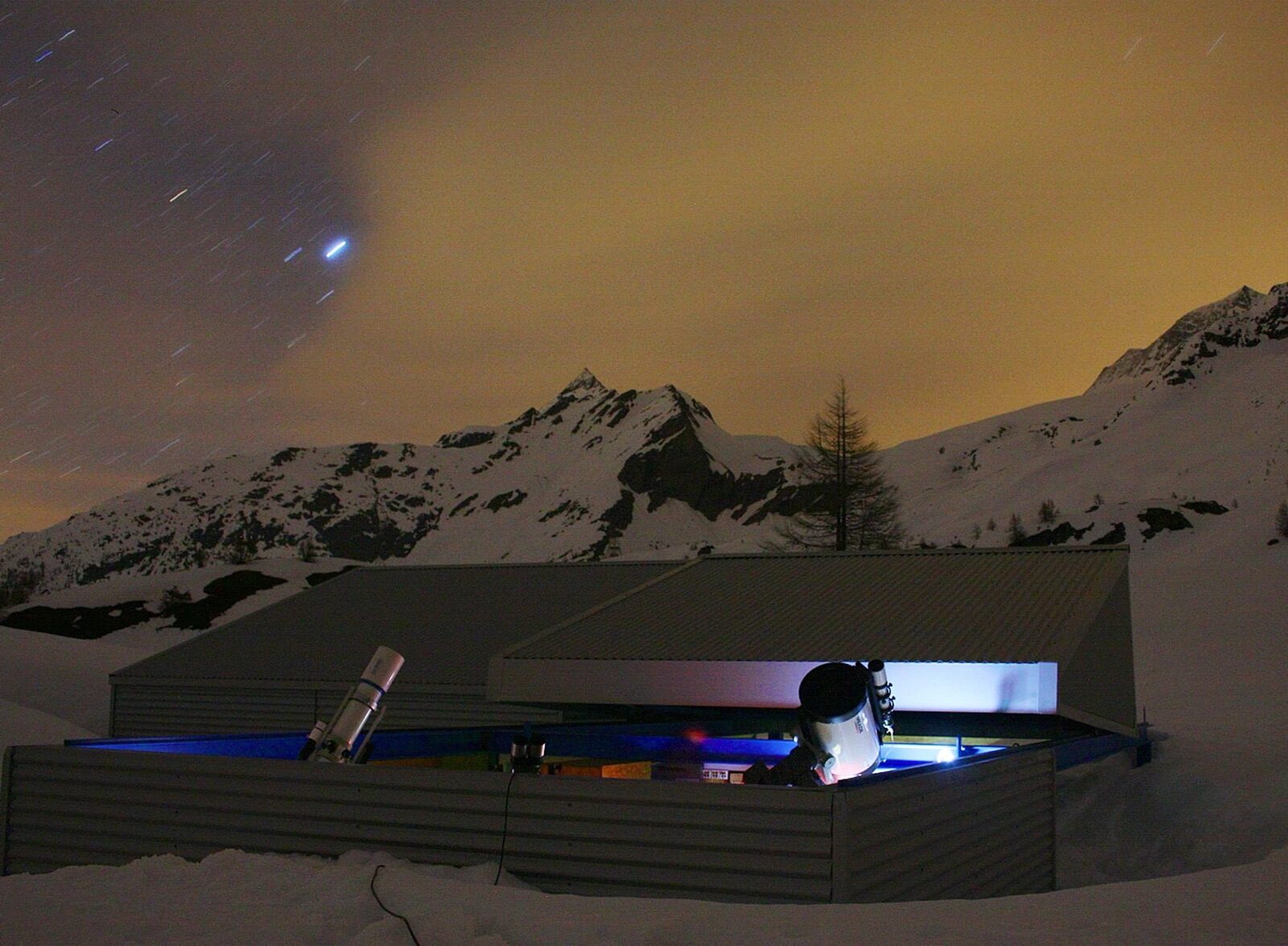
In Simplon Dorf, ten minutes past the top of the pass, the old inn has been converted into an Ecomuseum about life along the pass route. You see how the mule trade worked, how the community got through winters, and what building the Simplon road, and later the tunnel, changed. In the same village stands the observatory of the Oberwallis astronomical society, where observations are held on clear evenings. At this altitude and with so little light pollution, the night sky is exceptional. Both are small-scale and pleasantly unhurried.
 Winter
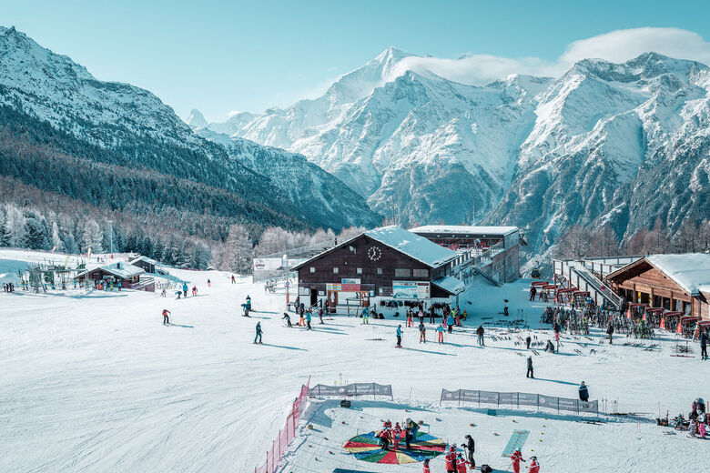
Over twenty kilometres of piste between 1,340 and 2,309 metres, served by five lifts including a chairlift. The area faces south and is markedly sunny as a result, with plenty of red runs and little crowding. The season runs from mid-December to the end of March, daily from nine to half past four. You drive right into the village at the valley station, no cable car needed beforehand. From the pistes, on a clear day, you see the Dom, the Matterhorn and the Weisshorn all at once.
 Winter
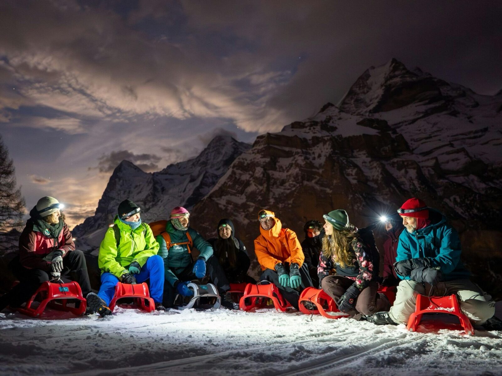
The toboggan run covers seven kilometres from Giw, at 1,976 metres, back down to the village at 1,340 metres. What makes it special is the fixed Friday evening: the lift stays open later, fondue is served at the top, and you then descend in the dark by lamplight. Toboggans can be hired on site. For families, it's the outing children remember longest. Booking ahead for the fondue is advisable, as places are limited.
 Winter
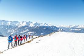
Visperterminen maintains four groomed winter walking routes, of which the Panoramaweg is the best. It runs above two thousand metres across a sunny slope and takes around two and a half to three hours. Along the way the Dom, Matterhorn, Weisshorn and Bietschhorn all come into view together, a combination you won't get anywhere else this close to the chalet. The path is rolled flat, so ordinary winter boots are enough. Bring binoculars.
 Summer
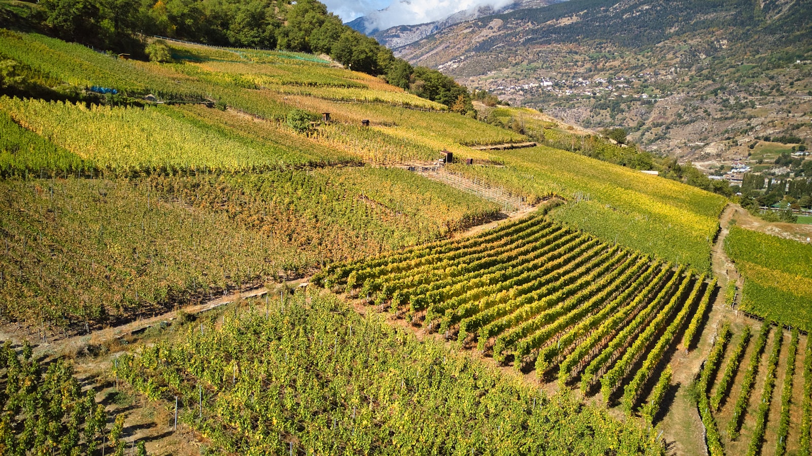
The Reblehrpfad climbs 7.8 kilometres and 771 metres from Visp to Visperterminen, straight through Europe's highest continuous vineyard. The terraces range from 650 to 1,150 metres and are still worked by hand. Information boards along the way explain how the Heida grape, known elsewhere as Savagnin Blanc, has grown here for centuries. Allow around two and a half hours going up; you can take the bus back down. At the top, the St. Jodernkellerei awaits for a tasting.
 Summer
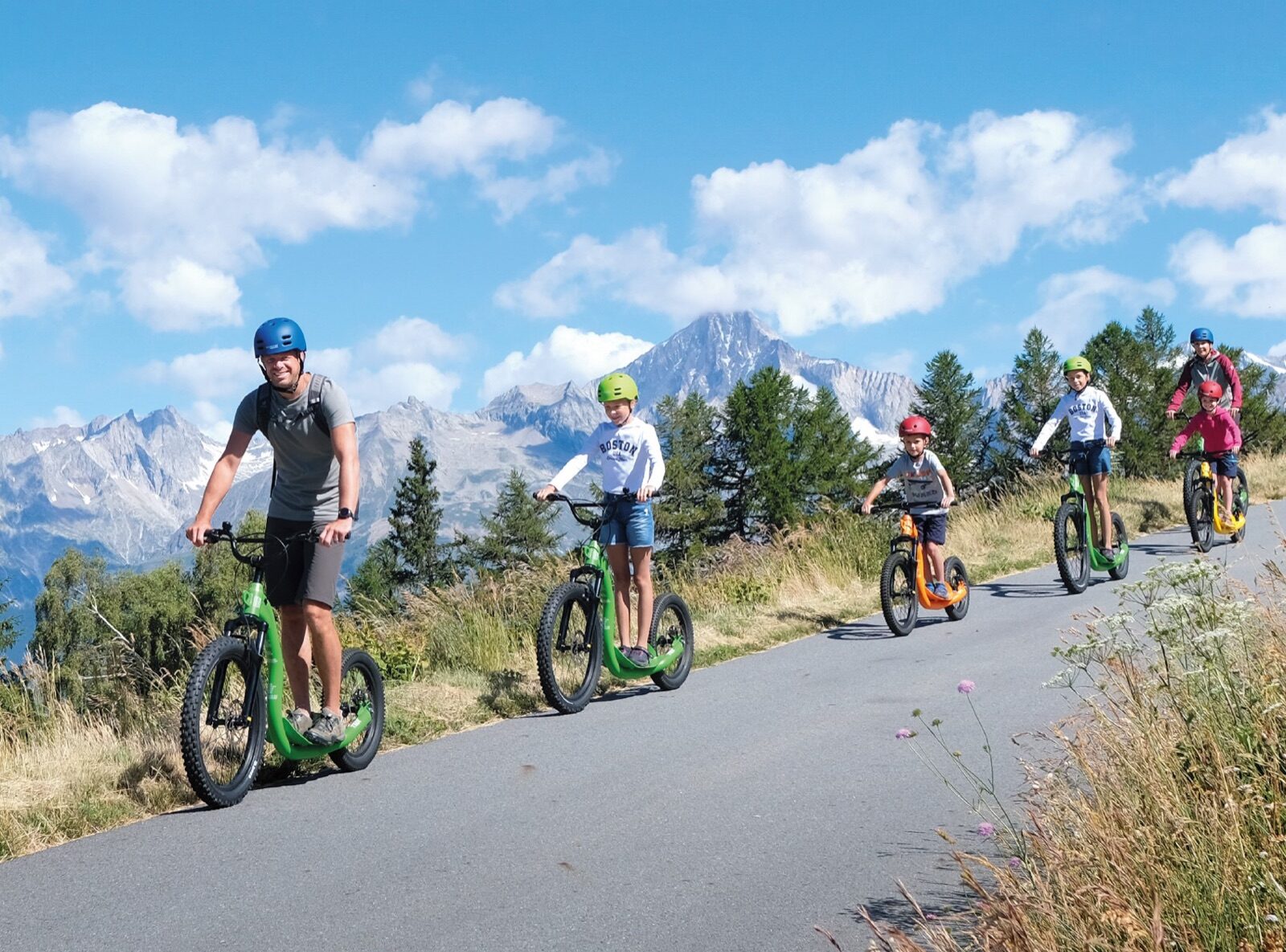
From the Giw mountain station, a scooter descent of seven kilometres runs down to the village, for CHF 12 per ride. At the top you're handed a scooter with strong brakes and roll down the alpine road without pedalling once. In 2026 it runs from mid-June to mid-October. Children from around ten can ride independently. Several runs in a row are common, since the lift simply takes you back up again.
 Year-round
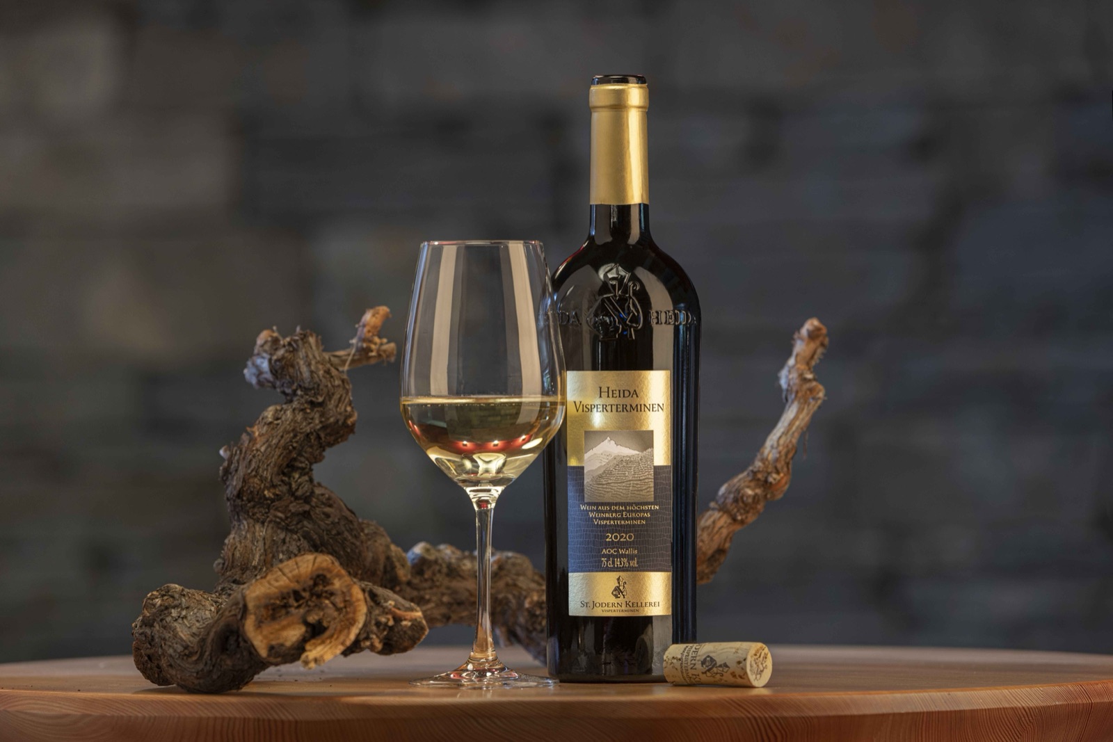
The St. Jodernkellerei is a cooperative of more than five hundred wine growers producing over four hundred thousand bottles a year. Its flagship is the Heida Veritas, made from vines that survived the nineteenth-century phylloxera outbreak and so still grow on their own roots. There's also the crisp Heida Melodie and an oak-aged barrique. Tastings are available all year round. For anyone wanting to take home something that truly comes from this region, this is the place to buy it.
 Summer
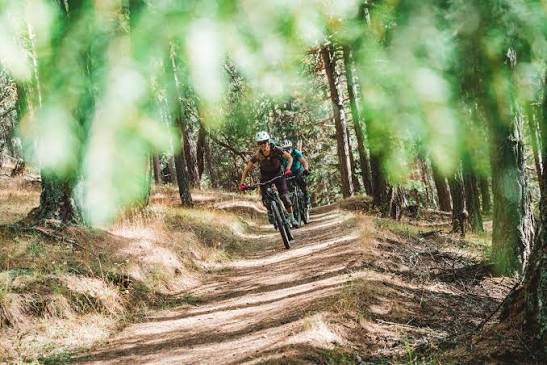
The Giw Enduro is the area's serious descent, with twelve hundred metres of downhill from the mountain station. Those wanting it gentler can stick to the Heida Loop of around two and a half hours, or the Bodmer Loop. The routes run over alpine roads and narrow paths through the vineyard terraces, with plenty of variation underfoot. The chairlift takes bikes. It's one of the few places where you can start a descent among the vines and finish with a glass of the very same grape.
 Year-round
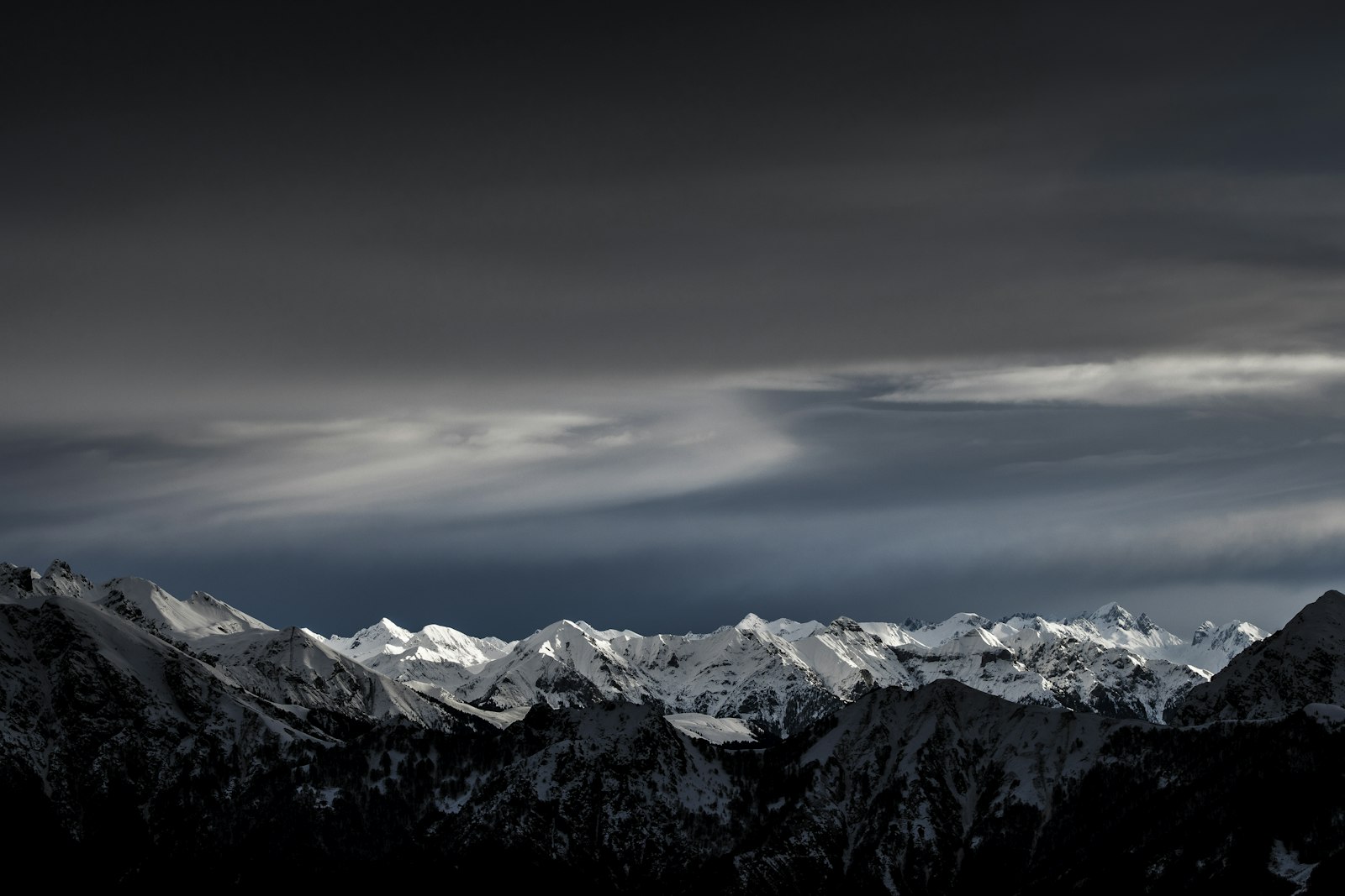
From Fiescheralp a cable car takes you to the mountain station at 2,869 metres; a short walk continues to the true summit at 2,926 metres. From there the Aletsch Glacier stretches out before you in its full length: twenty kilometres of ice, up to eight hundred metres thick at the Konkordiaplatz, with the Jungfraujoch on the horizon. Forty four-thousand-metre peaks are in view. No other viewpoint in the region comes close. Worth knowing: the cable car is being replaced, with reopening planned for December 2028.
 Summer
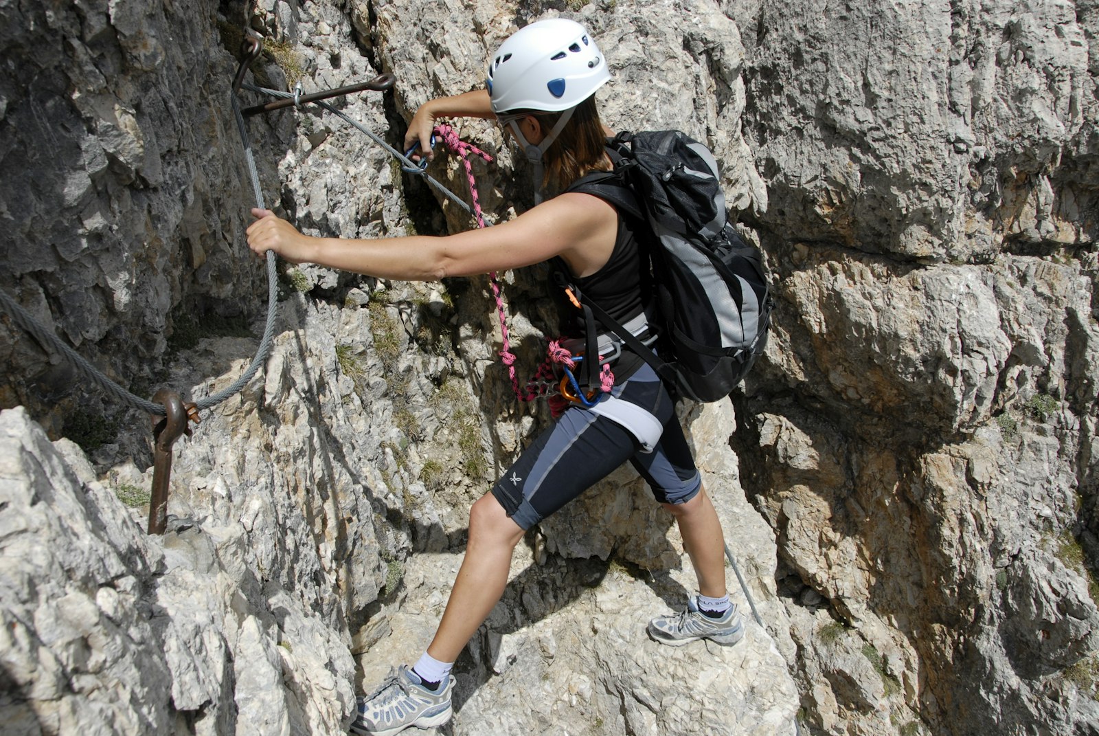
The via ferrata on the Eggishorn measures 1.4 kilometres with 145 metres of ascent and is graded K2 to K3, meaning moderately difficult. You're clipped to a steel cable with intermediate anchors the whole way, climbing iron rungs up the rock face with the glacier constantly below you. Allow around three hours. A set with helmet, harness and clamps is compulsory and can be hired in the area. A guide is strongly recommended for anyone doing it for the first time.
 Summer
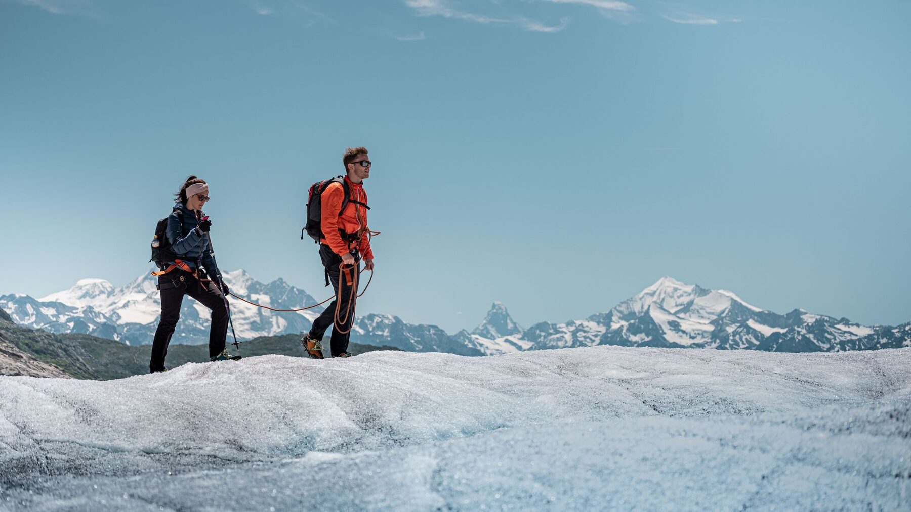
From June to October, guided treks across the Great Aletsch Glacier are offered, lasting one to two days and from around CHF 99. Roped up with crampons, you walk across the ice past crevasses and meltwater streams, a landscape you simply can't take in from a viewpoint. A guide is compulsory, since the glacier is nowhere passable without one. On the two-day version you overnight in a mountain hut. This is the most immersive experience the Aletsch Arena has to offer.
 Summer
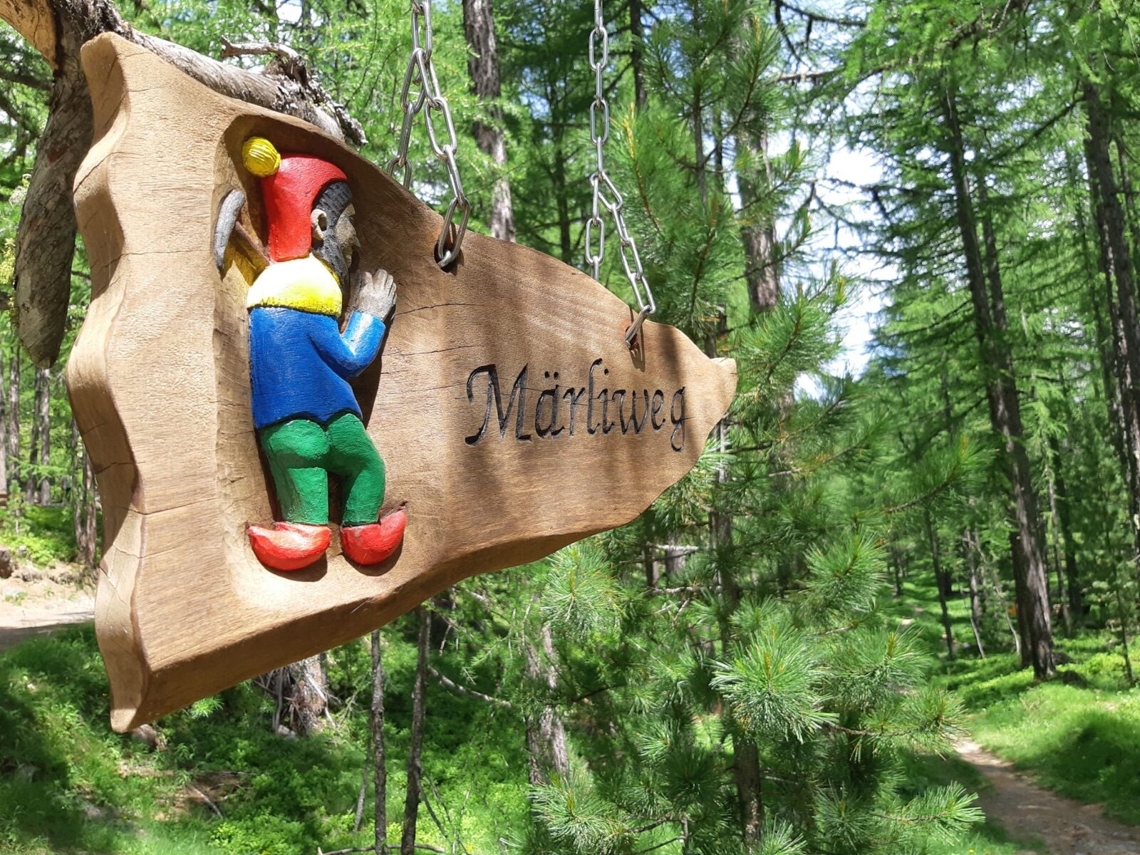
The Gogwärgiweg descends 6.5 kilometres from Fiescheralp to Fiesch and takes around two and a half hours, with over eleven hundred metres of descent. Along the way stand ten themed stations about the Gogwärgi, the goblins of local legend, keeping children walking without any need to negotiate. The path runs through forest and across alpine meadows. You ride up by gondola and walk down, which keeps the effort manageable. At the end you're simply back at the car.
 Winter
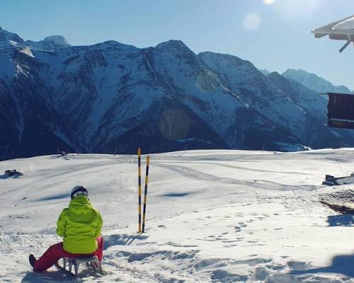
At almost eleven kilometres and 1,162 metres of descent, this is the longest toboggan run in the Aletsch Arena. The route runs from Fiescheralp via the Laxerwald all the way down to the village of Lax in the valley. You'll easily spend half an hour on the toboggan, so this is a proper descent rather than a loop. Open terrain alternates with wooded sections along the way. Getting back to Fiesch is by train or bus, keeping the logistics simple.
 Summer
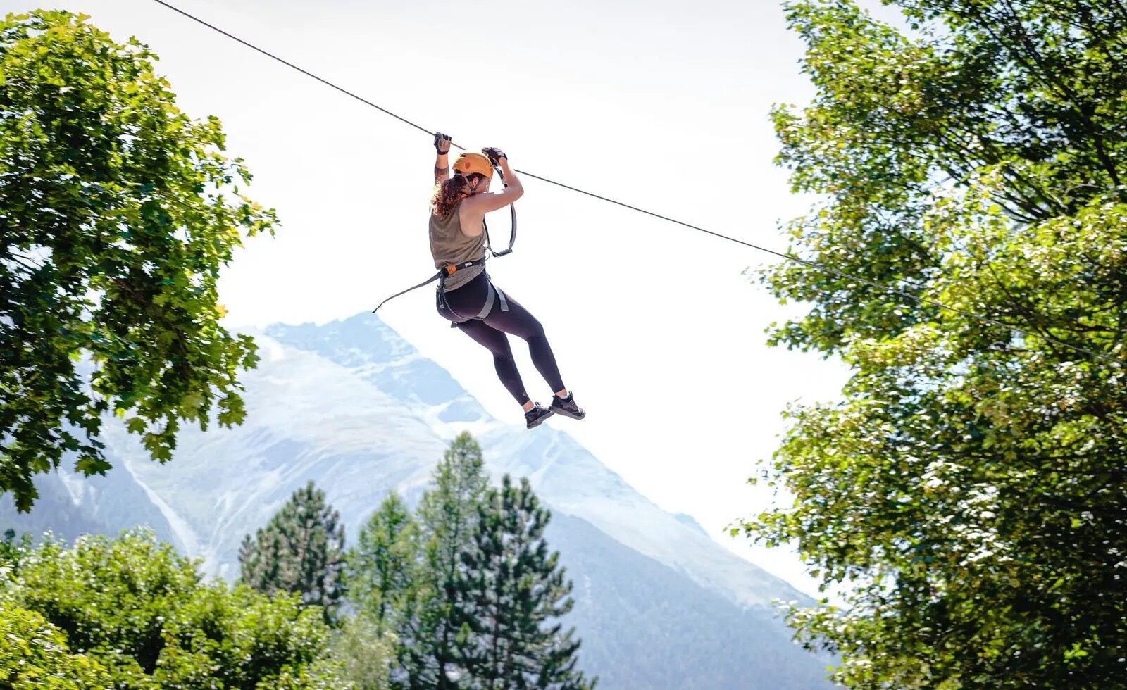
Down in the valley at Fiesch lies a rope park with six courses of increasing difficulty plus a zip line. Since it's down in the village, you don't need to take a cable car to reach it, making it a good fallback option if it's misty higher up. Children can join from the lower courses while parents climb alongside on the higher ones. Equipment and instruction are included. Allow two to three hours.
 Winter
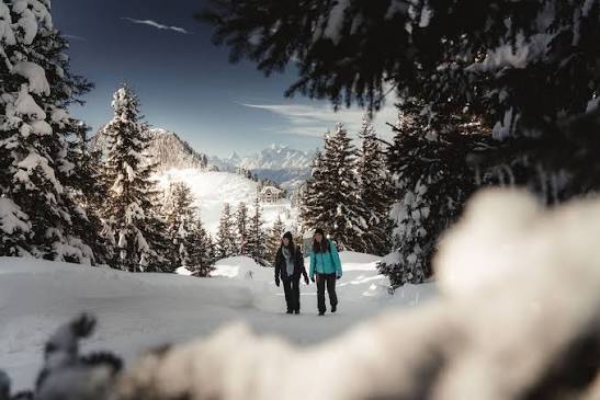
The high-altitude route from Fiescheralp to Riederalp measures just over nine kilometres with 343 metres of ascent and takes around three and three-quarter hours. It runs the whole way above two thousand metres along the mountainside, with constant views over the Rhône valley. The path is groomed, so snowshoes aren't needed. Along the way you pass Bettmeralp, where you can break off or continue. You return by cable car and train, the villages are well connected to one another.
 Winter
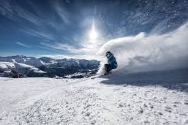
The ski area lies between 1,560 and 2,560 metres and is served by two chairlifts and two drag lifts; the mountain railway itself claims over thirty-five kilometres of piste. It's a sunny, easy-to-read area aimed mainly at families, with the Snow & Bike School and Kids Hasenland from age four. The season runs from mid-December to the end of March. You park at the Fürgangen valley station and ride up in four minutes on the cable car built in 1956, since the village is car-free.
 Winter
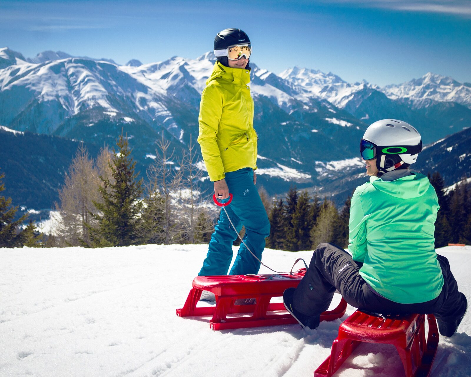
The 3.4-kilometre toboggan run starts at the Fleschen mid-station and is open daily from midday to four. After that the lights come on, and night sledging until eight in the evening is free, a rarity in the Alps. Toboggan hire costs CHF 20 a day. The run is wide and not steep, so it's manageable with younger children too. The stretch under the lights in the dark is, for most guests, the highlight of the day.
 Summer
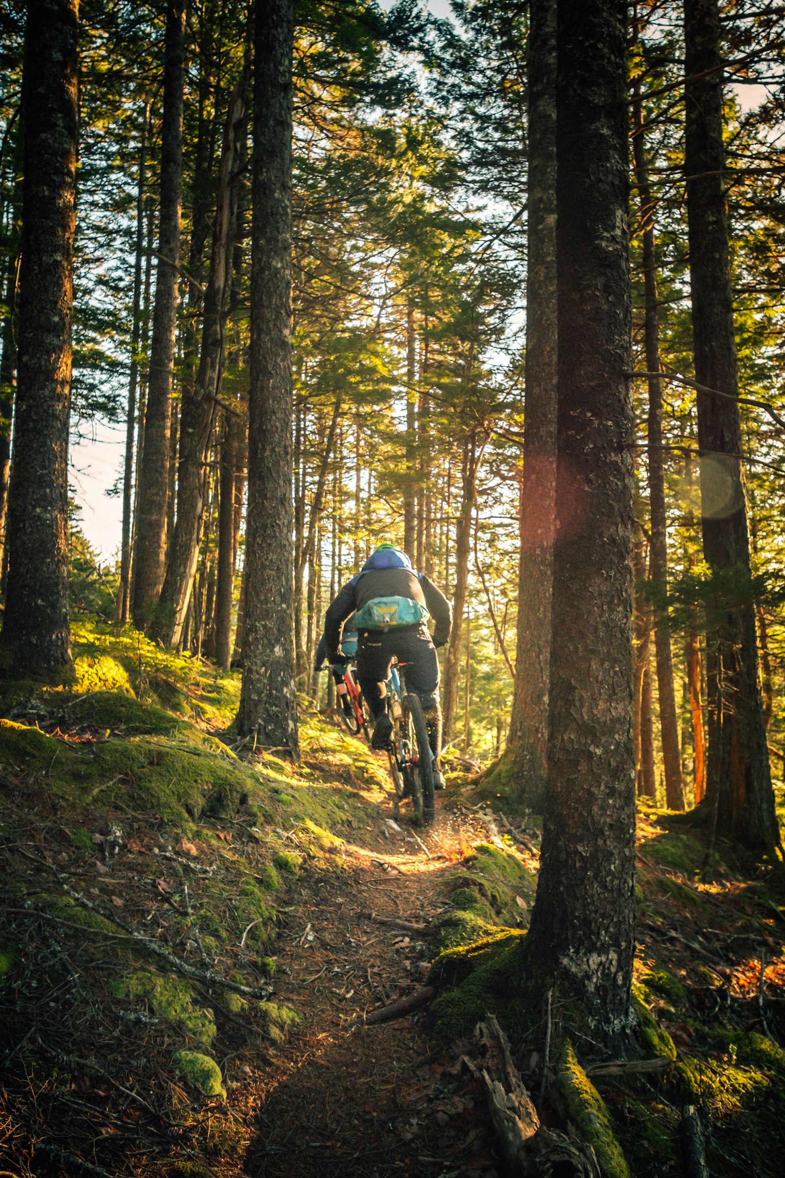
In 2026 the bike park has seven trails of varying difficulty and runs from May to October. At the valley station there's also a free pump track that children can use without a lift pass. The trails range from smooth flow lines to more technical stretches with roots and rocks. The chairlift takes bikes, so you can ride downhill all day. Equipment and protective gear can be hired on site.
 Year-round
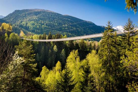
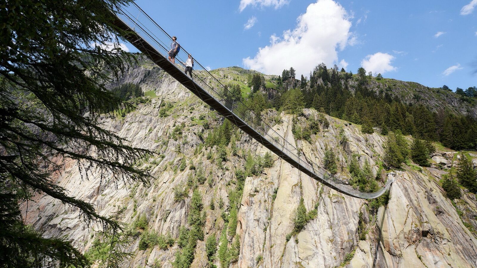
The Goms Bridge is 280 metres long and has linked Fürgangen with Mühlebach since 2015, high above the gorge of the young Rhône. It's open all year round and even wheelchair-accessible, unusual for a suspension bridge of this length. The walkway sways noticeably, especially in the wind. On the other side lies Mühlebach, one of the best-preserved wooden villages in the Goms. Parking is available at the Fürgangen valley station.
 Summer
The Aspi-Titter bridge hangs 160 metres long and 120 metres above the Weisswasser Gorge and is open from 1 July to 31 October. Unlike the Goms Bridge, it can only be reached on foot, which makes the crossing considerably more of an adventure. The bridge lies within the area bordering the Jungfrau-Aletsch UNESCO World Heritage site. Beneath you, the water plunges through a narrow gorge. Combine it with the Goms Bridge for a day with two suspension bridges.
 Summer
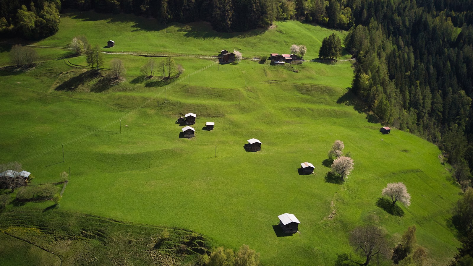
The Seven Lakes route strings together the mountain lakes above Bellwald, including the Wirbulsee, the Lengsee and the Spilsee. Each small lake sits in its own hollow and has a different colour depending on depth and terrain. The route is a full day's walk with serious ascent, but you can shorten it by turning back at any of the lakes. Along the way you have views of the Fiescher Glacier. Bring food, since there's nothing to buy up there.
 Summer
The Stoneman Glaciara is a signposted long-distance route of 65 kilometres with 3,150 metres of ascent that starts in Bellwald. You can do it in one demanding day or split it over two to three days with overnight stops along the way. The route runs along the ridge past the Eggishorn and the Bettmerhorn and crosses two suspension bridges. Participants collect stamps at checkpoints and receive a trophy on completion. For seasoned walkers, this is the finest multi-day trek in the region.
 Winter
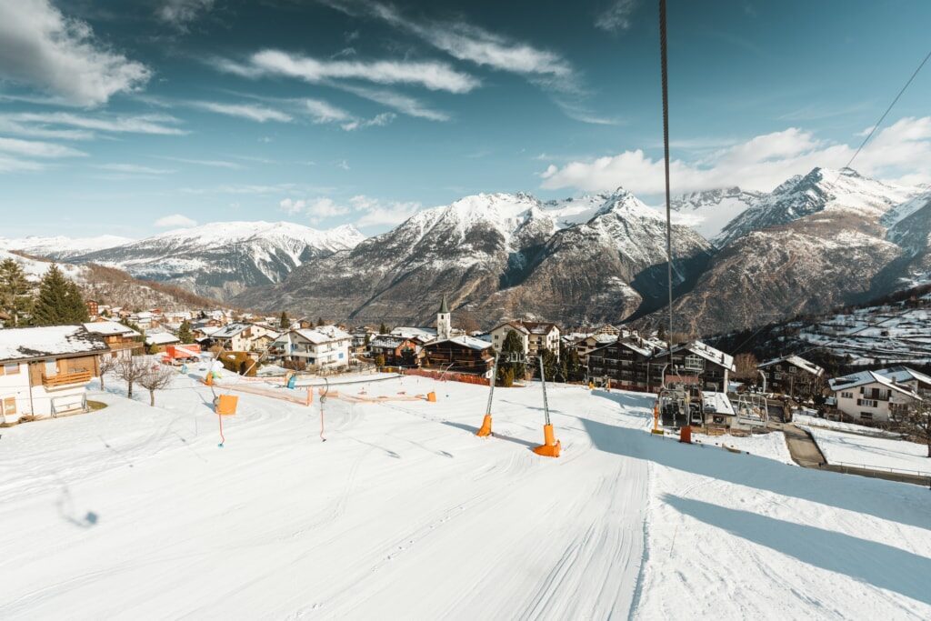
Nineteen kilometres of piste between 1,230 and 2,443 metres with seven lifts, of which ten kilometres are rated easy, a distinctly family- and beginner-friendly area. In winter it's linked through to Eischoll via the Strygge-Erez ski lift, bringing the total to around thirty-five kilometres. Those wanting more challenge can take the black run from the Brandalp back to the village. The area is part of the Magic Pass. You can drive there in half an hour, or take the cable car from Raron.
 Winter
Blitzen is the local name for descending on a toboggan sledge from the Brandalp to the village. It's done at your own risk and is also allowed during night skiing, meaning you can descend in the dark under the piste lights. The sledges are low and fast, so this is more sport than outing. For children there's a gentler daytime version. Equipment is hired at the valley station.
 Summer
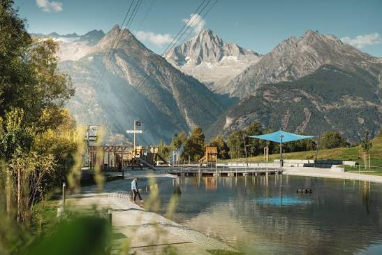
Near Unterbäch lies a constructed swimming lake of around a thousand square metres, with toilets, showers and free wifi around it. There are five motorhome pitches bookable on a first-come, first-served basis via an app. The water is pleasant on warm days and the surrounding meadow is flat and shaded. The park is open all year, though swimming is only appealing in summer. A good stop on the way back from a walk.
 Summer
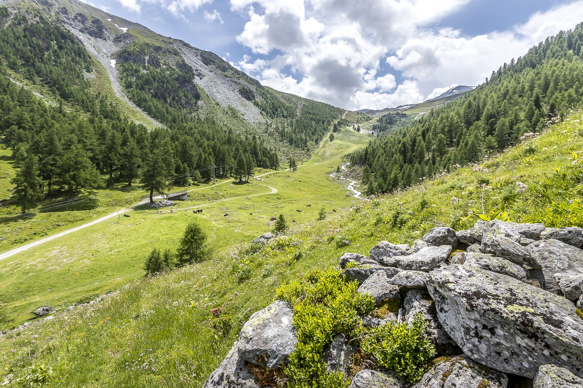
The Detektiv-Trail is a treasure hunt along a walking route where children collect clues along the way and solve a puzzle. It's exactly long enough to fill a morning without any complaints about walking. The route is flat to gently rolling and well signposted. Participation materials are available from the tourist office in the village. For families with children aged six to twelve, this is the best introduction to mountain walking the region has to offer.
 Summer
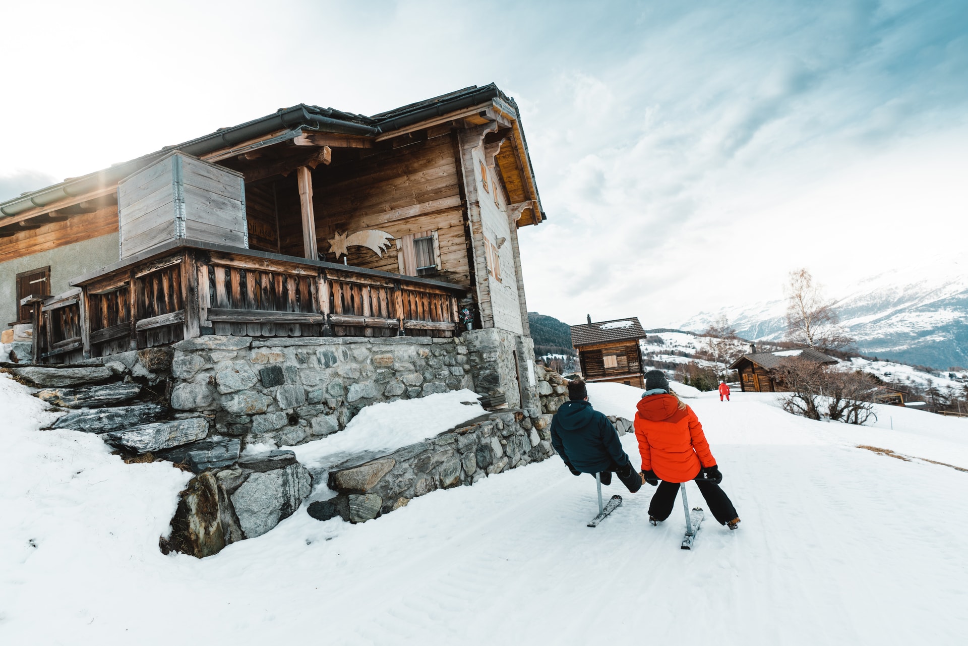
From the Brandalp you freewheel down on a scooter along the alpine road back to the village. Scooters can be hired at the mountain station and have wide tyres and reliable brakes, so no experience is needed. The descent runs through open meadows with views over the Rhône valley towards Raron. There are spots along the way to stop and take in the view. Combine it with a walk up, or simply take the cable car.
 Summer
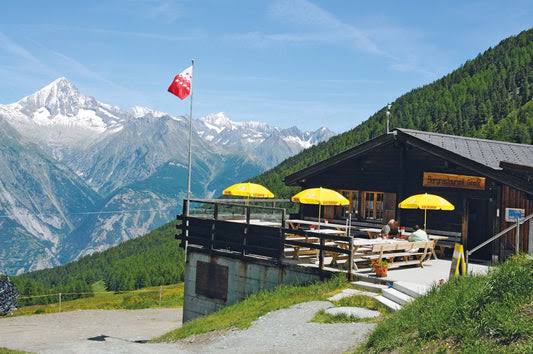
Ginals is a working alp where cheese is still made in summer. There's no restaurant, just a hatch where walkers can buy fresh alpine cheese, drinks and a bite to eat. That's exactly what makes it special: you're standing on a genuine alp, not a terrace. The walk there climbs from Unterbäch through meadows and forest. Bring cash, since there's no card payment.
 Summer
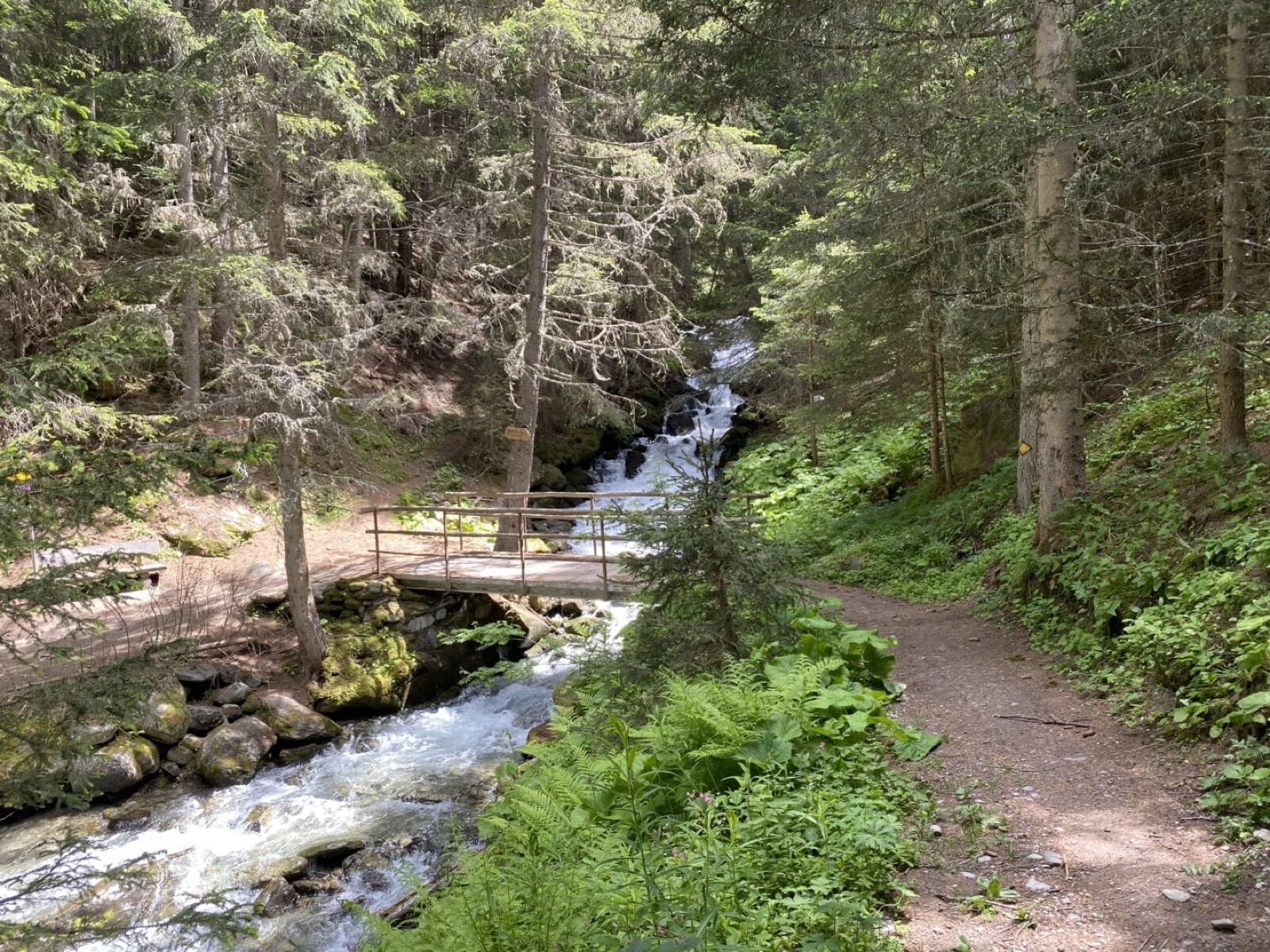
This circular walk connects Unterbäch with the Eischollalp and runs across the sun terrace with an open view of the Bietschhorn opposite. It's half a day's walking on well-maintained paths, partly alongside historic irrigation channels. Along the way you pass alpine meadows still grazed by cattle in summer. The route is a classic in the Augstbord region and links the two neighbouring villages that also share their ski areas in winter. A free regional bus can bring you back if you prefer.
 Winter
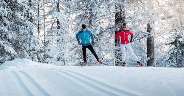
More than a hundred kilometres of cross-country trails run through the flat valley floor from Oberwald to Niederwald, with a day pass from CHF 7. The Rottenloipe measures 19.56 kilometres and is easy; the Hangloipe, at 21.49 kilometres, climbs the flank and is considerably tougher. There's also a sunny trail to Münster, a training loop and a race course. Classic and skating styles each have their own tracks throughout. The Goms is regarded as Switzerland's finest cross-country skiing region, and on a clear January day it's easy to see why.
 Winter
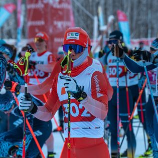
The Gommerlauf is the valley's big cross-country ski race and celebrates its fifty-fourth edition at the end of February 2027. The main event is a 42-kilometre ski marathon starting and finishing at the Nordic Centre in Geschinen, but there are also shorter classic and free-technique distances, a Schnupperlauf for beginners and a Mini-Gommerlauf for children. The whole valley turns out to watch. Even if you're not taking part, it's a good reason to head to the Goms that day.
 Winter
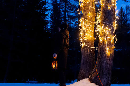
Between Ulrichen and Obergesteln lies a floodlit 4.45-kilometre cross-country trail where you can ski on into the evening. In a valley where the sun already disappears behind the mountains by three o'clock in December, that's no luxury but a lifeline. The loop is flat and follows the river. Because it's dark and the lamps light only the track itself, it feels quite different from skiing by day. One of the nicest evening activities in the whole region.
 Winter
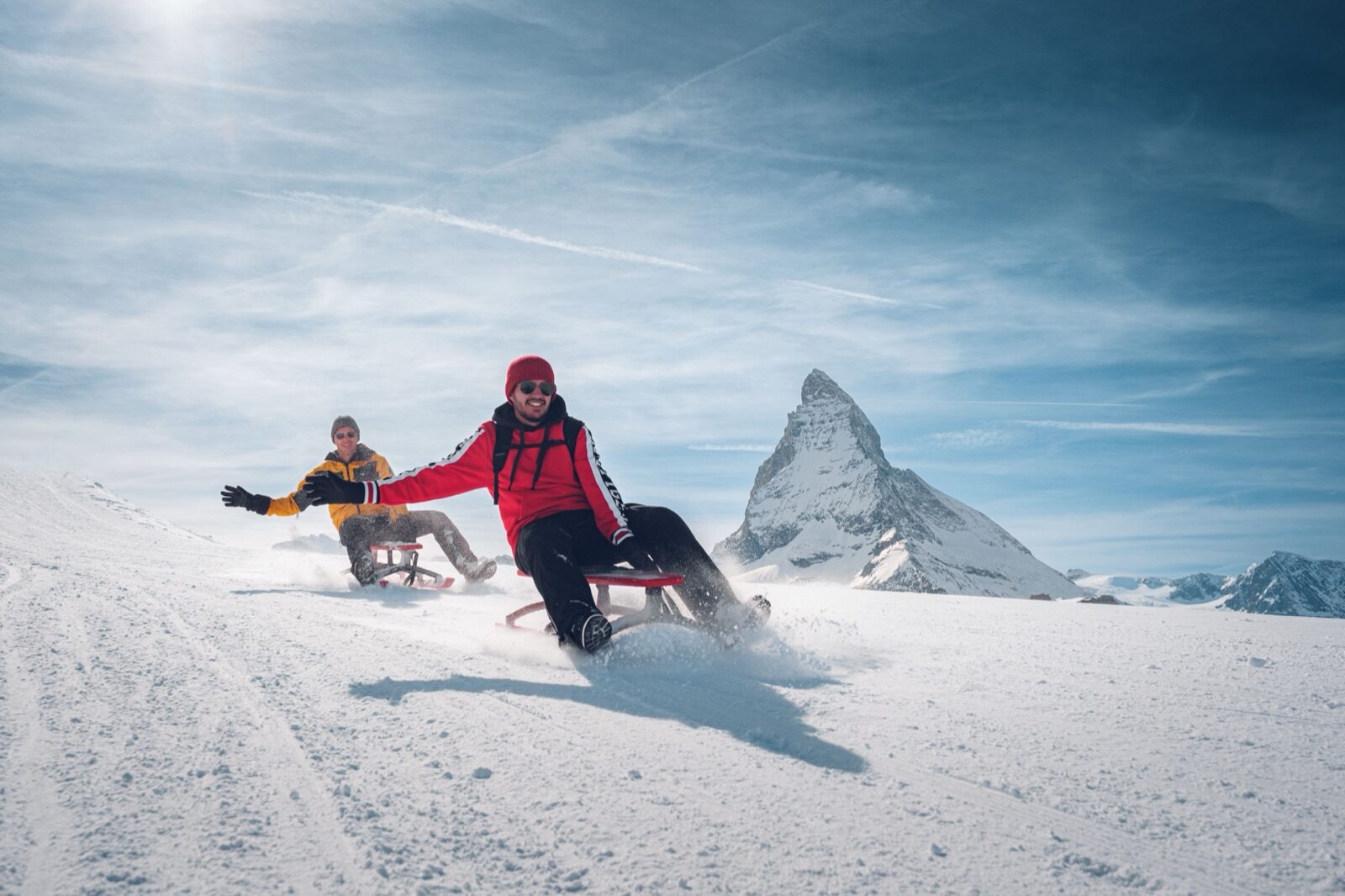
The Goms has ten toboggan runs spread across its villages, ranging from a fifty-metre practice slope to the 3.1-kilometre Rhonequelle descent near Oberwald. At Geschinen there's a one-kilometre run that works well for young children. Because the runs are right by the villages, you don't need a lift pass to use them. Toboggans can be hired locally. It's the cheapest way to have an afternoon of snow fun.
 Winter
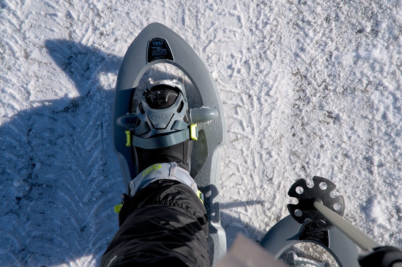
Of the eight marked snowshoe routes in the Goms, the Galmihornhütte Trail is the most beautiful and the toughest: 9.59 kilometres with 723 metres of ascent, taking around four and a half hours. The route climbs out of the valley up the flank to the mountain hut, with ever wider views over the valley as you go. It's a serious outing that demands fitness and time. Set off early and check the avalanche bulletin. For something shorter, there are seven other routes to choose from.
 Year-round
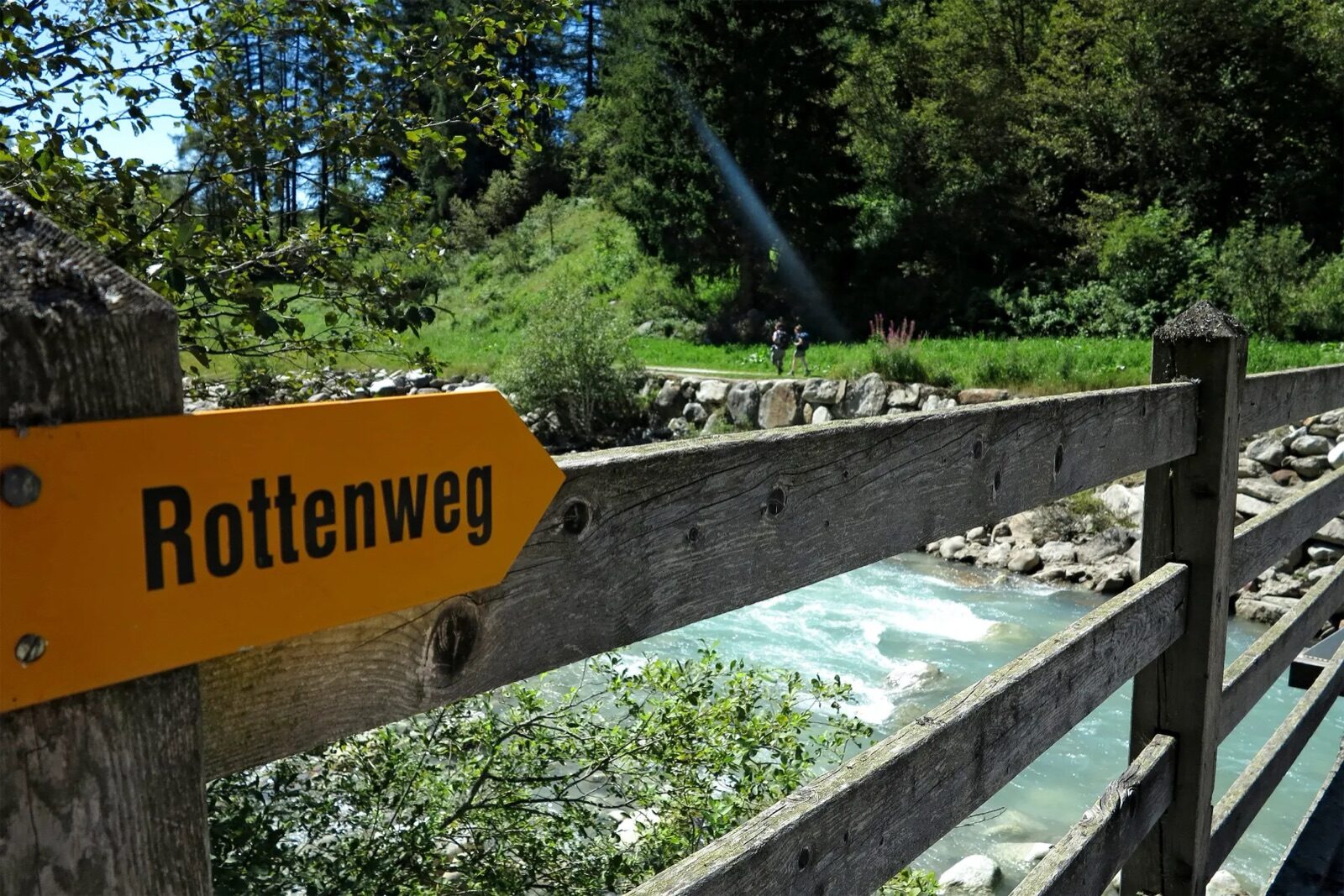
The Rottenweg follows the Rhône, still called the Rotten here, for almost twenty kilometres from Oberwald to Niederwald, and is walkable in both summer and winter. The path is flat and wide enough for a pushchair or a bike, making it one of the few genuinely accessible mountain walks. Along the way you pass through every village in the valley, so you can join or leave the route at any point and take the train back. In winter the path is groomed. Allow five and a half hours for the full route.
 Summer
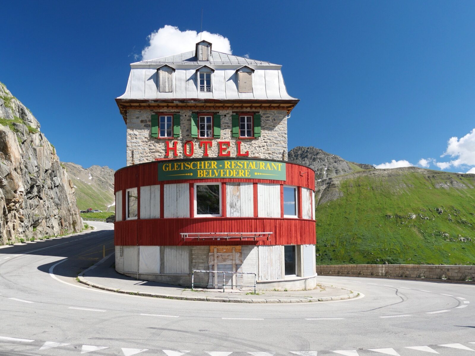
From the Furka Pass at 2,235 metres, a 3.64-kilometre route leads to the Rhône Glacier, source of the river that eventually flows into the Mediterranean. The walk takes about two hours and descends a net of just over three hundred metres. At the glacier front, an ice grotto has been carved into the ice that you can walk into. The pass is only open in summer, roughly from June to October. Combine the drive with the Grimsel or Nufenen Pass for one of Switzerland's most spectacular day trips.
 Summer
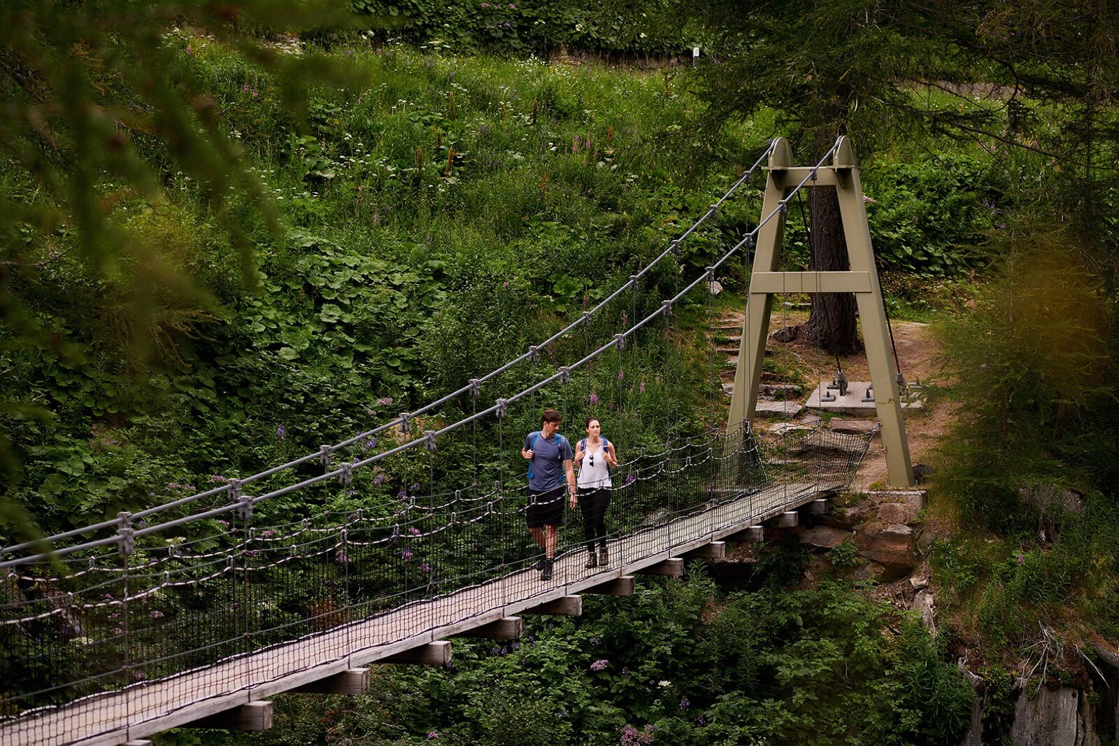
Near Ulrichen hangs the Bodmer Bridge over the river, a pedestrian suspension bridge that forms part of the valley's walking network. It's reached from the village in a short time and requires no climbing, so it's easy to do with children too. The bridge moves just enough to be exciting without being frightening. Flat hiking trails along the Rhône surround it. A suitable activity for half a day or as a stop along the way.
 Summer
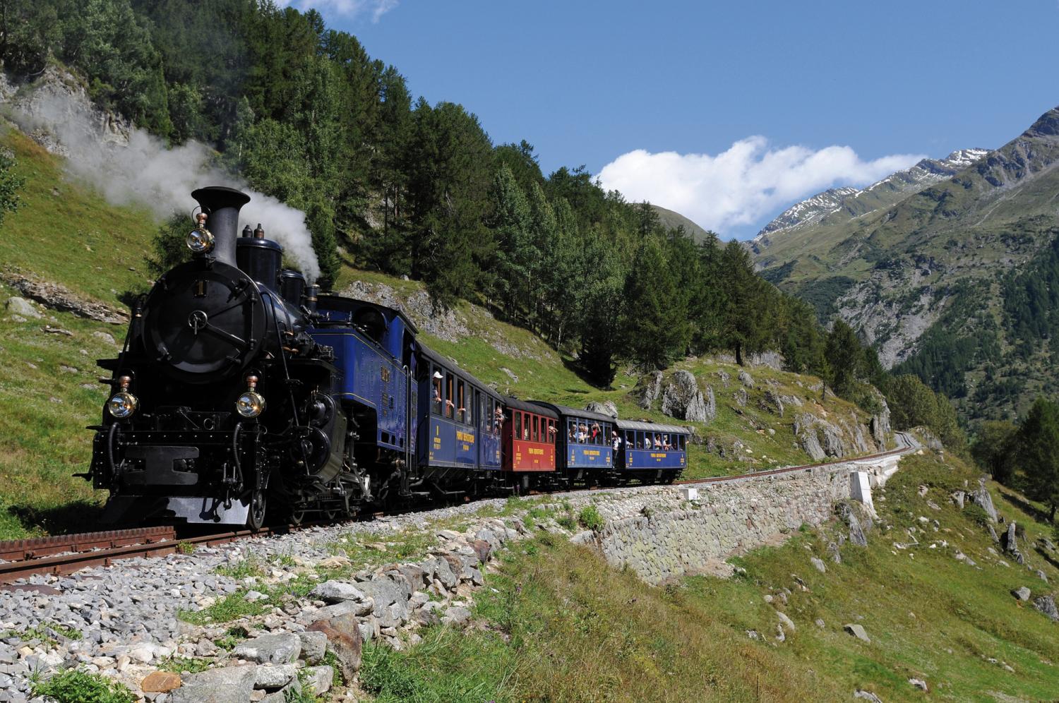
In summer, the Dampfbahn Furka-Bergstrecke runs along eighteen kilometres of historic narrow-gauge line from Oberwald to Realp, straight across the Furka. The locomotives are more than a hundred years old and are maintained and stoked by volunteers. The line climbs above two thousand metres, with rack-and-pinion sections on the steepest stretches. Along the way you get views of the Rhône Glacier. Tickets need to be booked well in advance, as the number of trips is limited.
 Winter
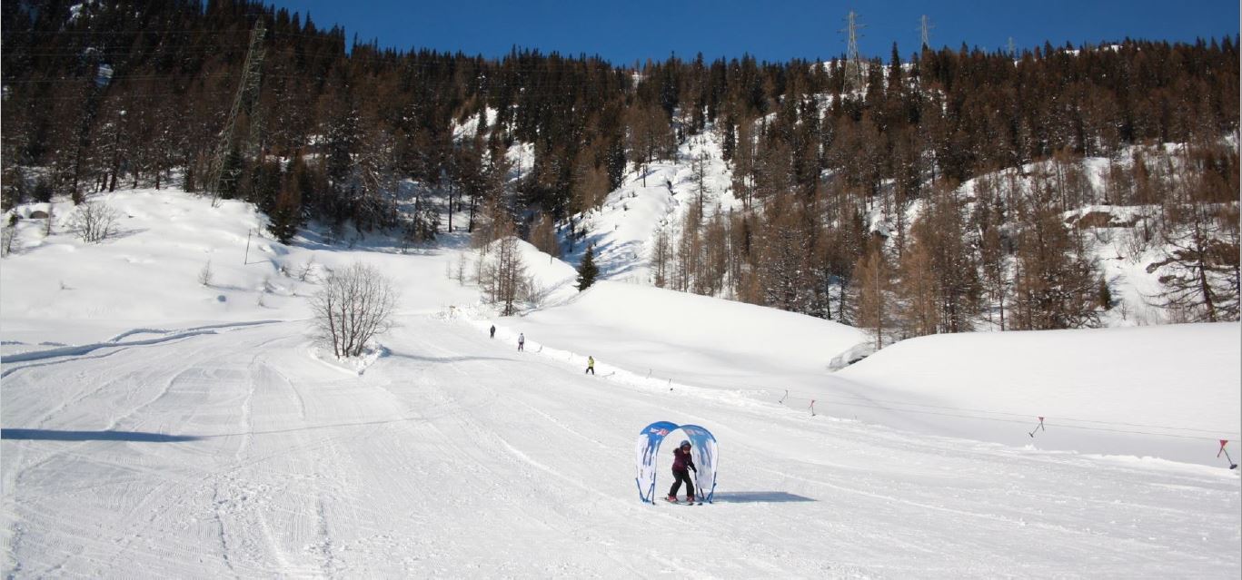
Alongside cross-country skiing, the Goms has three small ski lifts at Oberwald, Münster-Geschinen and Gluringen, plus a snow park. At Münster-Geschinen there's weekly evening skiing on the floodlit slope. These aren't areas for a whole week, but they're ideal for teaching children to ski without the crowds and prices of the big resorts. The lifts sit practically in the villages. For an afternoon after cross-country skiing, it's just enough.
 Winter
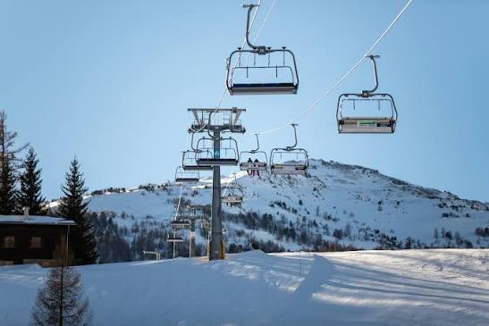
Fifteen kilometres of pistes between 1,260 and 2,200 metres with three lifts, linked in winter to Unterbäch for around thirty-five kilometres combined. It's distinctly small-scale and quiet, which makes it ideal for children just starting out or for a day when you'd rather not queue anywhere. The area is part of the Magic Pass. There's its own ski school offering group and private lessons. You can drive up a narrow mountain road, or take the cable car from Raron.
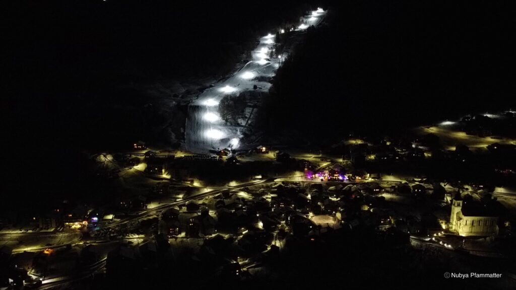 Winter
On Friday and Saturday evenings, the lights come on between half past six and half past nine on the piste from Strygge down to the village. Skiing in the dark under the lamps is a completely different experience from daytime: the piste is quieter, the snow harder, and the view of the village lights below is part of the appeal. It's one of the few places nearby where this is offered on a regular basis. Dressing warmly is advisable. Tobogganing is also possible on the same run.
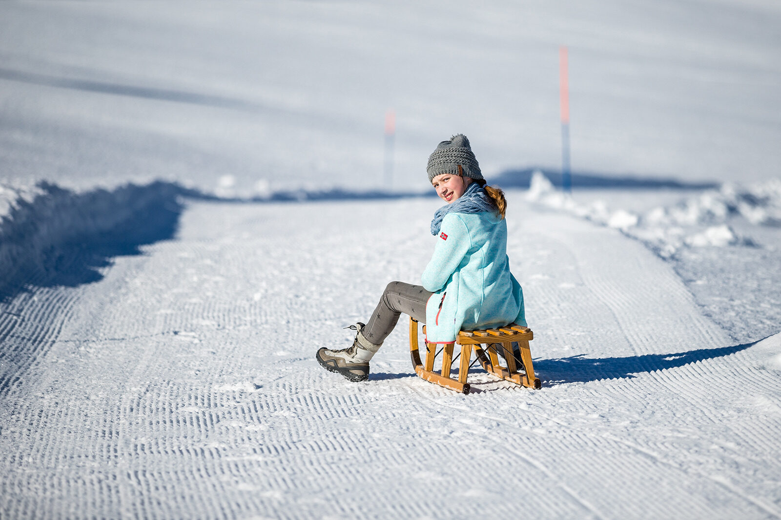 Winter
The toboggan run measures three kilometres from Strygge back to the village, short enough to do several times in a row. Ghosky toboggans, a steerable model that adults also enjoy riding, can be hired at the valley station. The run is wide and not steep. On the evenings when there's night skiing, the toboggan run is floodlit too. For families with young children, this is one of the most accessible toboggan runs in the region.
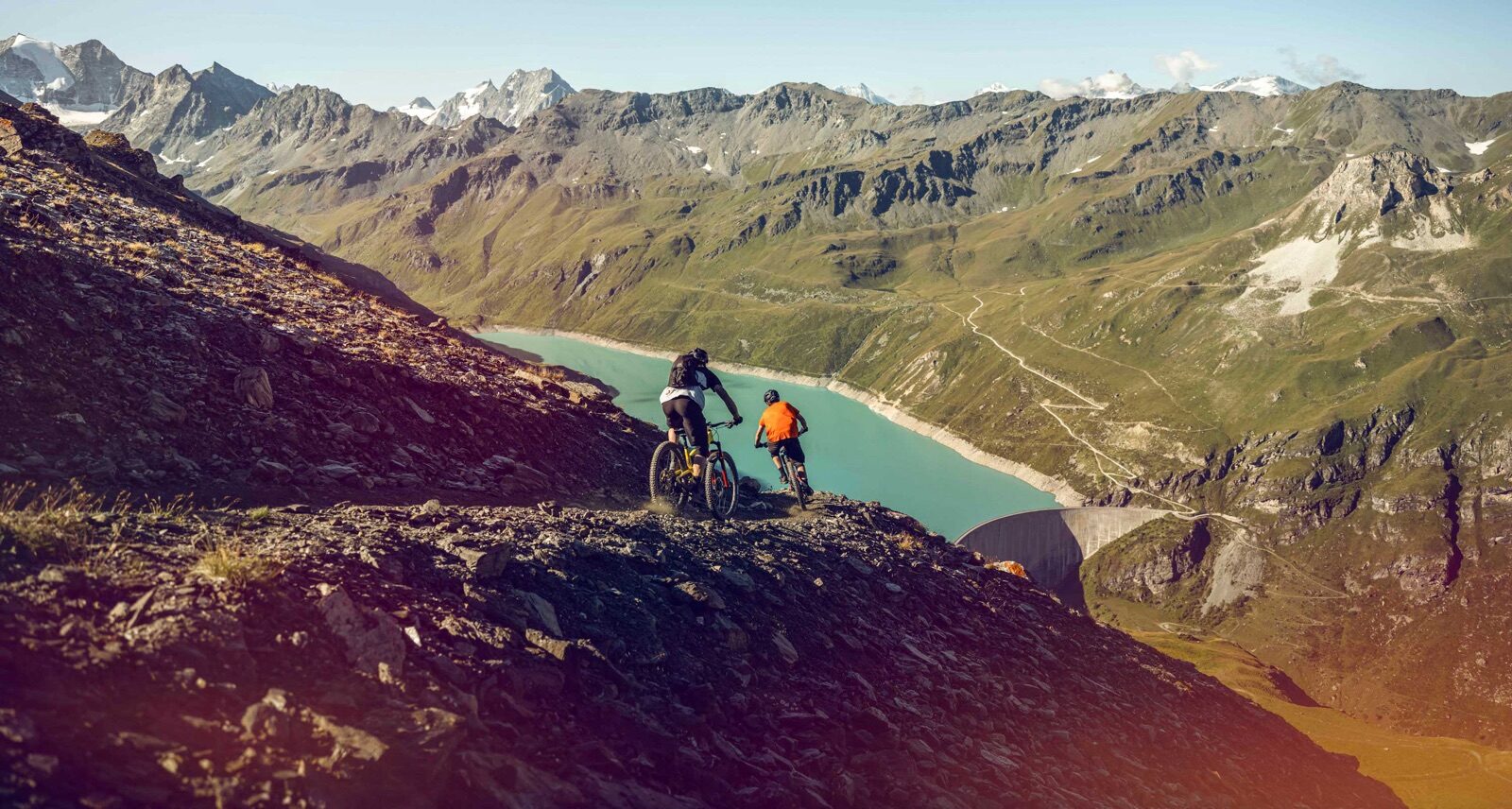 Summer
The Lufu Trail descends from the cable car's mountain station back to Raron and is rated intermediate. The Lunggi Trail heads the other way towards Steg and Gampel and is a flowing singletrack that links up with the Moosalp plateau network. Together they offer a full day's riding without any climbing, since the cable car carries bikes. The terrain varies between forest, meadow and loose rocky sections. Equipment can be hired in the valley.
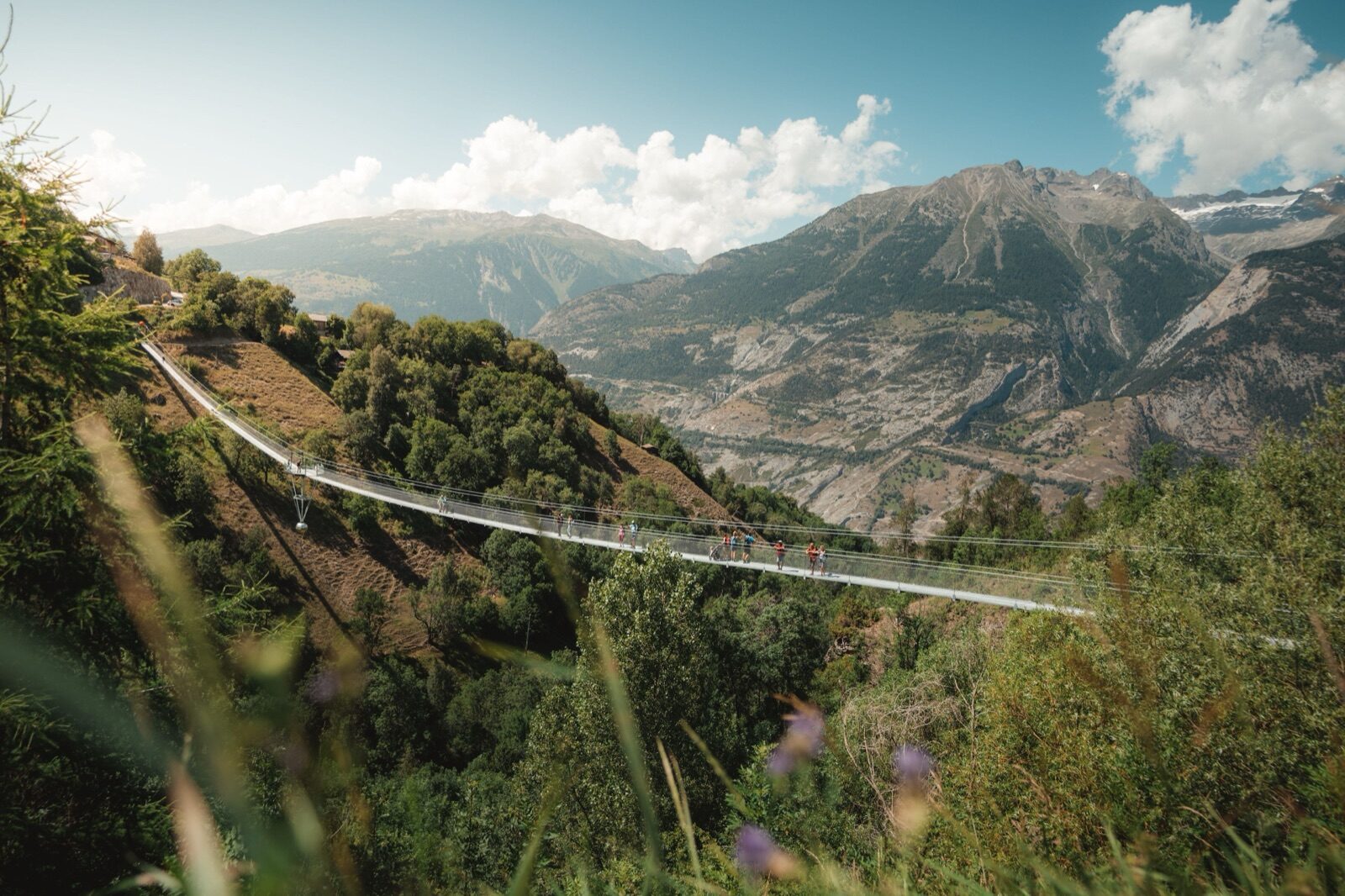 Summer
A pedestrian bridge spans the Milibach as part of the walking network around Eischoll. It's shorter than the Goms' larger suspension bridges, but sits beautifully in the forest above the stream and requires no long approach. The route there is easy to manage with children. Combine it with one of the nearby themed trails for an afternoon walk. Along the way you pass old irrigation channels that still carry water.
 Summer
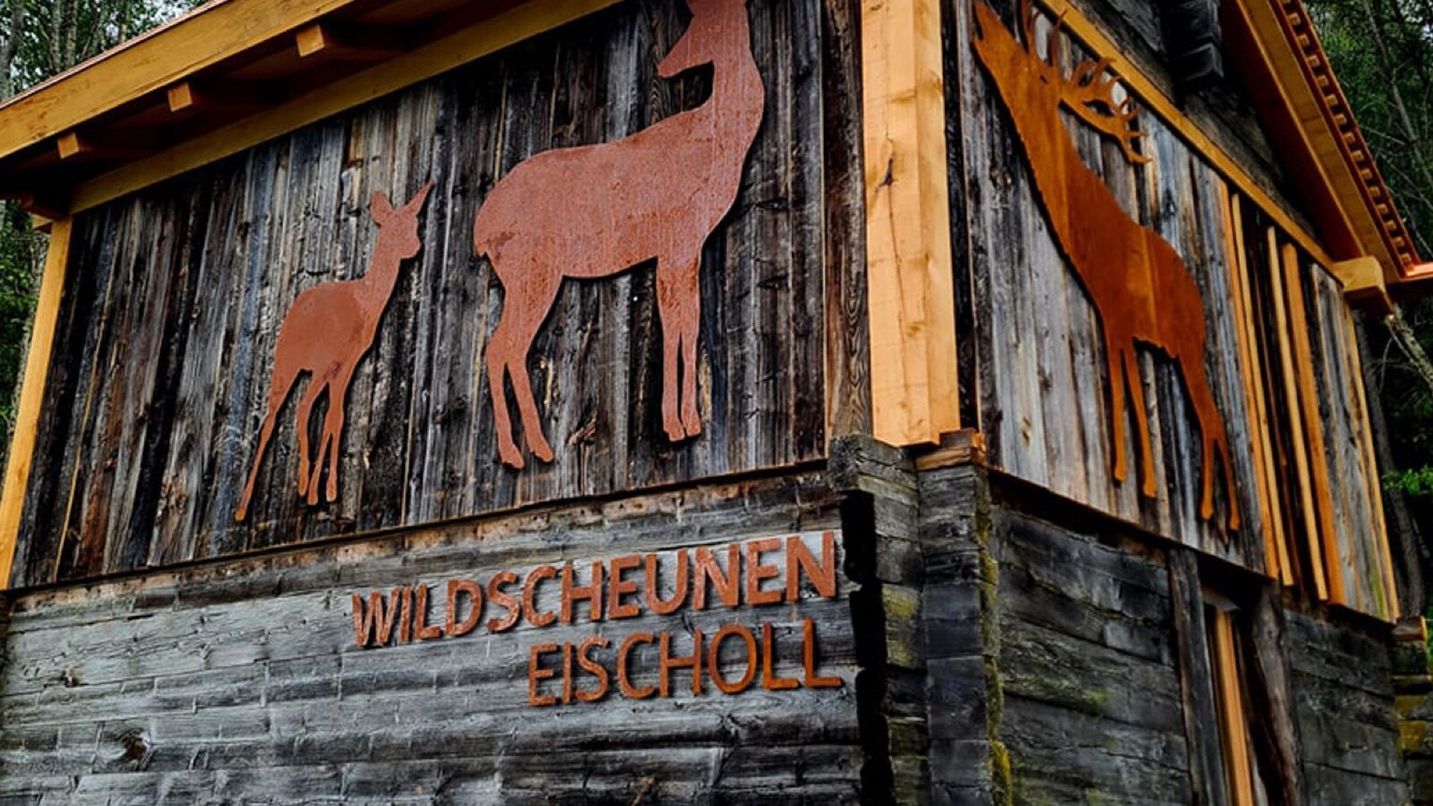
The Wildscheunen are historic barns that villagers have converted, as volunteers, into small nature-discovery spaces. Each barn covers a different theme from the surrounding mountain nature, from insects to water systems. They sit along a walking route, so you pass them naturally. It's a project that grew entirely out of the community itself, and that shows in how it's been carried out. Especially good fun with children, and free to visit.
 Year-round
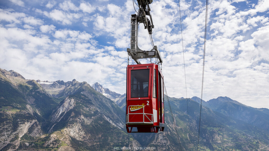
The cable car climbs in eight minutes from 645 metres at Raron to 1,217 metres at Eischoll, with two ten-person cabins and a capacity of sixty people per hour. A single ride cost CHF 6.40 for adults in the 2025/26 season. It runs to a year-round timetable, making it an alternative to the narrow mountain road. In summer, the sports line operates daily from ten to five, from late June to mid-August. Handy if you'd rather not tackle the hairpin bends yourself.
 Winter
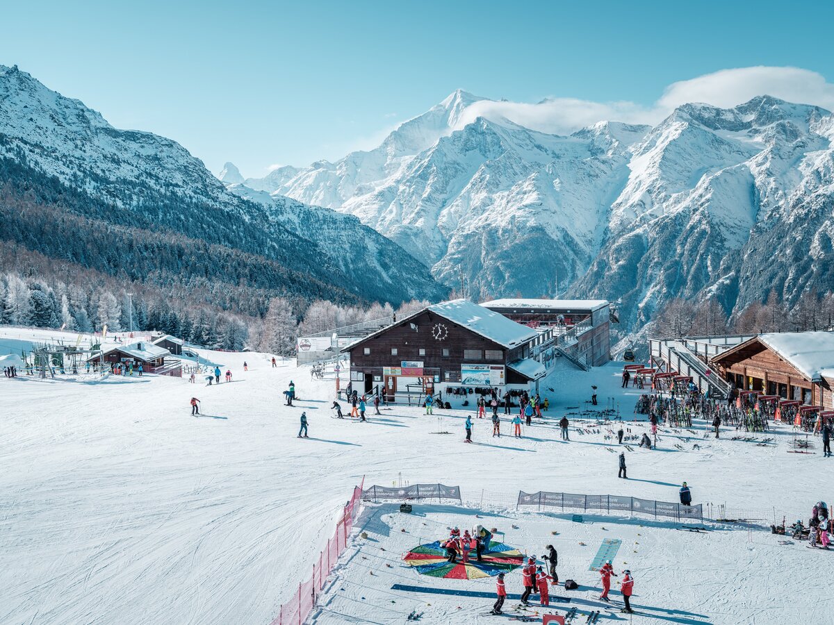
Forty-four kilometres of pistes between 1,619 and 2,864 metres with ten lifts, of which nine kilometres are easy, 33 kilometres intermediate and two kilometres advanced. That split explains why Grächen is known as a family area: there's plenty of comfortable red terrain and little to alarm anyone. The Hannigalpbahn takes you to the mid-station at 2,114 metres, the heart of the area. The village sits on a broad sun terrace and is largely car-free. From Ried-Brig it takes about thirty-five minutes to drive there via Visp and St. Niklaus.
 Winter
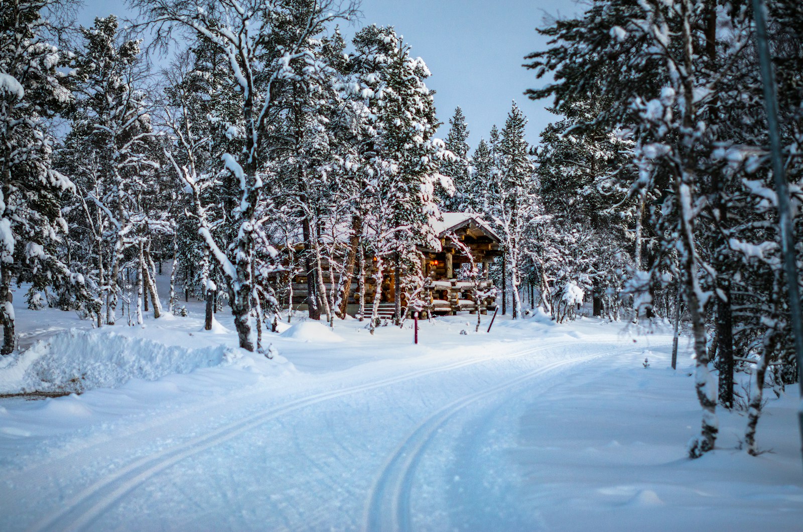
A toboggan run leads from the Hannigalp back down to the village, with hire available at the valley station. The run descends through forest and across open slopes and can be repeated as often as you like using the cable car. For families it's a good change of pace on a ski day, and for non-skiers a proper alternative in its own right. Warm clothing and gloves are no luxury. The mountain restaurant above provides a natural halfway break.
 Winter
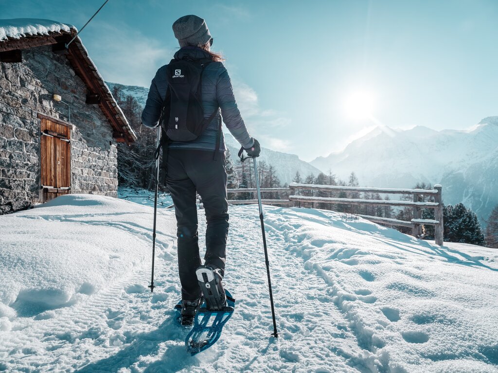
Grächen maintains more than 38 kilometres of groomed winter walking trails and 23 kilometres of snowshoe routes. The best-known snowshoe hike is the Königsroute from the Hannigalp to the Wannihorn, taking about an hour and a half. For those who'd rather just walk, the route to Bärgji with its mountain restaurant is a good choice. The trails lie on the sun terrace, so they catch plenty of light. Snowshoes can be hired in the village.
 Summer
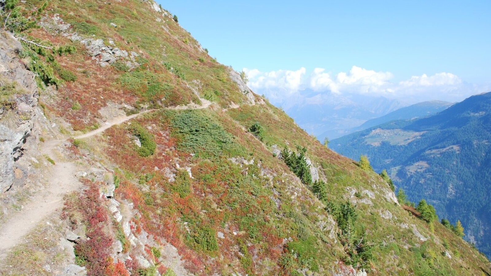
This high route links the Mattertal with the Saastal and is a demanding day hike, walkable from June to October. You walk high along the flank, crossing a wooden footbridge above the Schweibbach, before finally descending into Saas-Fee. Allow a full day with a serious amount of ascent and descent, and set off early. The way back is by public transport via Visp. For experienced mountain walkers, this is one of the finest day hikes in the whole region.
 Summer
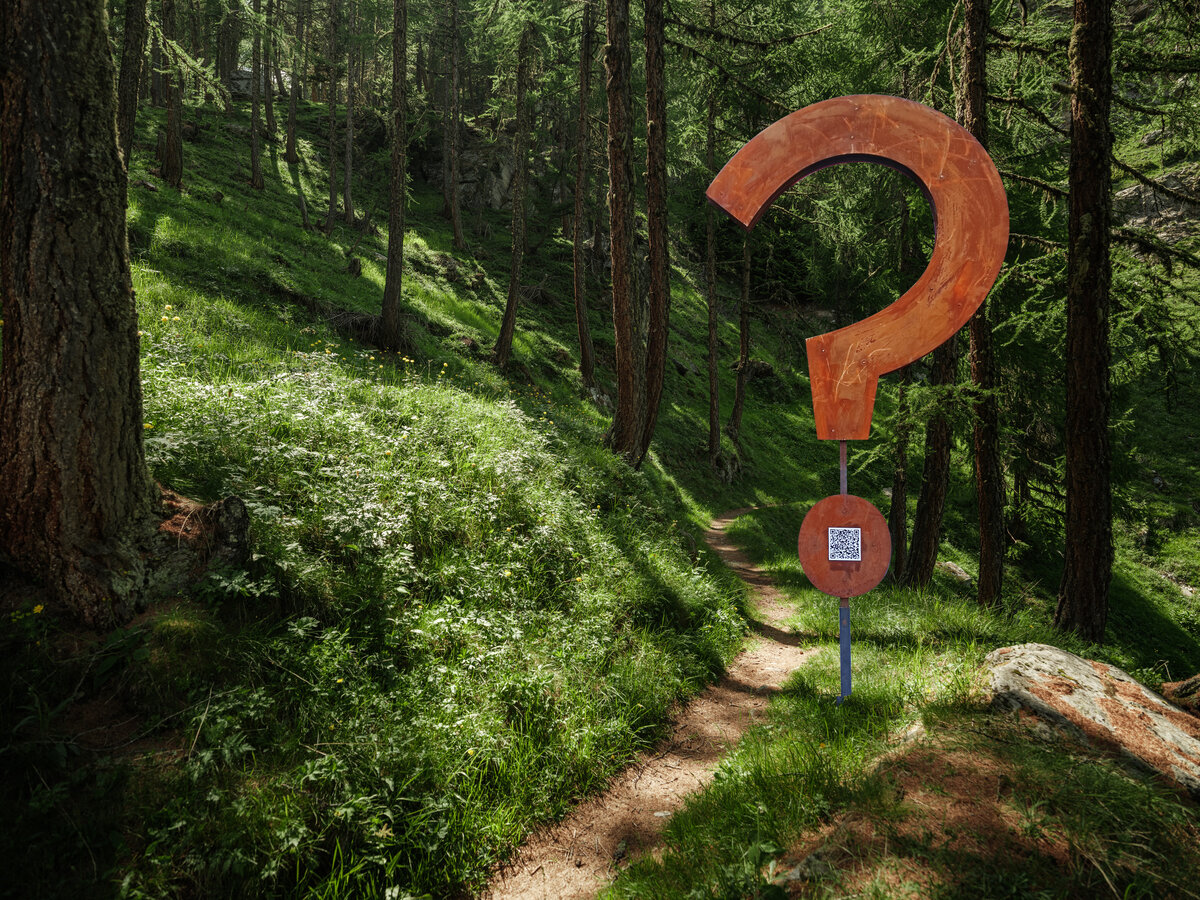
At the Hannigalp there's a themed trail with thirty question marks along the route, each with a QR code leading to a question and its answer. It's designed for all ages and works surprisingly well at keeping children walking. The route is a loop, so you end up back at the mountain station. The terrain is gently rolling and easy underfoot. Bring a phone with plenty of battery.
 Summer
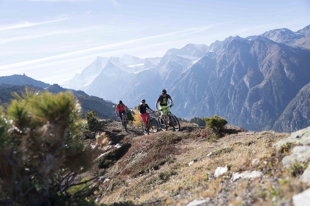
Grächen has a Flowtrail for smooth descending, the Mattsand Enduro for more technical riding, and the Gspon Panorama for the views. There's also a stage of the Valais Alpine Bike Tour running through here, climbing to 2,005 metres as part of a two-week route. The cable car carries bikes. The terrain varies between forest, alpine meadow and rocky sections. Hire and guiding are arranged in the village.
 Summer
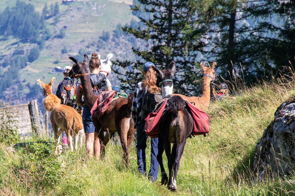
Near Grächen you can spend a day trekking with llamas, leading them on a rope along the mountain paths. The animals carry the luggage and largely set the pace, which makes the walk noticeably relaxed. It's a particular hit with children, since there's always something happening along the way. Beforehand you're given instructions on how to handle the animals. Booking is through the Grächen tourist office and should be done well in advance.
 Winter
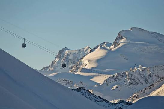
Depending on how it's counted, twenty-six to thirty-four kilometres of pistes with eight lifts, from the valley station at 1,559 metres to the mountain station at over three thousand metres. The emphasis is on red runs with substantial vertical drops, and thanks to the altitude the snow is reliable. The season generally runs from around 20 December to early April. Unlike Saas-Fee, Saas-Grund is reachable by car right up to the valley station. On the way up you look straight across at the Weissmies.
 Winter
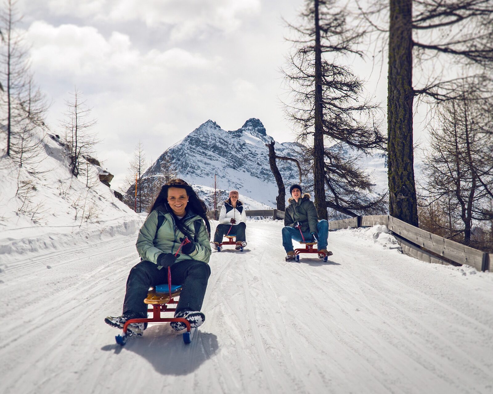
At eleven kilometres, this is one of the longest toboggan runs in the region: all the way from Kreuzboden at 2,400 metres back down to the valley. A day pass costs CHF 45 for adults and CHF 26 for children, with toboggan hire at CHF 10. The descent takes a good half hour and passes through varied terrain. At the Ziebel village lift you can go night tobogganing in the evening for CHF 5 a ride. For families, this is a full-fledged alternative to a day of skiing.
 Winter
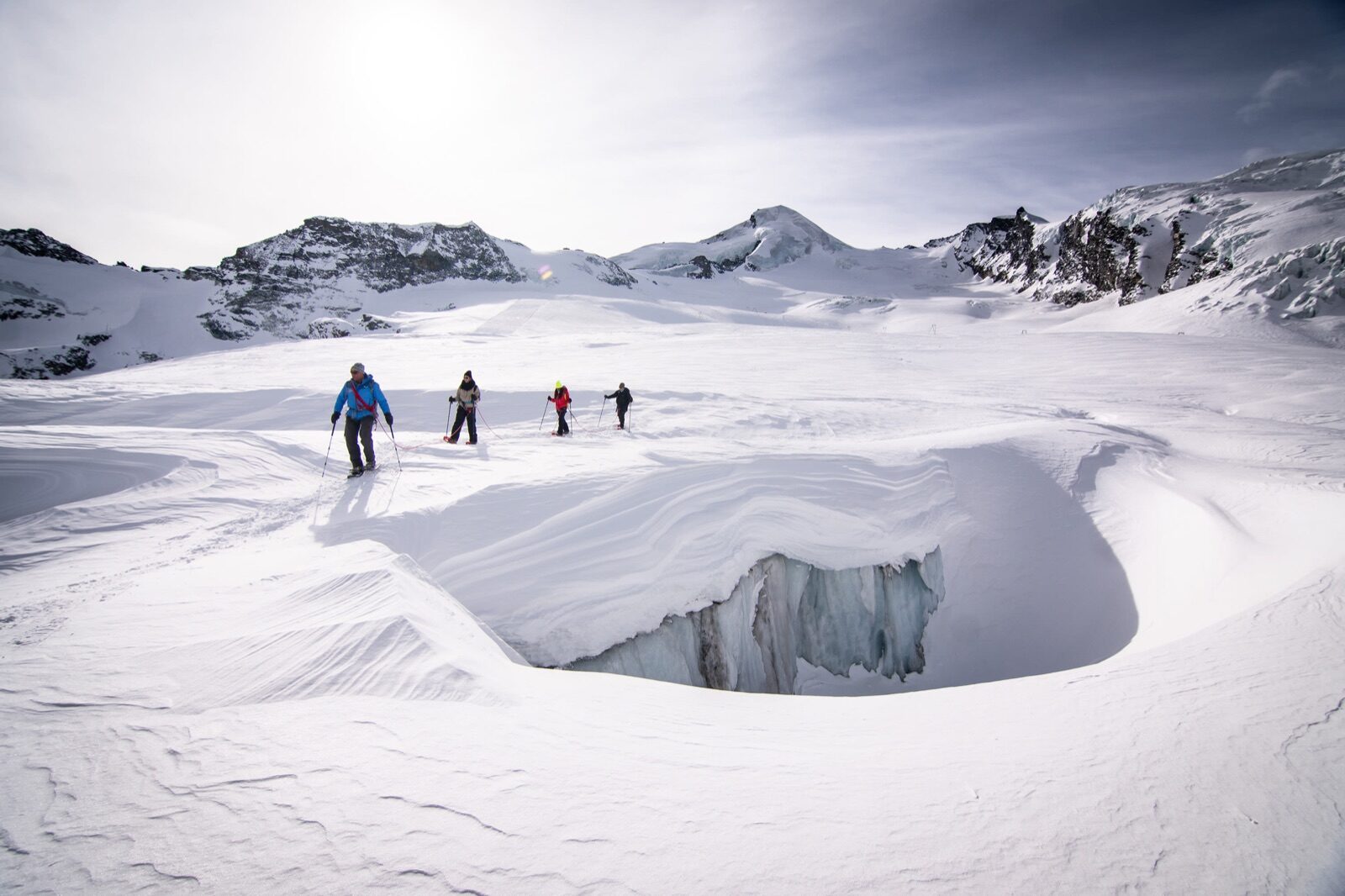
From the Hohsaas mountain station, a guided trek across the Trift Glacier sets off, lasting about two and a half hours, every Wednesday at half past one or on request. You walk roped up across a crevassed glacier at over three thousand metres, in a landscape you'd otherwise only glimpse from a distance on the piste. Prices start at around CHF 550 for a group of one to three people. Equipment is provided. It's an experience that most ski areas simply don't offer.
 Summer
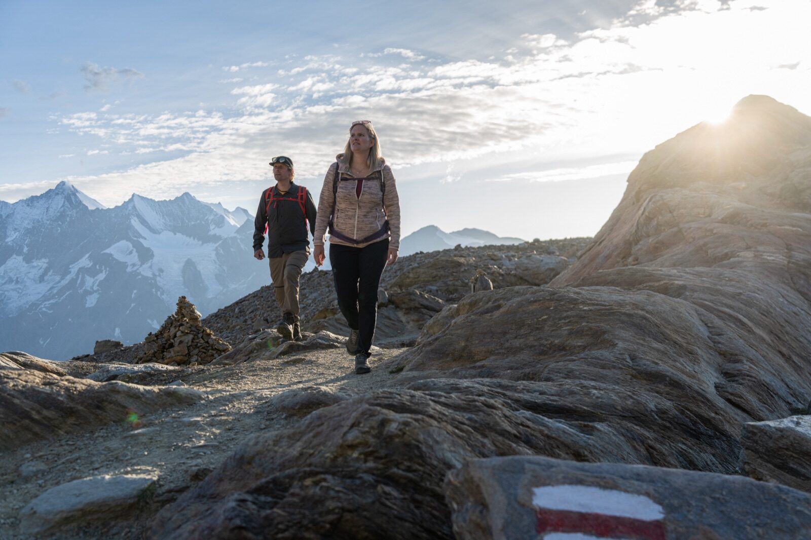
This hiking trail descends from Hohsaas back to Saas-Grund at 1,559 metres and takes its name from the eighteen four-thousanders you can pick out along the way. At every viewpoint a sign shows which summit you're looking at, from the Fletschhorn to the Dufourspitze. It's a descent, so the cable car does the hard work. The path is well signposted but stony in places. On a clear day, this is the best overview of the Saastal you can get on foot.
 Summer
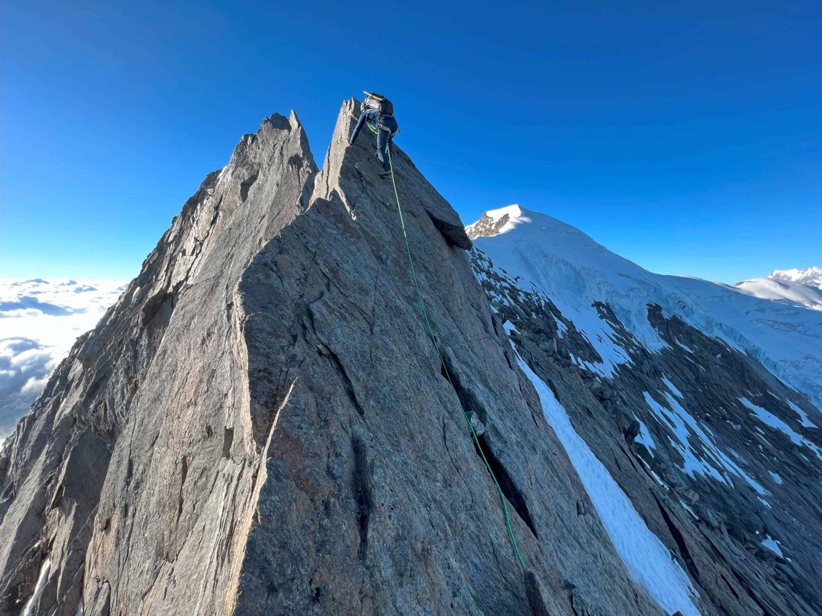
From Hohsaas you climb to the summit of the Weissmies, at over four thousand metres, in around four hours, via the Trift Glacier and the south-west ridge. It's one of the more accessible four-thousanders in Valais, but the glacier is crevassed and a guide is strongly recommended. Slopes reach up to around forty degrees. The first ascent dates back to 1855. For anyone wanting to climb their first four-thousander, this is one of the most logical choices.
 Summer
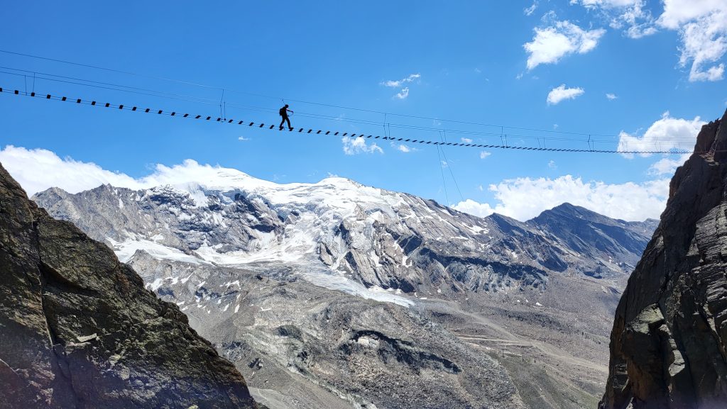
The Jägihorn via ferrata has had its own suspension bridge halfway along the route since 2016, making it one of the more spectacular routes in Valais. You climb along steel cables and rungs up the rock face with open views over the Saastal. Guided trips are offered from around CHF 300. A full set of helmet, harness and clamps is compulsory. Some climbing experience and good fitness are needed.
 Summer
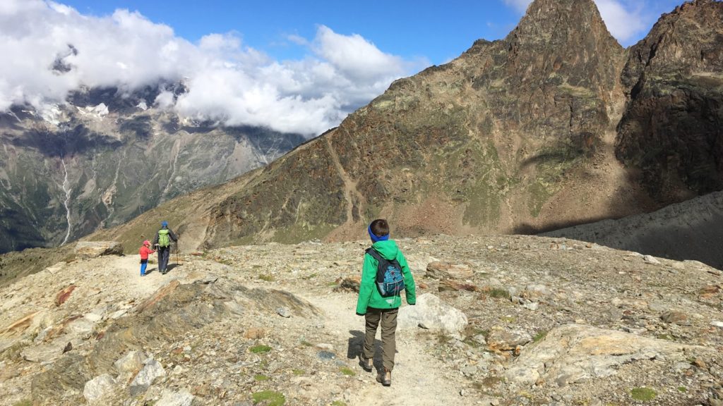
At the Kreuzboden mid-station, at 2,400 metres, there's a twelve-hundred-metre discovery trail with water play features along the Kreuzbodensee, exactly what you need once the children have had enough of just walking. From the same point, it's about an hour's walk to the Weissmieshütte at 2,726 metres, a mountain hut explicitly promoted as child-friendly. Up there you can eat and, if you like, stay overnight. The path there is short and manageable. One of the best-organised family mountain days in the area.
 Winter
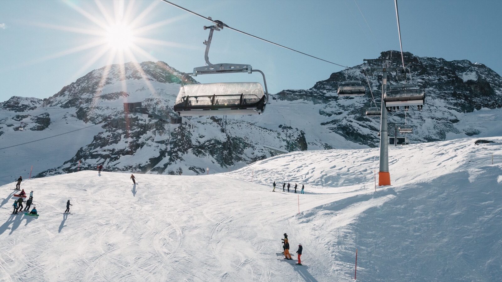
Saas-Fee itself has a hundred kilometres of pistes; add Saas-Grund and Saas-Almagell and that rises to a hundred and fifty, between 1,500 and 3,600 metres. Thanks to the glacier, snow reliability here is among the best in the Alps, even in a lean winter. There's a fun park at Morenia and broad red runs from the highest stations. The village is car-free: you park in the garage at the edge and walk or take an electric taxi. Eighteen four-thousanders form a horseshoe around the valley.
 Year-round
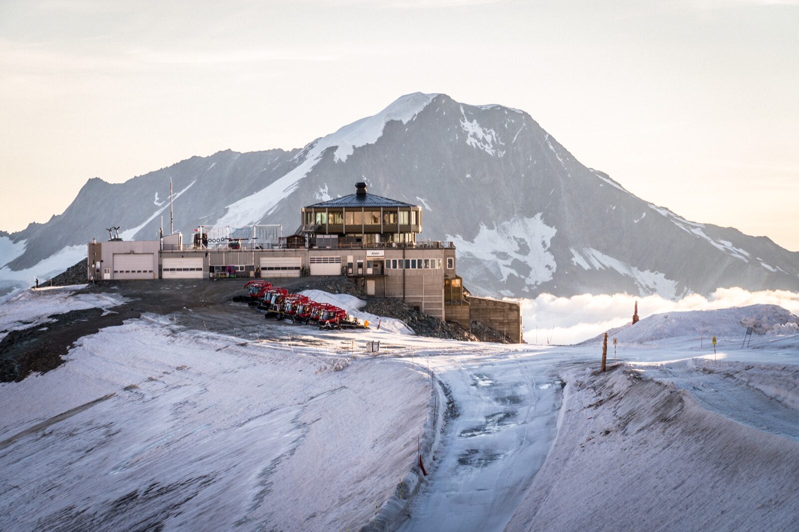
The Metro Alpin is the highest underground funicular in the world, tunnelling from Felskinn at three thousand metres straight through the mountain up to Mittelallalin at 3,500 metres. At the top, the world's highest revolving restaurant turns full circle once an hour, so the whole panorama drifts past while you eat. In 2026 the metro runs from 20 June to 31 October; in winter it forms part of the ski area. The whole journey from the village takes about forty minutes. Even non-skiers can simply ride up here.
 Summer
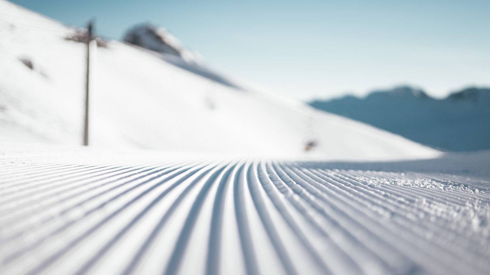
The Allalin and Fee glaciers offer twenty kilometres of pistes where skiing is possible in summer, one of the few places left in the Alps where that's still possible. International ski teams come here to train, so the grooming quality is high. In 2026 the Metro Alpin runs from 20 June to 31 October and the Alpin Express from 18 July to 31 October, daily from seven to four, with the last ascent at a quarter to four. Starting early is wise, since the snow softens by midday. Skiing in a T-shirt in August remains a curious experience.
 Summer
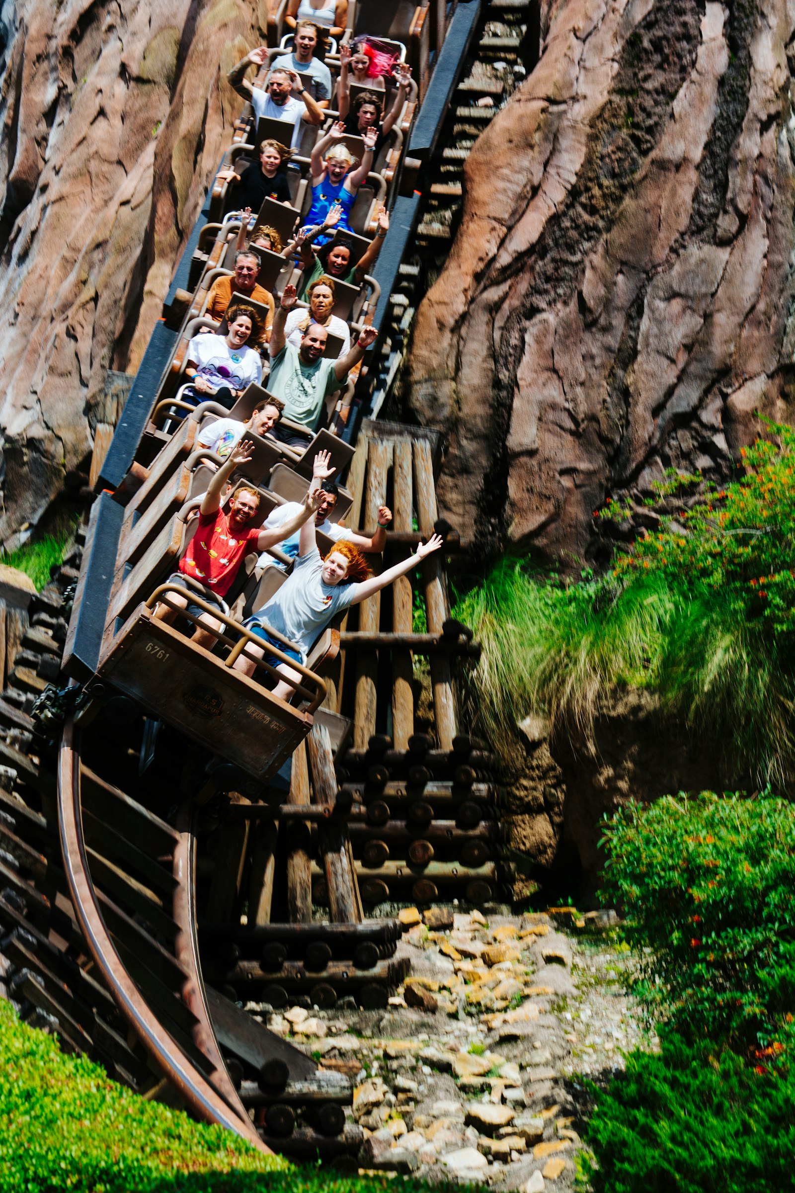
The Feeblitz reaches speeds of up to forty kilometres an hour and claims to have the steepest toboggan lift in the Alps, the ride up is almost as thrilling as the descent. In 2026 the run is open from 20 June to 25 October. A ride costs CHF 7.50 for adults and CHF 5.50 for children aged eight to sixteen. You control your own speed with a lever, so cautious and daring riders alike are catered for. Almost nobody does just one run.
 Summer
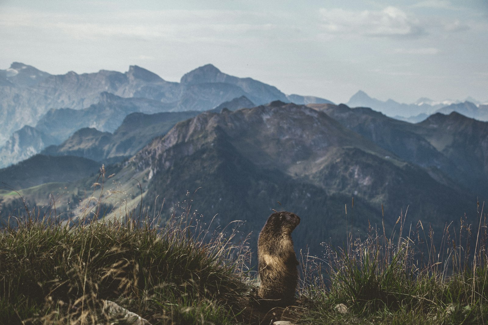
At Spielboden, at 2,488 metres, the marmots are so used to people that they come right up to the path. Children can see them close up without binoculars, something that's rarely possible elsewhere in the Alps. Feeding them isn't encouraged and isn't necessary either, they turn up regardless. From Spielboden you can walk on to Längfluh at 2,868 metres, where a glacier restaurant looks out over the icefall. The cable car takes you in either direction.
 Summer
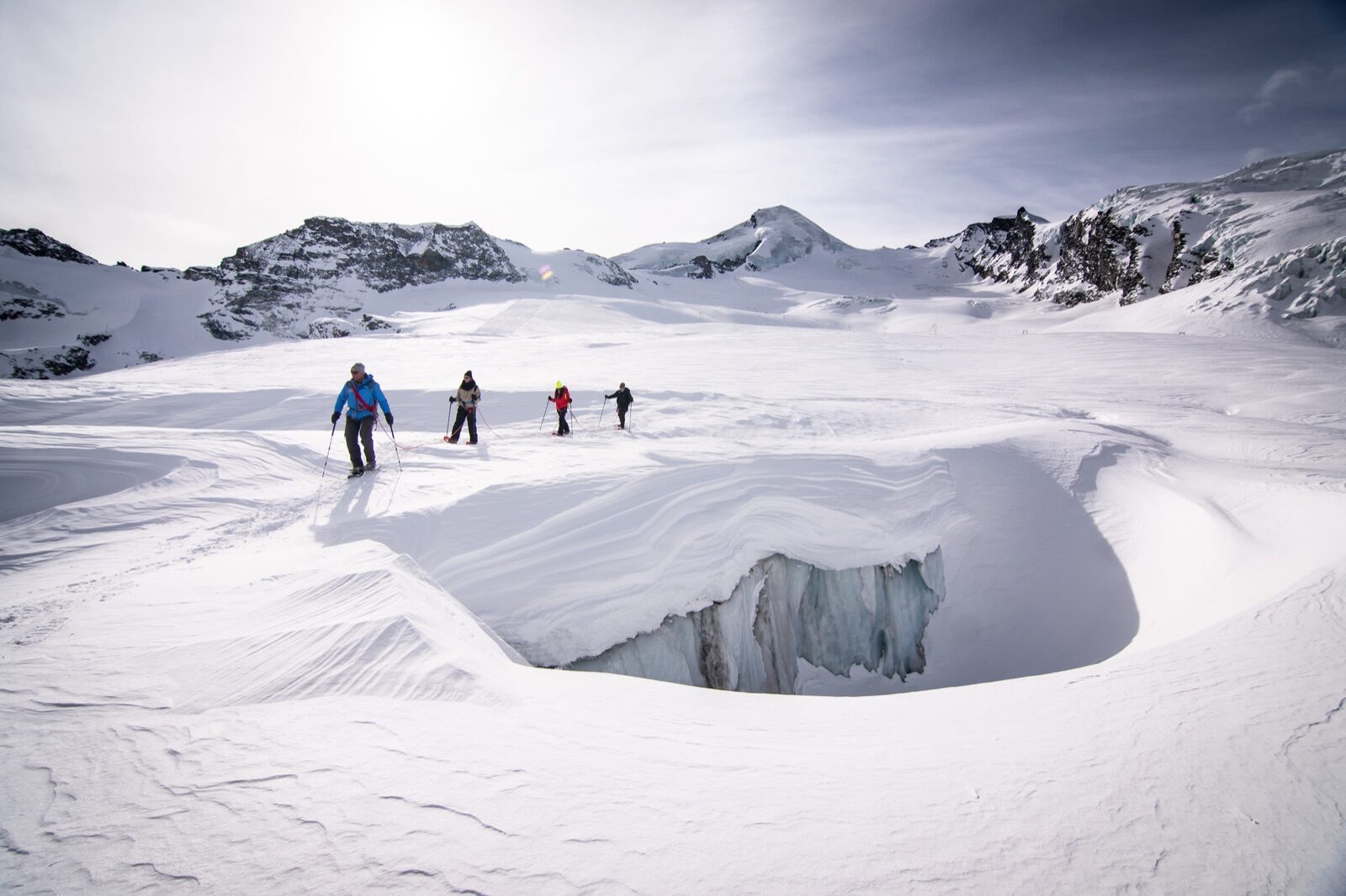
From June to September, guided glacier treks run from Längfluh at 2,868 metres to Panorama Point at three thousand metres. You walk roped up with crampons across the Fee Glacier, past crevasses and ice formations, over three to four hours. Prices range from around CHF 190 to CHF 680, depending on group size. Equipment is provided and no experience is required, though reasonable fitness is. It's the safest way to see what a glacier looks like up close.
 Winter
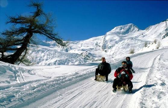
The Saastal has three toboggan runs of varying length: Kreuzboden at eleven kilometres, Hannig at six and Furggstalden at three. That means there's something suitable for every level and every age. A pass starts at around CHF 30 for adults, with toboggan hire on top. The runs are groomed and partly floodlit in the evening. For families who don't want to ski all week, this is a proper second activity.
 Summer
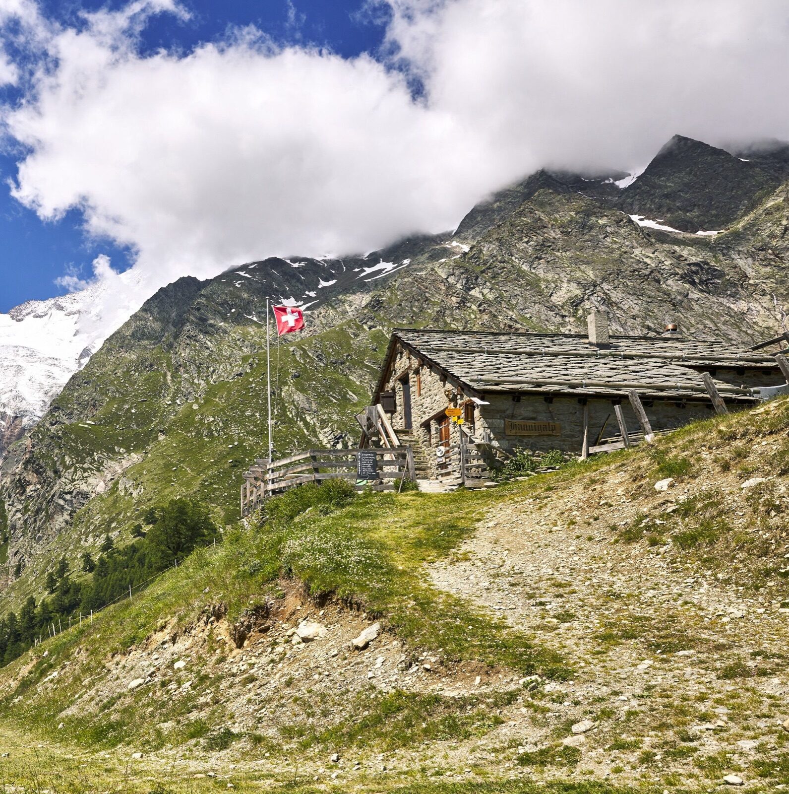
The cable car drops you at 2,336 metres on the Hannig, where a fairy-tale trail winds downhill with characters and stories along the route. It's designed for young children and does exactly what it's meant to: nobody complains about walking. The path descends steadily, so you go up by lift and walk down. At the mountain station there's a restaurant with a large terrace. Also a good option on a day when the glacier is lost in cloud.
 Summer
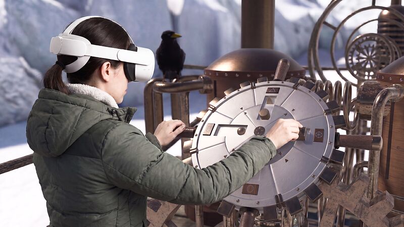
At Mittelallalin, at 3,500 metres, you can put on a VR headset for a virtual flight over the glacier landscape. A session lasts around a quarter of an hour, with up to nine people taking part at once. Adults pay CHF 20, children CHF 12, and it runs daily from nine to three from 20 June 2026. It's an odd combination, virtual mountains while the real ones lie right outside, but it works brilliantly with children. Handy if it's misty up top and the view disappears anyway.
 Winter
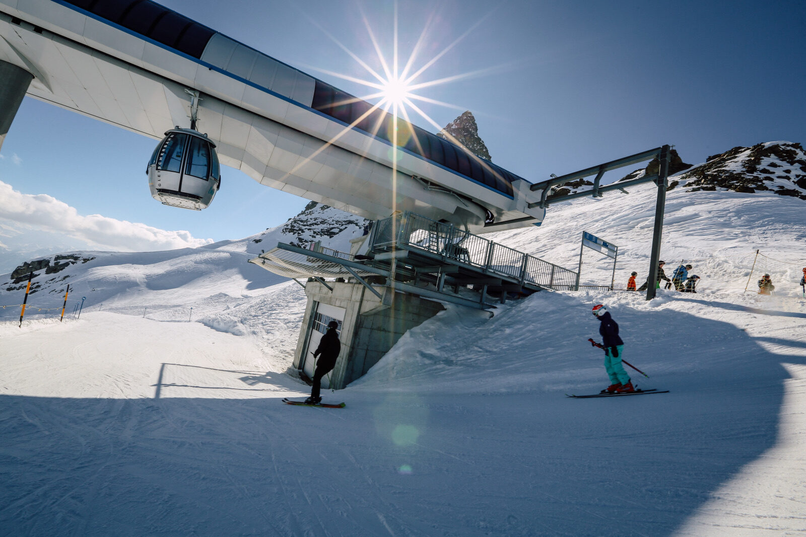
Forty kilometres of pistes according to the mountain railway itself, between 1,403 and 3,100 metres, served by a cable car, a gondola, two chairlifts, a ski lift and two magic carpets. Four of the twelve pistes are black, so this isn't an area aimed only at beginners. The highest point is the Hockenhorngrat, which keeps it snow-sure late into the season. From Wiler, a hundred-person cable car takes you up. The area is part of the Magic Pass.
 Winter
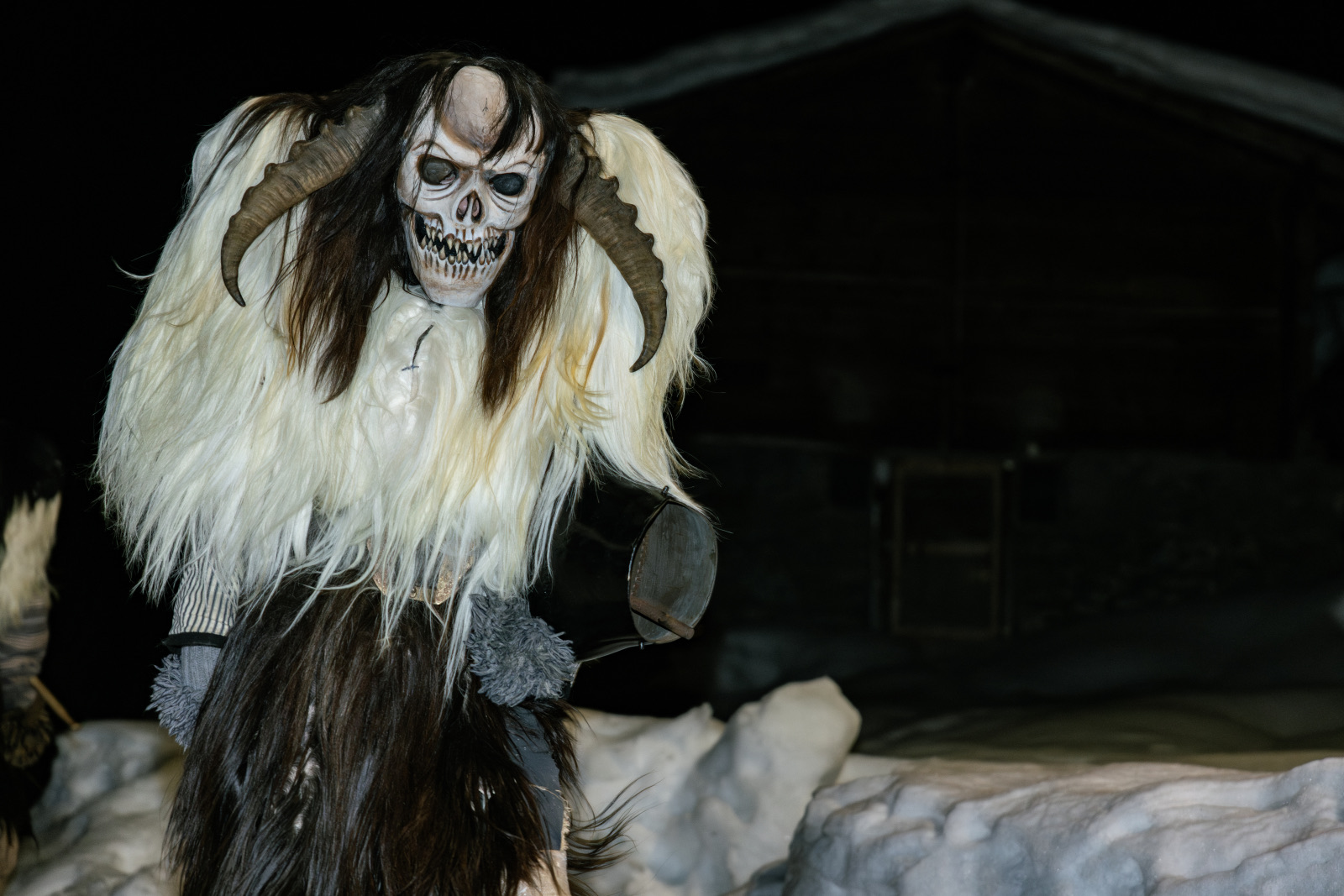
Between Candlemas in early February and the Tuesday before Ash Wednesday, the Tschäggättä roam the villages of the Lötschental: figures in roughly hand-carved wooden masks, fur pelts and heavy cowbells. Every mask is hand-carved and unique. This custom exists nowhere else in Switzerland and was never invented for tourists, it has simply never stopped. Onlookers get chased and rubbed with snow, so keep your distance if you'd rather avoid that. It's the most authentic winter tradition you can witness in the area.
 Winter
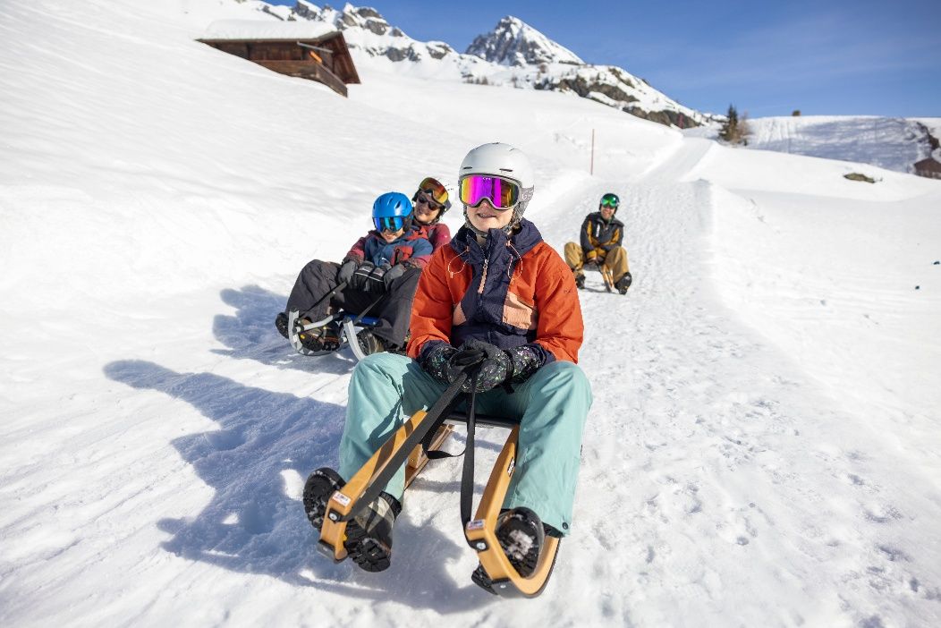
The toboggan run measures 5.3 kilometres with 525 metres of descent and takes about twenty minutes. It's rated easy, making it suitable for families with children who've never been on a toboggan before. You ride up by cable car and glide back down to Wiler, as many times as you like. Toboggans can be hired at the valley station. Along the way you look out over the valley and the traditional wooden villages below.
 Summer
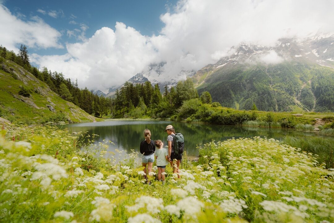
The Höhenweg runs for 9.4 kilometres from the Lauchernalp to the Fafleralp and takes about two and a half to three hours. The path stays high on the sunny side of the valley, with a constant view of the UNESCO Jungfrau-Aletsch-Bietschhorn site opposite. There's hardly any climbing involved, which makes the hike more accessible than the distance suggests. Those wanting more can take the 17.2-kilometre variant to Jeizinen, taking almost six hours. The way back is by postbus through the valley.
 Summer
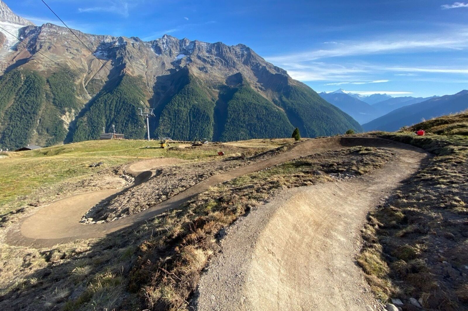
At two kilometres and about eight minutes of riding, the Loichitrail is a short, intense descent. The Bietschhorn Trail measures 13.6 kilometres with 376 metres of climbing and is a proper outing with views of the mountain it's named after. Both are well signposted. The cable car carries bikes, making the climb optional. The valley is quiet, so you share the trails with few other riders.
 Year-round
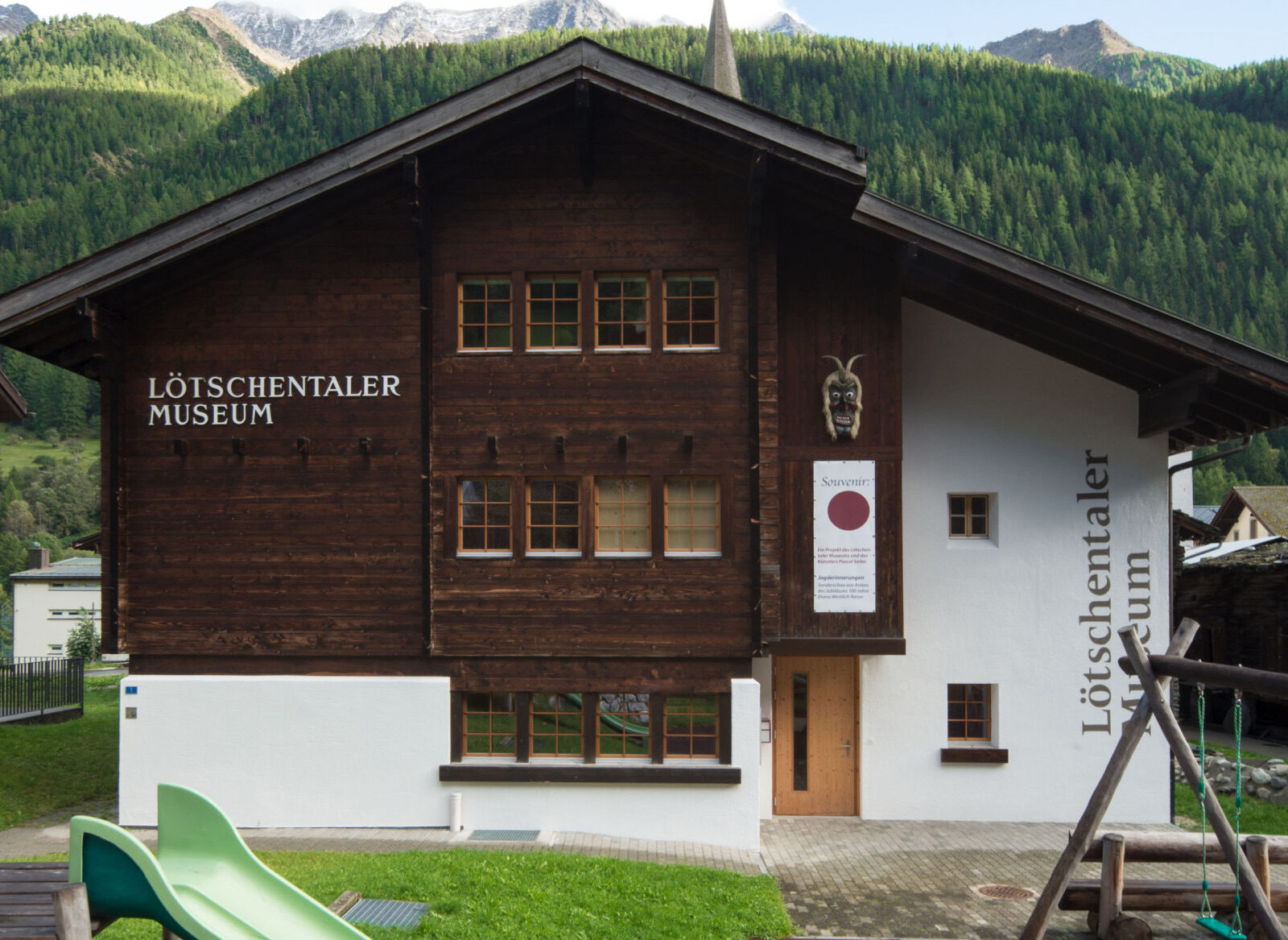
The museum in Kippel displays the work of the painter Albert Nyfeler, who captured everyday life in the valley during the first half of the twentieth century, alongside a collection of Tschäggättä masks and everyday objects. Admission costs CHF 6 for adults and CHF 1 for children. In summer it's open daily except Mondays, from two to six. It's small and can be done in an hour. A good place to understand why this valley stayed so isolated for so long.
 Summer
A guide takes you past the church, the museum and the places where the valley's legends are set. The villages of Kippel, Wiler, Ferden and Blatten have largely preserved their traditional timber buildings, with barns raised on stone posts to keep out mice. Booking is required, as tours run by appointment only. It takes about an hour and a half. For anyone wanting to understand something of the region rather than just look at it, this is time well spent.
 Winter
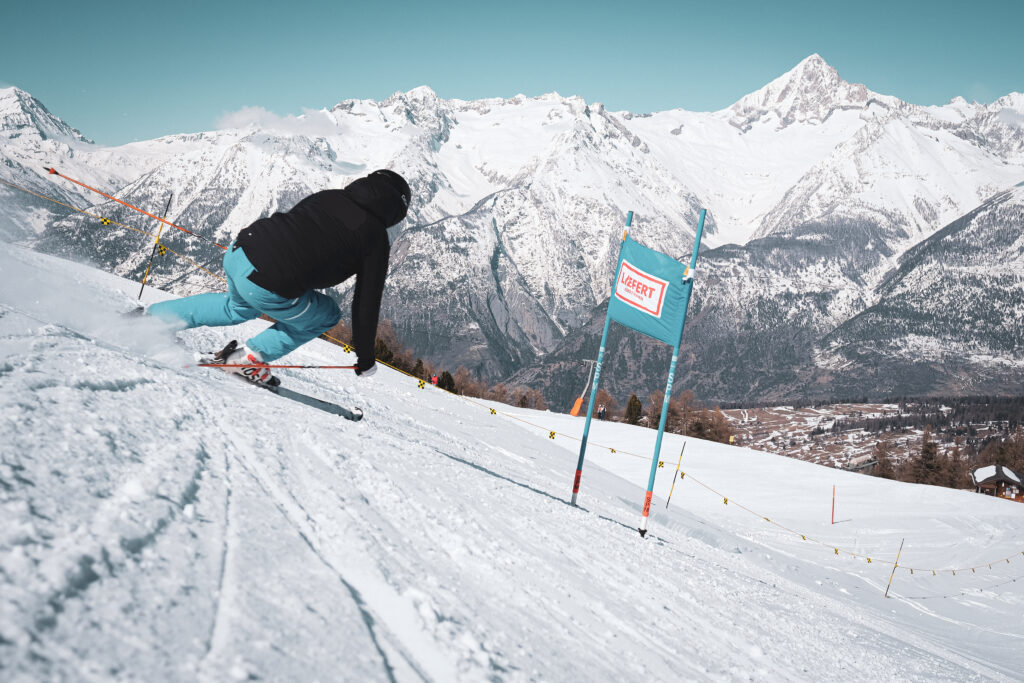
Twenty-five kilometres of pistes between 1,476 and 2,532 metres, split into ten kilometres of blue, ten of red and five of black, served by seven lifts including a chairlift. Fourteen snow cannons and four piste machines keep the area snow-sure. A day pass cost CHF 53 in 2025/26, and the Magic Pass has been valid here since 2023. From the pistes you can see the Bietschhorn, the Mischabel group, the Weisshorn group and the Dom. The area runs on a handful of permanent staff plus volunteer retirees, and you can feel it in the atmosphere.
 Winter
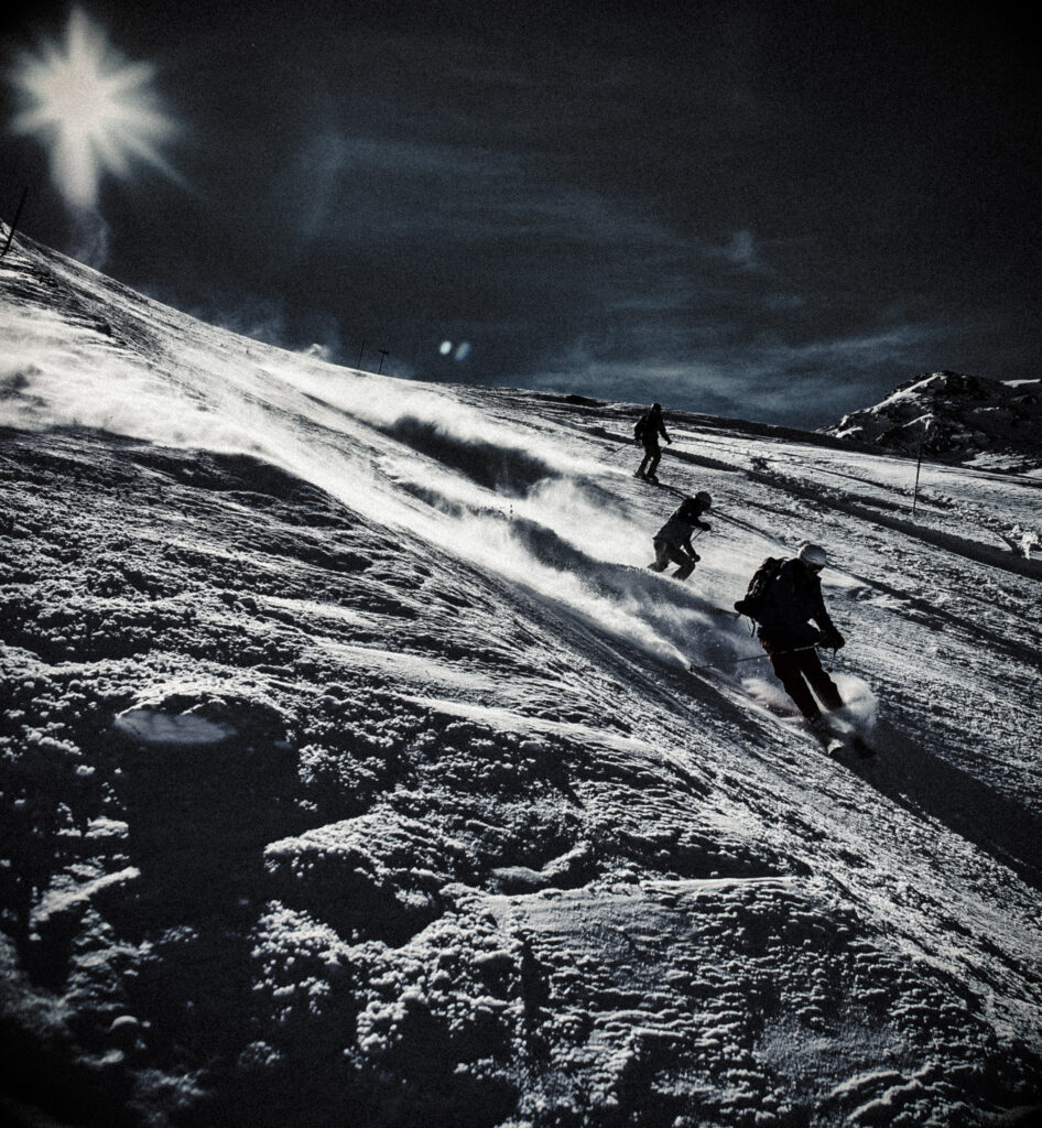
The Moosalp offers night skiing on floodlit pistes, extending the ski day by a few hours without an early start. You can also ride along in the piste basher that grooms the slopes in the evening, from the cab you see exactly how the work is done and just how steep the slopes really are. Both need to be arranged in advance with the mountain railway. For children, riding along is almost always the highlight of the week. Dress warmly, as sitting still in the cold is no fun.
 Winter
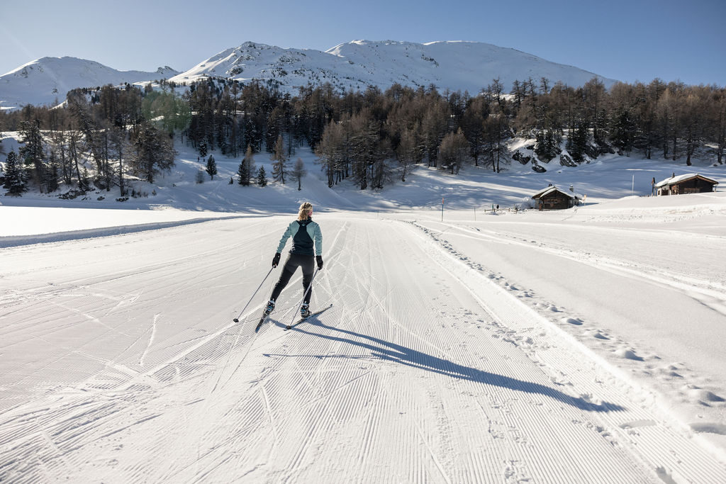
On the high plateau around the pass there are around eight kilometres of cross-country trails, at an altitude where the snow lasts well. The terrain is open, so you ski with clear views of the four-thousanders across the valley rather than between trees. It's a compact network, not a full day's tour, but just right for a morning. Equipment can be hired in the villages. Combine it with an afternoon's skiing on the same pass.
 Winter
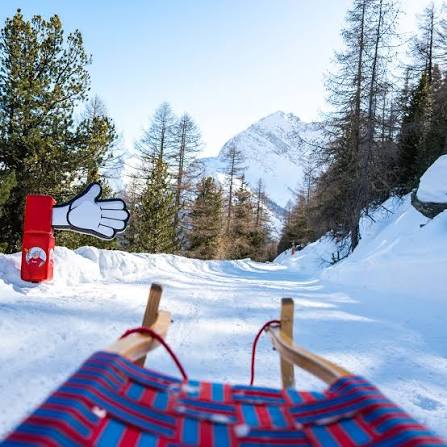
The toboggan run leads from the Bürchner Alp back down to the village and is one of the region's regular winter activities. It's a manageable length, so it's easy to combine with other things on the same day. Toboggans can be hired on site. In the Bodmen children's area there's also MoosAlbi's Kinderparadies with its own lift, designed especially for the very youngest. Together they make the Moosalp a genuinely family-oriented destination.
 Summer
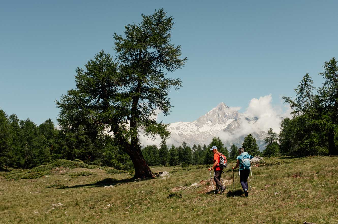
The Magic Moos Tour is an app-based GPS treasure hunt, with variants starting from Bürchen, from Törbel, and as a circular walk across the plateau. Along the way, children solve tasks tied to specific locations, which keeps them walking without even noticing. The app is free and works even without signal if you download the route in advance. The routes aren't steep and are manageable for primary-school-age children. For families, this is the best reason to head to the Moosalp.
 Summer
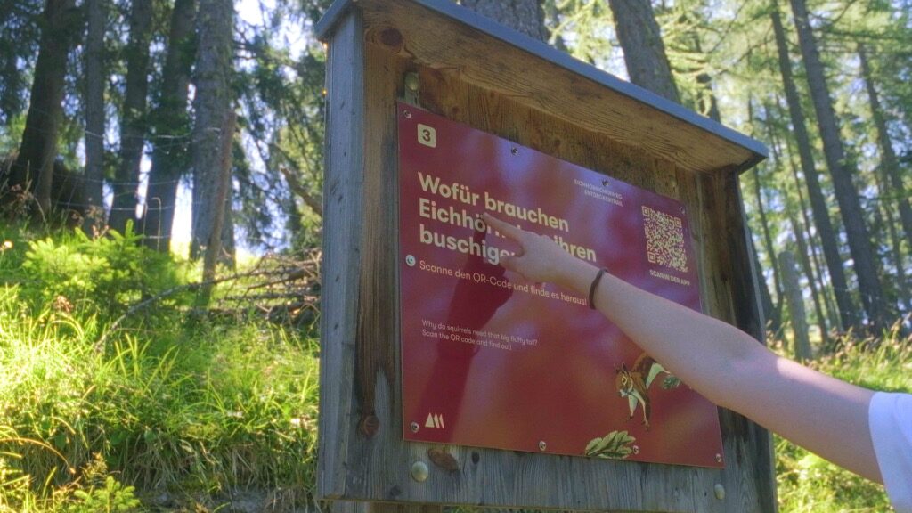
Two themed trails open up the plateau's nature: the Birkenlehrpfad, about the birch trees that grow at this altitude, and the Eichhörnchenweg, about squirrels and forest life. Both are short, flat and signposted along the way. They're aimed at families but offer something for adults too. You can combine them into half a day's walking. Benches and picnic spots line the route.
 Summer
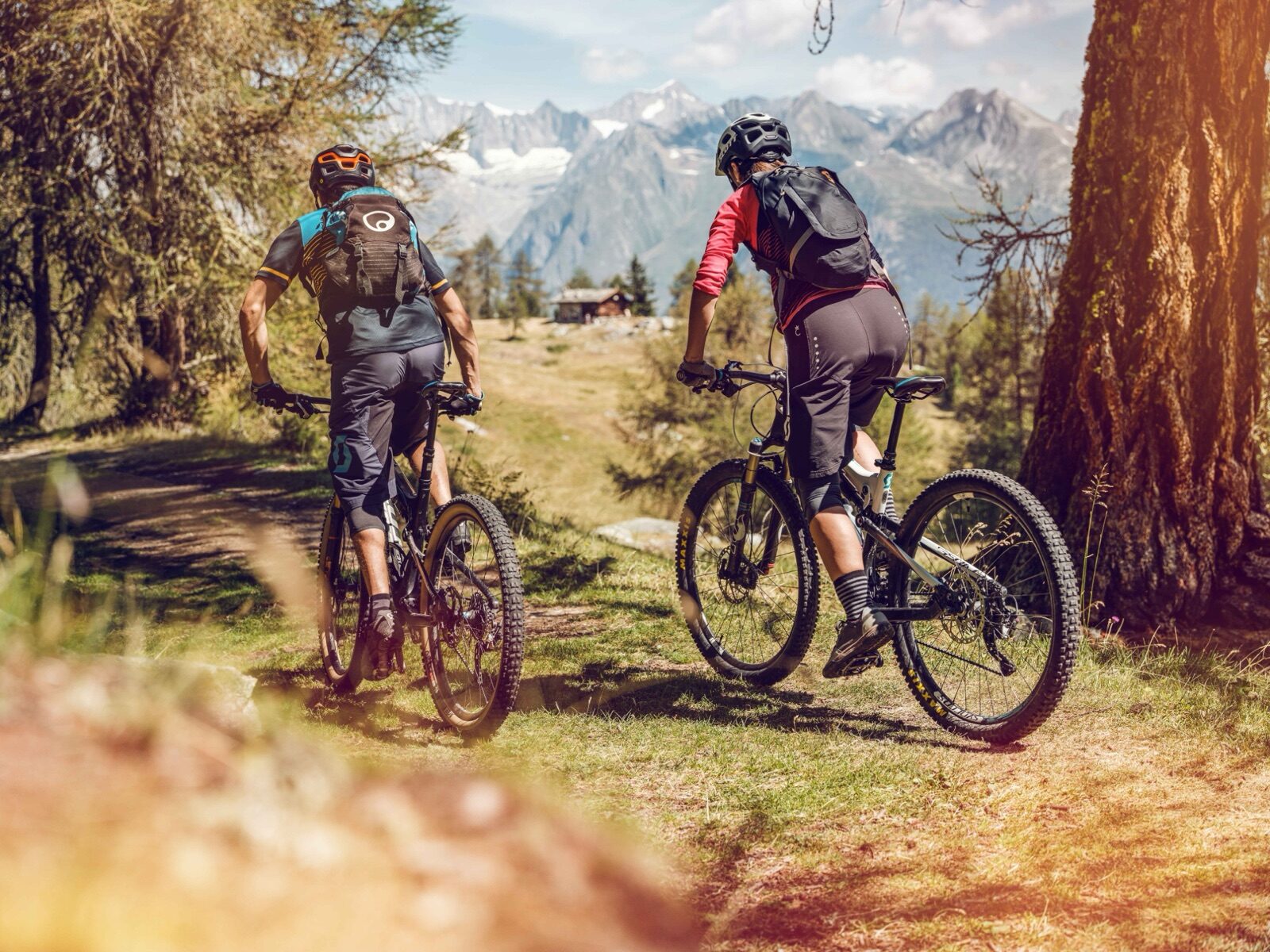
Mountain bike routes cross the plateau and link up with the Lunggi Trail near Eischoll, letting you combine two areas in a single ride. The terrain is rolling rather than steep, so it's more about distance and views than technical riding. There's little traffic and plenty of open space. The village also has mini golf, tennis, a fitness trail and a climbing wall for days you'd rather not cycle. Hire is arranged in Bürchen.
 Winter
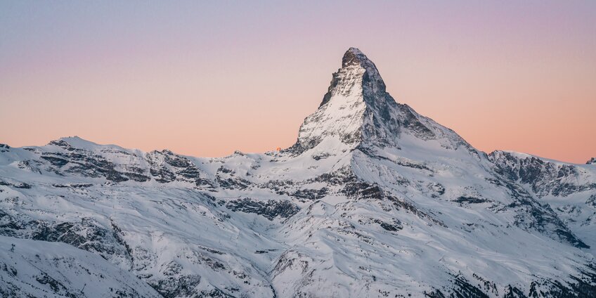
Three hundred and sixty kilometres of pistes including the Italian resorts of Breuil-Cervinia and Valtournenche, with fifty-two lifts between 1,620 and 3,883 metres, the Swiss side alone accounts for around two hundred kilometres. There are four sectors: Matterhorn Glacier Paradise, Sunnegga-Rothorn, Gornergrat-Stockhorn and Schwarzsee. The freeride terrain lies beneath the Matterhorn's north face at Schwarzsee. Zermatt is car-free: you park in Täsch and take the twelve-minute shuttle. Skiing here is possible 365 days a year.
 Year-round
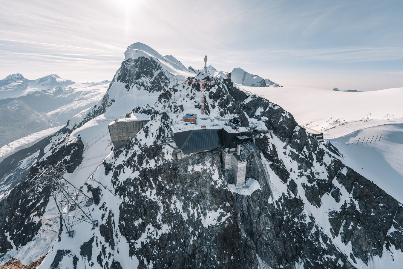
At 3,883 metres, this is the highest mountain station in Europe, reached by the Matterhorn Glacier Ride, the highest 3S cable cars in the world, some with glass floors. From the platform you can see fourteen glaciers and thirty-eight four-thousanders. Fifteen metres below the surface lies the Glacier Palace, an ice grotto with sculptures and an ice slide. There's also Europe's highest cinema. Dress warmly: even in August it's well below freezing up here.
 Year-round
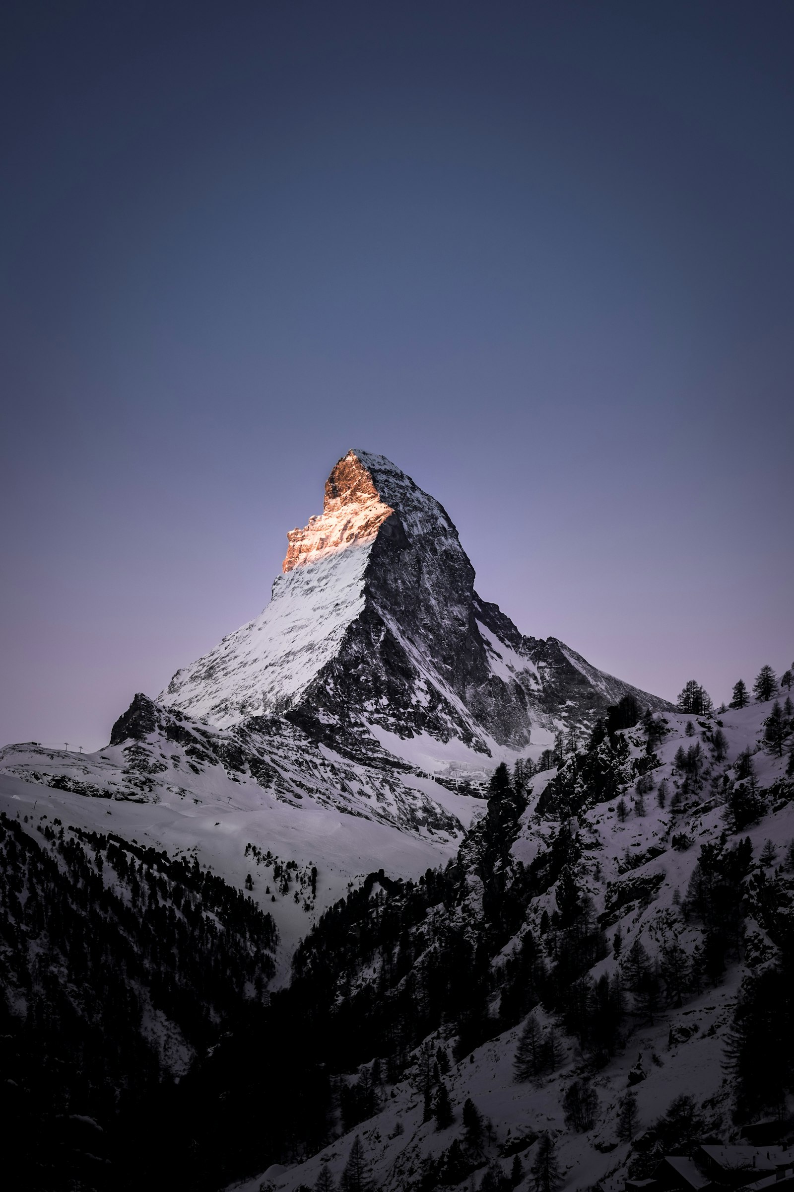
Since 1898, this rack railway has climbed just over nine kilometres from Zermatt to the Gornergrat at 3,089 metres. It's Switzerland's oldest electric rack railway and Europe's highest open-air one. At the top, twenty-nine four-thousanders come into view, with the Gorner Glacier below and the Matterhorn directly opposite. In peak season, trains depart roughly every half hour from eight in the morning. Even those with no interest in trains will spend this ride glued to the window.
 Summer
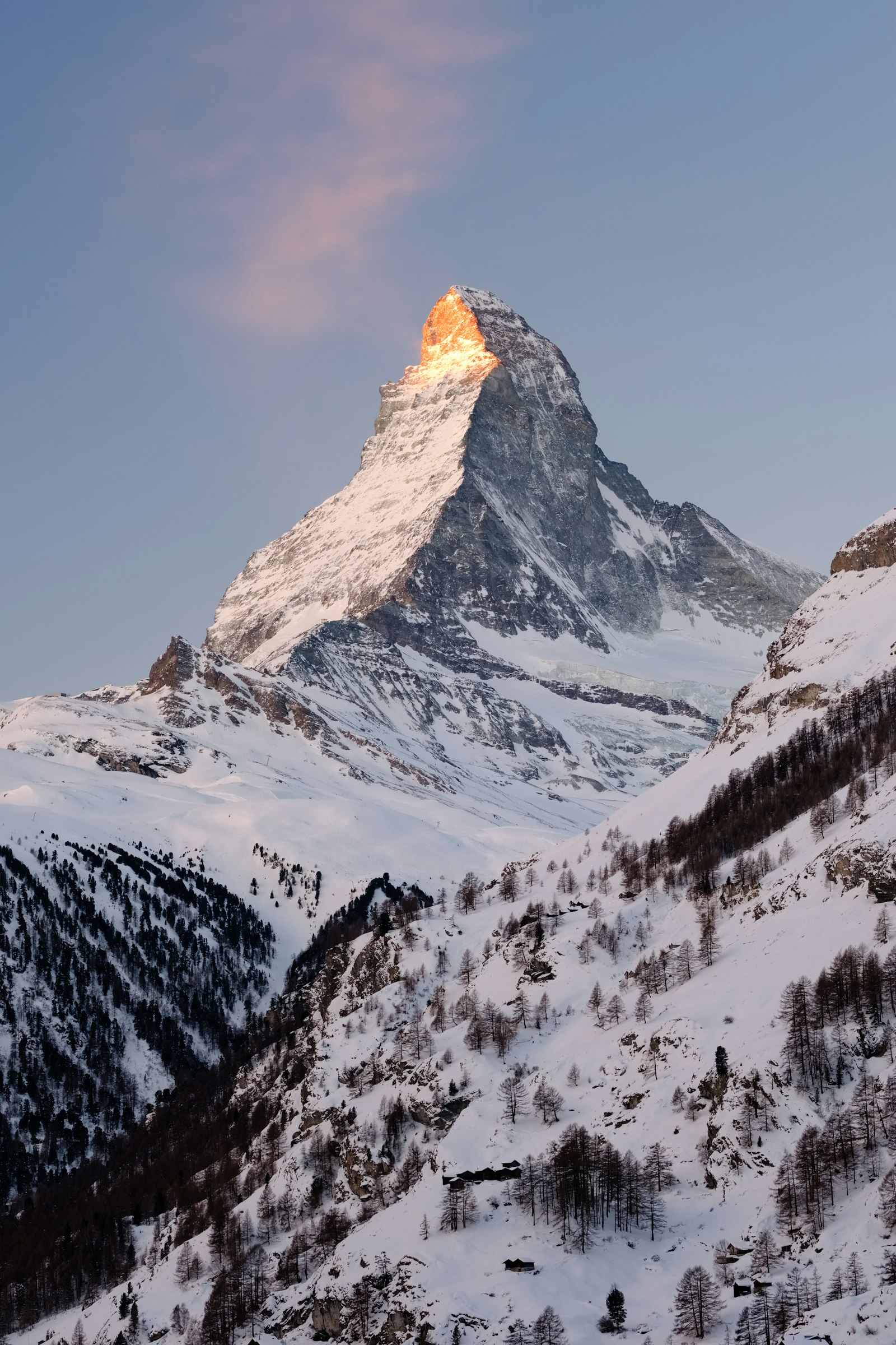
On the Theodul Glacier in 2026, from 4 May to 31 October, up to 21 kilometres of pistes are open, Europe's highest and largest summer ski area. The pistes lie above three thousand metres, where the snow holds up even in July and August. In October there's a separate short season pass. Starting early matters, since the snow softens by midday. National ski teams train here over the summer months, so you share the piste with good company.
 Year-round
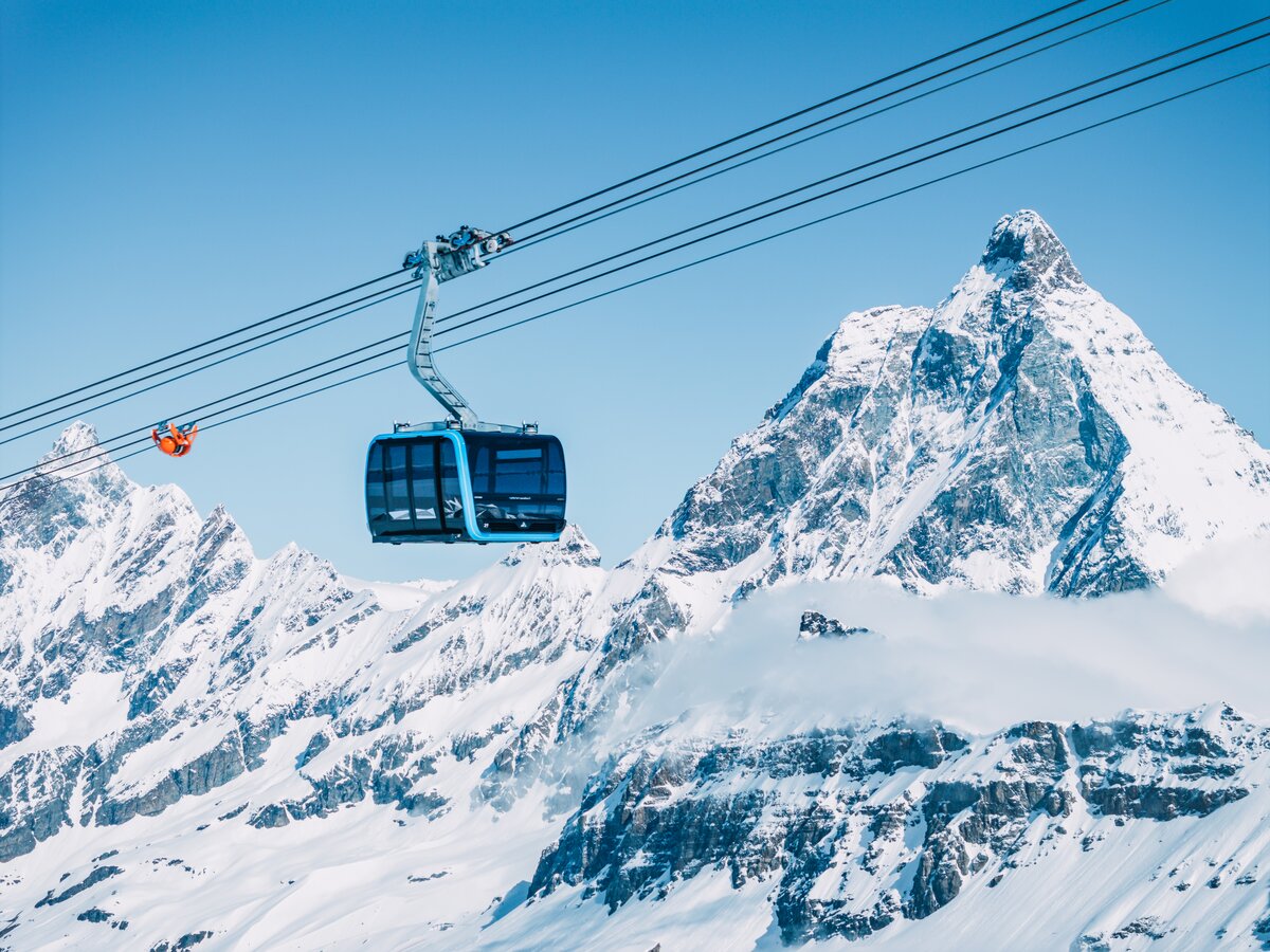
The Matterhorn Alpine Crossing carries you by cable car over the glacier from Zermatt to Testa Grigia on the Italian side, the highest border crossing in the Alps you can make without skis. The ticket costs from around CHF 147.50 and includes the Glacier Palace. On the other side you can continue on to Cervinia for an Italian lunch and be back the same afternoon. Bring ID, since you really are crossing a border. On a clear day, this is the most impressive day trip in the whole area.
 Summer
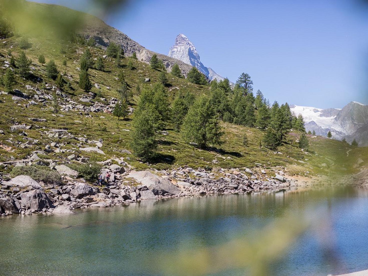
The Five Lakes Walk strings together five mountain lakes, three of which reflect the Matterhorn on a still day, Switzerland's most famous photograph is taken here. From Blauherd, at 2,571 metres, the Marmot Trail and the Flower Trail also set off, both short and manageable with children. At Sunnegga lies the Leisee, with the Wolli adventure park. Cable cars take you to every starting point. Go early for the reflection, since the wind picks up later in the day.
 Summer
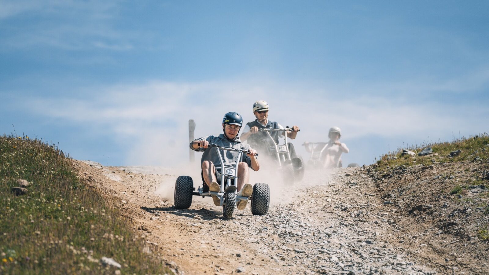
From Blauherd you roll down on a mountain cart over around three hundred metres of descent to Sunnegga, low to the ground with the Matterhorn in view. The carts have wide tyres and reliable brakes, so you decide how fast to go. It's short but intense, and most people ride it more than once. At Schwarzsee there are also dirt scooters in summer. Equipment is hired at the mountain station.
 Summer
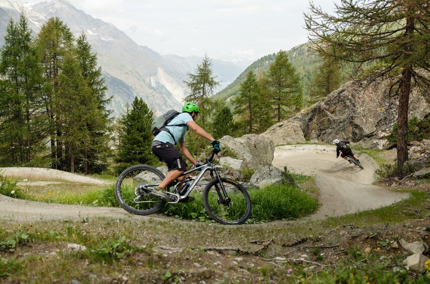
More than a hundred kilometres of bike trails surround Zermatt, between 1,400 and 3,100 metres, ranging from flowing descents to technical high-mountain routes. At the Rothorn there's also the Peak Collection, an open-air sculpture exhibition at high altitude. Europe's highest hiking trail runs here, at 3,415 metres. The cable cars carry bikes, so climbing is optional. Hire and guiding are widely available in the village.
 Summer
Around Ried-Brig and Termen runs a network of walking paths that starts right from the chalet's front door. The Ried-Brig Vitaparcours measures 2.31 kilometres and takes about half an hour; the Erlebnispfad Berglandwirtschaft near Termen is 2.67 kilometres and takes an hour, explaining mountain farming along the way. In spring the meadows here are full of poppies. There are five playgrounds and four fire pits in the area, including the Feuerstelle Burgspitz on the Basweri, close to the valley station. For the first evening after arrival, this is just right.
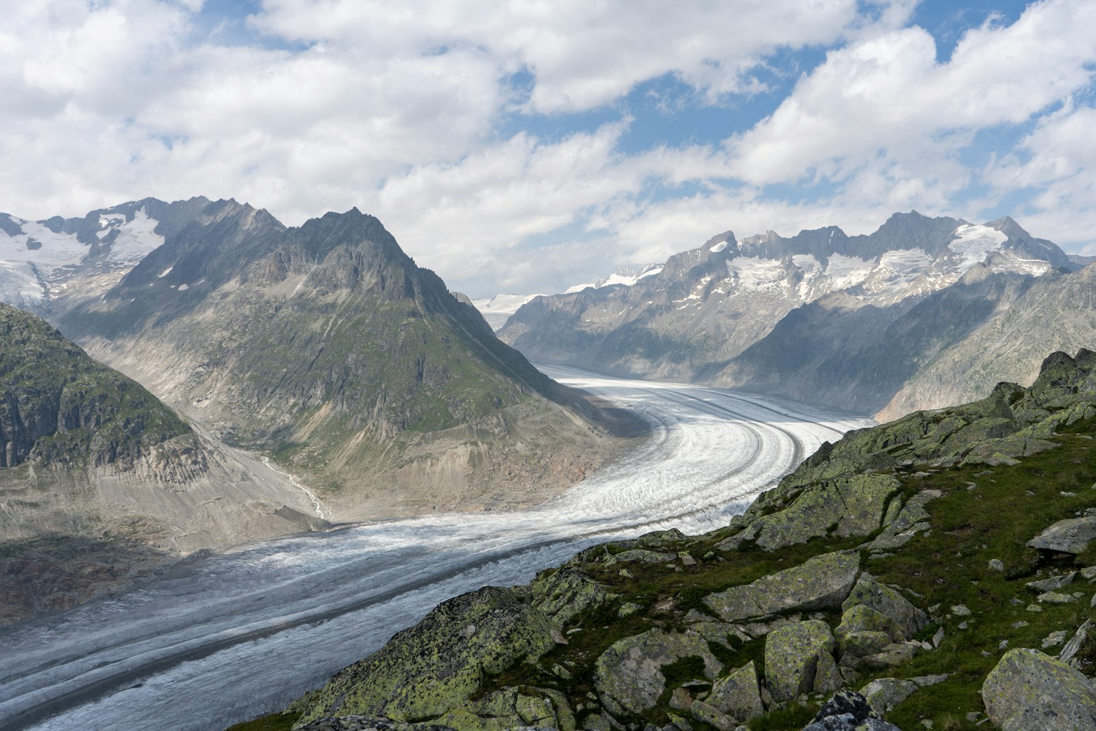 Year-round
The World Nature Forum in Naters is the visitor centre for the Jungfrau-Aletsch UNESCO World Heritage site. Through interactive displays it shows how the glacier formed, how quickly it's now retreating, and what that means for the valley. It's designed for adults and children alike and works well as preparation for a visit to the glacier itself. Allow an hour and a half to two hours. On a rainy day, this is the best indoor activity in the region.
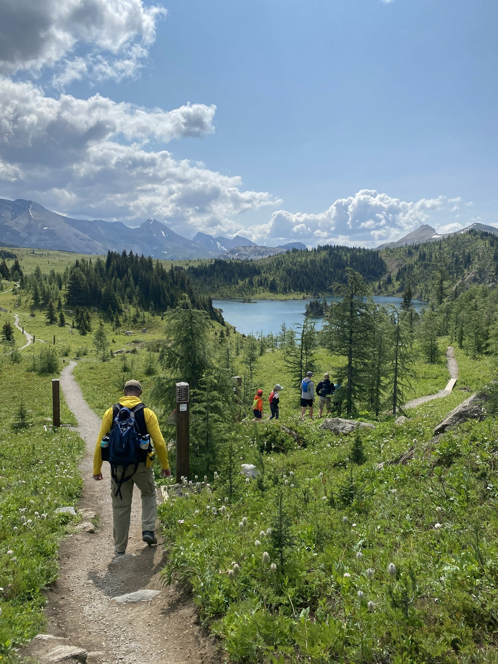 Summer
The Achera Biela nature trail winds through a landscape shaped over centuries by avalanches and watercourses, with signs explaining what you're looking at. It's one of the quietest walks in the area, far from the ski resorts and the crowds. The route is flat to gently rolling and well signposted. Along the way there's a chance of spotting golden eagles and marmots. Bring water, as there are no facilities along the route.
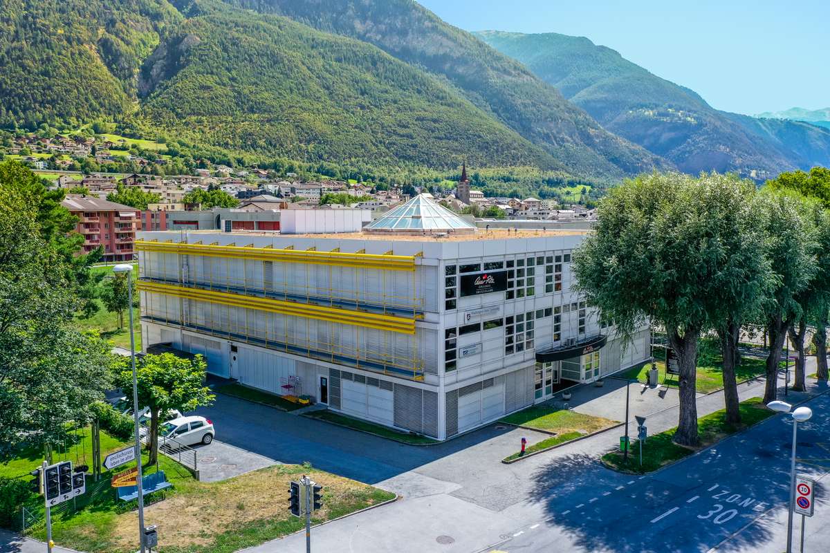 Year-round
The final-year students of César Ritz Colleges Switzerland study in Brig, less than ten minutes from the chalet. This hospitality school has ranked among the world's best for over forty years and sits in the top five hospitality schools worldwide according to the QS ranking. The campus lies in the sunny Rhône valley at the foot of the Alps, close to the Brigerbad thermal baths and a train ride from the Matterhorn. The school is named after César Ritz, born in 1850 in the Valais village of Niederwald, who became the most famous hotelier in the world and gave his name to the Ritz in Paris and London. For parents visiting their son or daughter, the chalet is a quiet base nearby, easily combined with a walk through the old town of Brig. If you want to visit your child studying at this college, the apartment at Chalet Blue Spoon is the ideal place to stay and combine your visit with all the beauty that Valais has to offer.
Prefer to browse by area?
On the areas page you see, for each area, the piste kilometres, altitude, travel time and its own website, with all the activities that belong to it.